Marion and Alfred Lorenz Marion and Alfred Lorenz
  • Home
  • Itineraries
    • Africa
      • Tanzania
      • Morocco
    • Central America
      • Belize
      • Costa Rica
      • Guatemala
      • Honduras
      • Nicaragua
      • Panama
    • North America
      • Canada
      • Mexico
      • United States
    • South America
      • Argentina
      • Bolivia
      • Brazil
      • Chile
      • Colombia
      • Ecuador
      • Paraguay
      • Peru
      • Uruguay
    • From Hamburg to Buenos Aires
    • Asia
      • Cambodia
      • Laos
      • Thailand
      • Vietnam
    • Europe
      • Central Europe
      • France
      • Italy
      • Portugal
      • Scandinavia
      • Spain
  • Mountains
    • Africa - Overview
    • Central America - Overview
    • North America - Overview
    • South America - Overview
    • Asia - Overview
    • Europe / Scandinavia - Overview
    • Europe / South - Overview
  • Pictures
    • Pictures Africa
      • Pictures Morocco
      • Pictures Tansania
    • Pictures Central America
    • Pictures North America
      • Pictures Canada
      • Pictures Mexico
      • Pictures United States
    • Pictures South America
      • Pictures Argentina
      • Pictures Bolivia
      • Pictures Brazil
      • Pictures Chile
      • Pictures Colombia
      • Pictures Ecuador
      • Pictures Paraguay
      • Pictures Peru
      • Pictures Uruguay
    • Pictures Asia
      • Pictures Cambodia
      • Pictures Laos
      • Pictures Thailand
      • Pictures Vietnam
    • Pictures Europe
      • Pictures Central Europe
      • Pictures France
      • Pictures Italy
      • Pictures Portugal
      • Pictures Scandinavia
      • Pictures Spain
    • Pictures - From Hamburg to Buenos Aires with a cargo ship
  • Maps
    • Maps Africa
      • Map Morocco
      • Map Tanzania
    • Map America Entire
    • Map Central America
    • Maps North America
      • Map Alaska and Canada - West
      • Map Mexico
      • Map United States - Northwest
      • Map United States - Southwest
    • Maps South America
      • Map South America - Northwest
      • Map South America - Central
      • Map South America - South
    • Map Southeast Asia
    • Maps Europe
      • Map Central Europe
      • Map France
      • Map Italy
      • Map Portugal and Spain
      • Map Scandinavia
      • Map Spain - Mallorca
  • GPS Coordinates
    • GPS - Africa
    • GPS - Central America
    • GPS - North America
    • GPS - South America
    • GPS - Asia
    • GPS - Europe
  • Guestbook
  • About
    • About Marion and Alfred
    • Chronology
    • Newsletter Subscription
  1. You are here:  
  2. Home
  3. Itineraries
  4. North America

Alaska - Haines and Skagway, Seattle and Columbia River Gorge

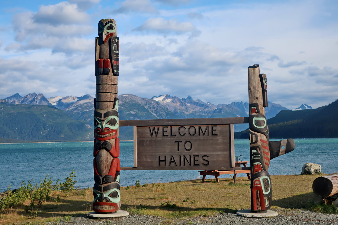
We came back to Alaska to beautiful Haines on August 17th 2019. It is famous for watching fishing Bears on Chilkoot River during the Salmon run but we had no luck. However we spent a nice evening chatting with a younger German couple in the late evening.

Totem Poles in Haines


But we had very good luck on Mount Ripinsky which is a splendid day hike from Haines. The views to the glaciers, mountains and sounds were overwhelming.

Read more …
Add new comment

From Kluane National Park to Vancouver

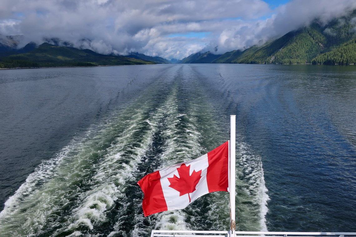
From Alaska back to the lower 48 states through Canada we chose Alaska and Cassiar Highways. From Prince Rupert we took the the ferry through the Canadian Inside Passage which was a wonderful 15 hours trip. This ferry ends in Port Hardy in Vancouver Island, where we explored its northern and central parts before we continued to the metropolis of Vancouver.

Canadian flag on the ferry through the Inside Passage


Read more …
Add new comment

Alaska - Central and South

Finally we came to Alaska after we had started our journey in South America more than eight years ago. We had met many nice people, had observed a lot of stunning animals, had seen beautiful landscapes and cities, had climbed up more than 250 exciting mountains and had driven approximately 140,000 kilometers with our little camper.

Our impression about Alaska is that it is everything but cold, at least in summer. We spent more than seven weeks in central and southern Alaska which is accessible by roads. The sun was shining nearly always with temperatures higher than 25°C, and we had just two days with rain. We enjoyed swimming in many lakes with pleasant temperatures, sometimes in front of icy mountains. Our car was full of warm gear like excellent sleeping bags which we never needed.

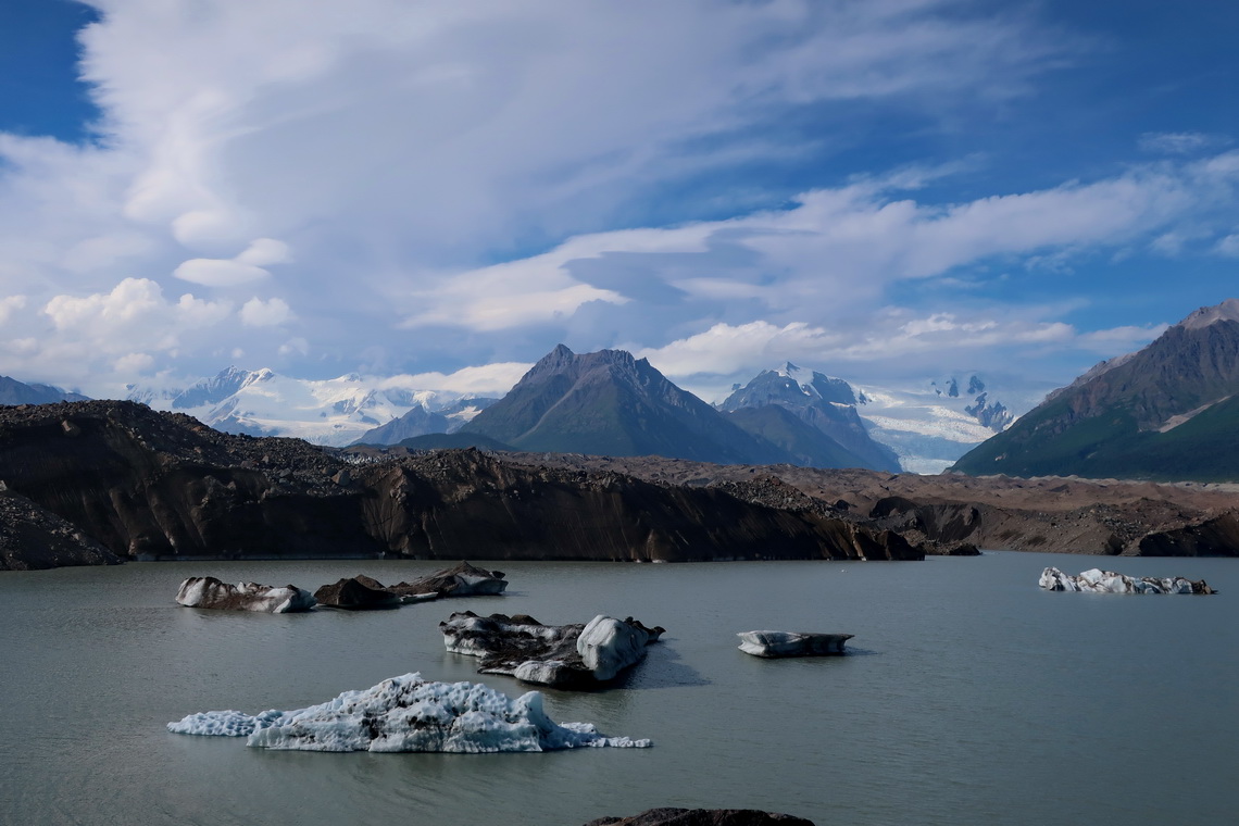
Lake with icebergs on foot of huge Kennicott Glacier


Alaska was Alfred birthday present because we crossed its border on June 23rd 2019. We celebrated both events in the only bar in the "Downtown" of Chicken which is an old gold mining town with seven inhabitants based on the census 2010.

Read more …
Add new comment

From Edmonton to Dawson City

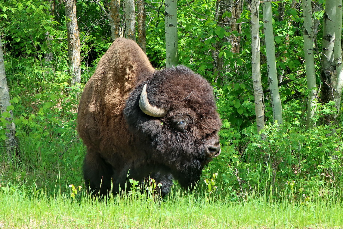
We saw incredible much wildlife on our way from Calgary to Alaska via Dawson City. After seeing 13 bears on one single day we stopped counting them.

Plains Bison in Elk Island National Park


We left Germany in the late afternoon of June 4th 2019 and had an interesting flight to Calgary with Condor with awesome views of Greenland and northeastern Canada.

Read more …
1 comment

Jasper / Banff 2nd and Dinosaurs

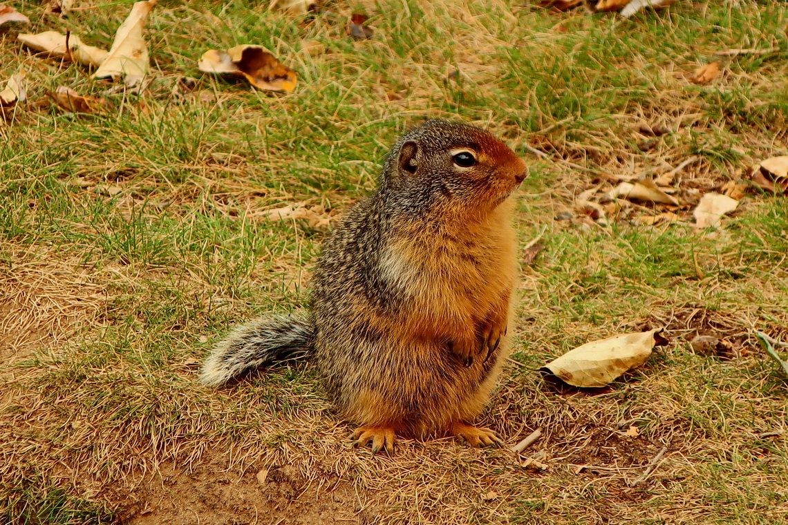
From Vancouver Island we drove quickly to Mount Robson Provincial Park. On the way we stayed one night on a nice parking lot Blue River on highway 5 (GPS coordinates: N52° 13.488' W119° 13.091') where we saw some cute animals.

Ground Squirrel on Blue River rest area


In the morning we realized that some trees were burning close to the rest area. Fortunately the wind came from the opposite direction.

Read more …
1 comment

Vancouver Island - South

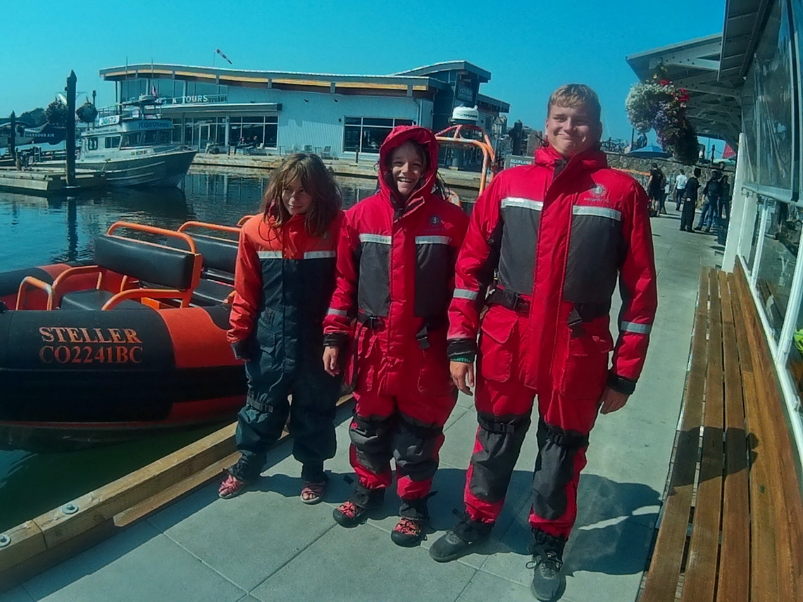
An outstanding must to do on Vancouver Island is Whale Watching, especially with kids. We choose the company Orca Spirit Adventure in Victoria because they had four seat available on a little boat for Rosemarie, Alfred, Jay and Kuba. Jutta, Marion and Hermann took a larger and more convenient ship.

Three Astronauts in front of the litttle boat


The cruise to the tiny rocks of Port Angeles in USA was quite bumpy. Fortunately we had our warm and cozy Astronaut like gear with a good padding. There was no customs on the border because we had no passports with us. There we met the larger ship with Jutta, Marion and Hermann.

Read more …
Add new comment

From Glacier / Waterton to Banff / Yoho Nationalparks

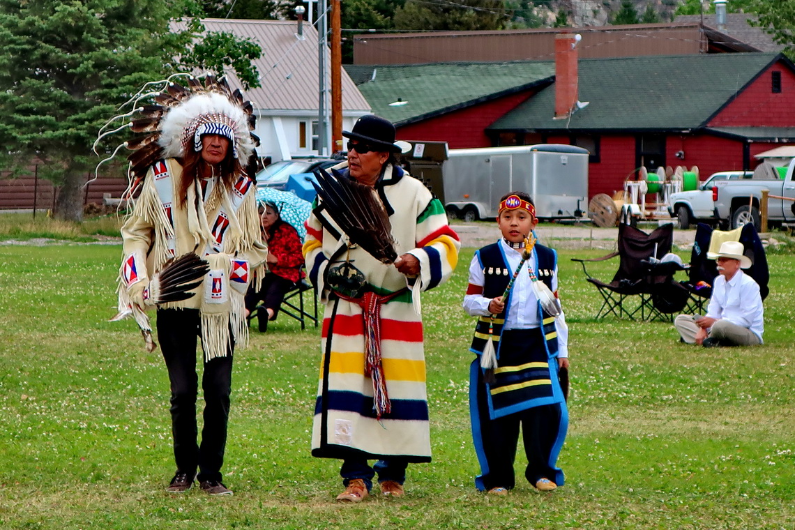
On July 24th 2018 we crossed the border to Canada via the International Peace Park World Heritage Site Waterton - Glacier. Firstly we drove to Waterton Village to check the actual conditions in the Waterton National Park. It turned out that all streets and most of the trails were closed due to a huge fire last September. Still we were lucky because there was an impressive Pow Wow festival of the Blackfoot Indians, an unforgettable experience for us.

Indian Chiefs


There was dancing the whole afternoon including many kids supported by drumming. The costumes were very colorful and so beautiful.

Read more...

From Glacier / Waterton to Banff / Yoho Nationalparks

On July 24th 2018 we crossed the border to Canada via the International Peace Park World Heritage Site Waterton - Glacier. Firstly we drove to Waterton Village to check the actual conditions in the Waterton National Park. It turned out that all streets and most of the trails were closed due to a huge fire last September. Still we were lucky because there was an impressive Pow Wow festival of the Blackfoot Indians, an unforgettable experience for us.

Indian Chiefs


There was dancing the whole afternoon including many kids supported by drumming. The costumes were very colorful and so beautiful.

Read more …
1 comment

Wyoming - Bears and More

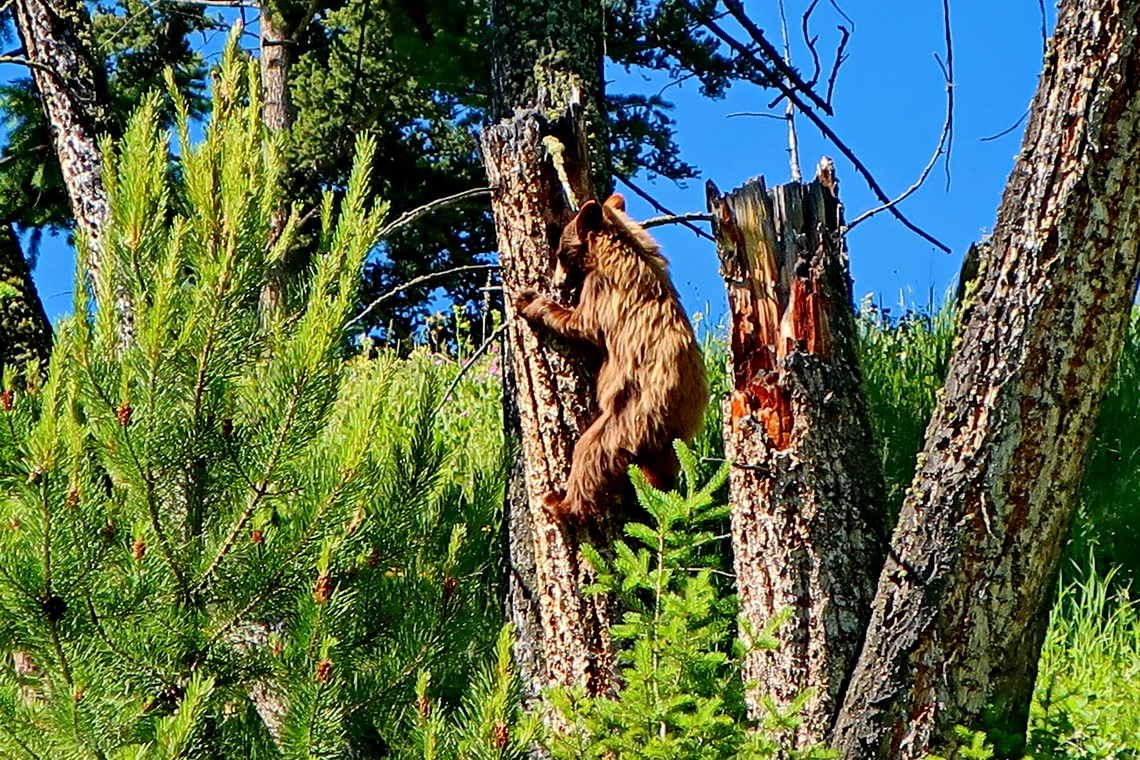
We saw incredible much wildlife in the beautiful mountains of Wyoming. This state is adored with two famous National Parks - Grand Teton and Yellowstone, and many wilderness areas like the majestic Absaroka, Bighorn and Windriver Ranges with the tallest summits of the Rocky Mountains outside of Colorado. There is no bigger city in Wyoming, just half a million people are living on 253,000 square kilometers (2/3 the size of Germany!).

Little brown Black Bear climbing on a tree trunk


Our first impression of Wyoming was Japanese because we were stopped on the highway close to Laramie by a twin of our car full of Japanese men. They were so excited seeing a European Volkswagen Camper based on EuroVan which is the US version of the European Transporter T4.

Read more …
Add new comment

The highest peaks of the Rocky Mountains

In Colorado are the highest peaks of the Rocky Mountains, which are more than 4,800 kilometers long and mainly several hundred kilometers wide. The European Alps are tiny in comparison with the Rocky Mountains but have few slightly higher summits.

American people measure altitudes in feet, thus 14ers are important for them (more than 14,000 feet - approximately 4270 meters sea-level). All 58 14ers of the Rocky Mountains are in Colorado. More than 500 summits exceed 4000 meters sea-level. Its tallest point Mount Elbert (4401 meters sea-level) is the second highest summit of continental USA (without Alaska) after Mount Whitney in California.

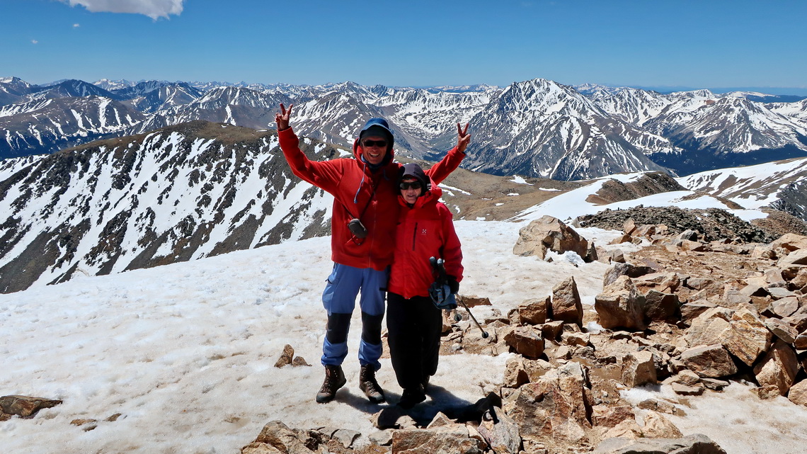
Marion and Alfred on top of Mount Elbert


Read more …
2 comments

Rocky Mountains - Ski Mountaineering and Denver

End of March 2018 we came the first time to the Rocky Mountains via the highway Interstate 40 between Great Junction and Denver. We had taken our skies from Germany and we were eager to do some Ski Mountaineering. Unfortunately the conditions were everything but good because it was very stormy, cloudy and much to warm. In the year 2018 the southern Rocky Mountains received unusually little snow. Many ridges up to 4000 meters sea-level and more were without snow. However we did two nice tours in the Front Range close to the Eisenhower Tunnel and in the Vazquez Peak Wilderness Area.

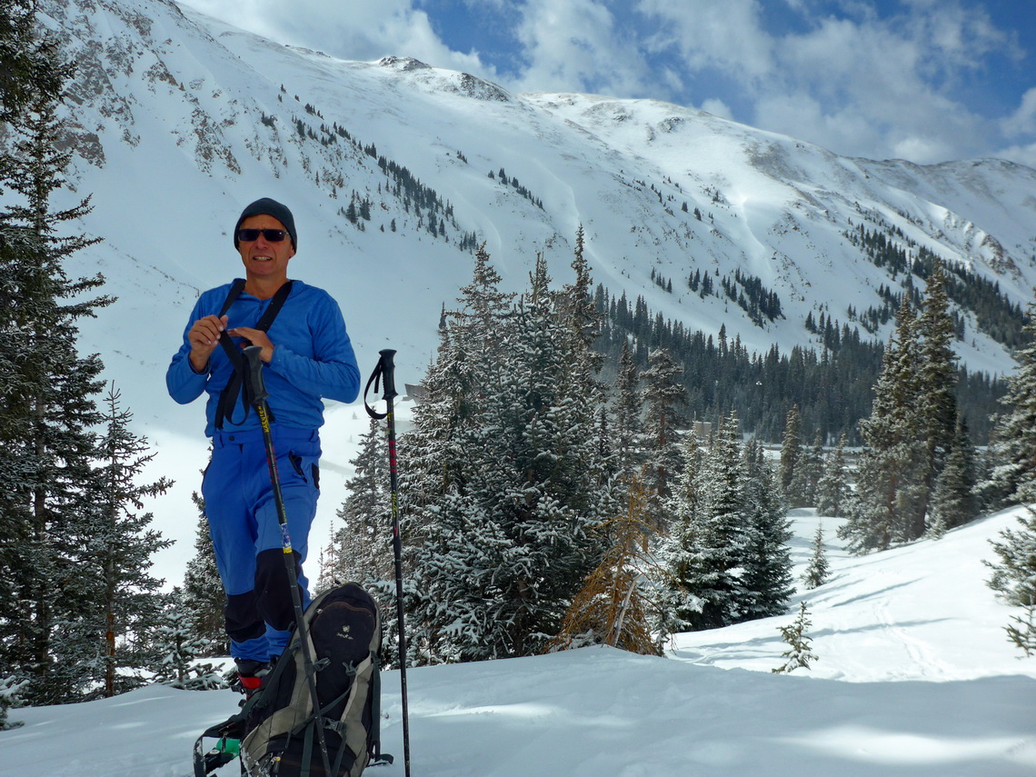
Alfred in the valley behind the western entrance of the Eisenhower Tunnel


Read more …
Add new comment

Monument Valley, Petrified Forest and other treasures on Colorado Plateau

We came back again to the Colorado Plateau from the south via northern Arizona where some marvelous parks and areas are located. It is mainly the land of the indigenous Navajo Nation which is with more than 300,000 people the second biggest native tribe in USA. In this region we saw many stunning cliff dwellings of the ancient people built approximately 1,000 years ago. It is still a secret why most of them were left around 1300.

Thanks to Marlboro, many (western) movies and film stars like John Wayne Monument Valley is one of the most famous parts of North America. It is managed by the Navajo people and shows in addition to the overwhelming landscape actual and historical Navajo life in an impressive little museum.
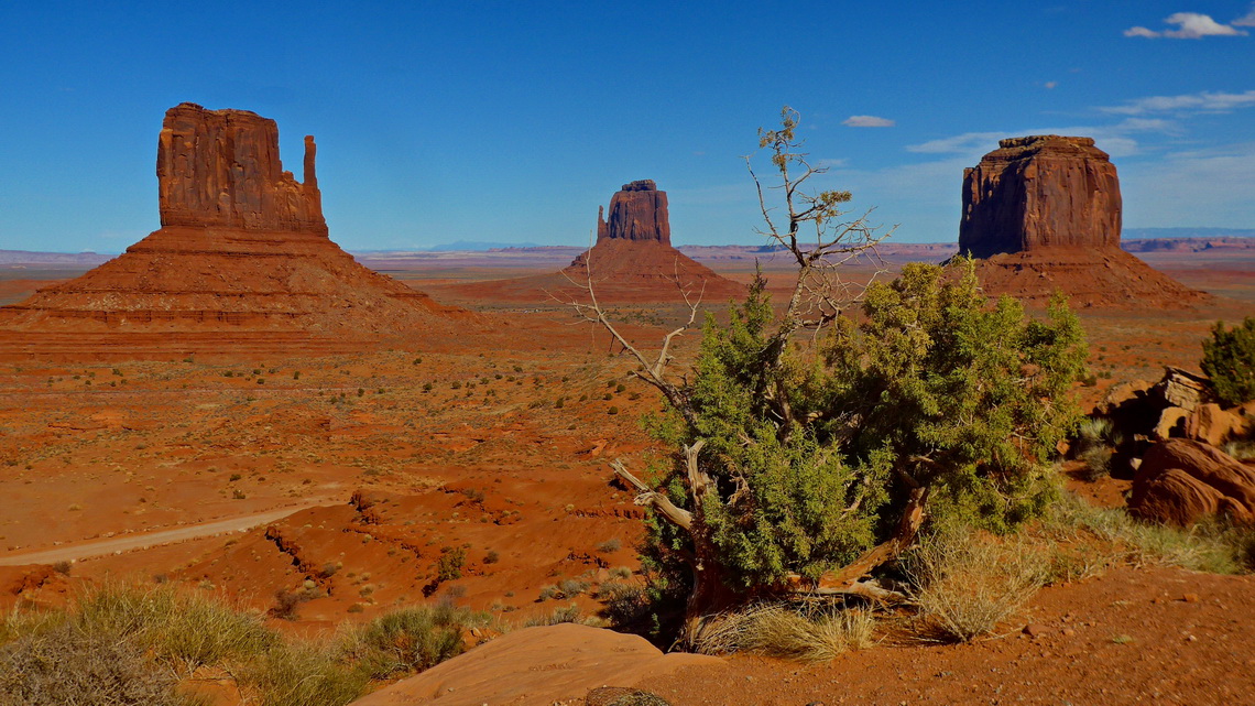
West Mitten, East Mitten and Merrick Butte seen from the Visitor Center of Monument Valley


Remarkable are 400 Navajo Code Talkers which played a famous role during World War II by relaying radio messages using their own language, which the Japanese were unable to understand.

Our first stop was the beautiful Petrified Forest National Park with colorful specimens from small shards to massive trunks of a prehistoric forest in the arid Painted Desert.

Read more …
Add new comment

Grand Canyon and southern Arizona

Grand Canyon is one of Earth's most powerful inspiring landscapes overwhelming the senses. It's system of gorges created by the mighty Colorado River, 450 kilometers long, up to 27 kilometers wide and up to 1,600 meters deep. In addition to its beauty it's full of live, an island in an arid environment. People lived there for more than 12,000 years. Thanks to the high elevation change a wide range of plant and animal communities are found on its slopes.

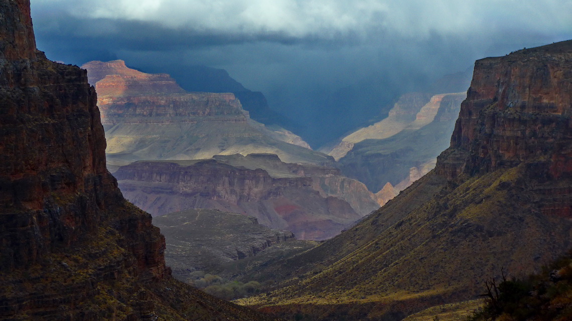
Bad weather on the upper Bright Angel Trail


To avoid the usual crowd of visitors we came mid of February 2018 to the south rim of Grand Canyon. Sometimes it was a little chilly in the morning on the 2,200 meters high plateau (up to -9°C) and we enjoyed some snow.

Read more …
1 comment

Las Vegas 2nd and its environment

We came back to Las Vegas on December 19th 2017 and disaster started on the next day: Our little motor-home which we had stored in Overton did not start. First we exchanged the battery, then the starter, then the engine, then the exhaust manifold and so on. We stayed in the Las Vegas region much longer than we had planned - until beginning of February 2018. But this mess gave us the chance to enjoy the American way of Live and to explore Las Vegas including its marvelous environment with many mountains in depth.

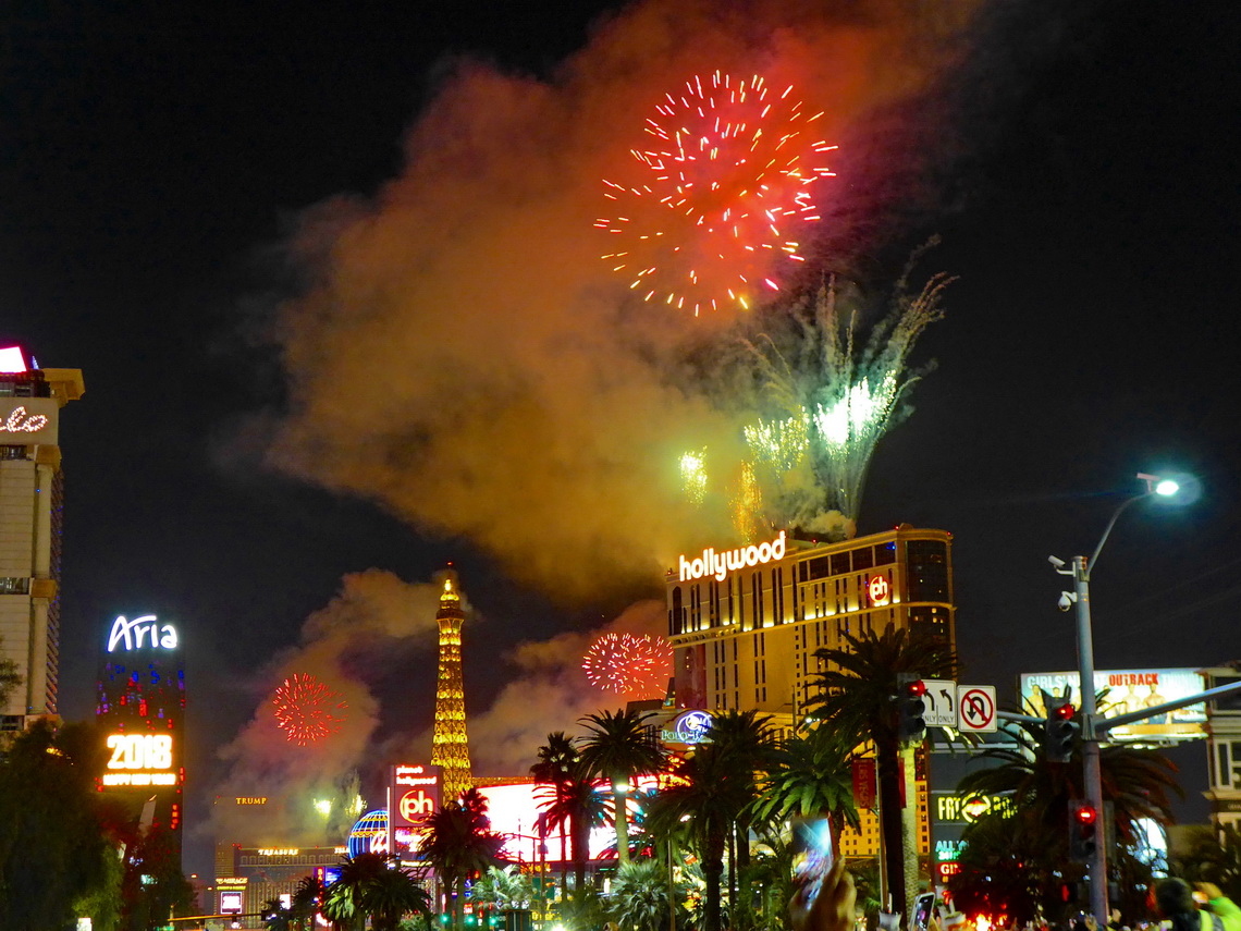
Happy New Year Las Vegas!


Read more …
2 comments

Las Vegas and three National Parks of southern Utah

Las Vegas bills itself as The Entertainment Capital of the World for its innumerably casinos, huge resorts and fancy shows and other leisure activities. More than 40 millions tourists come to Las Vegas every year, also many couples for marriage which is quite easy in there.

Before we came to Las Vegas beginning of May 2017 we visited the outstanding National Parks Capitol Reef, Bryce Canyon and Zion of southern Utah.

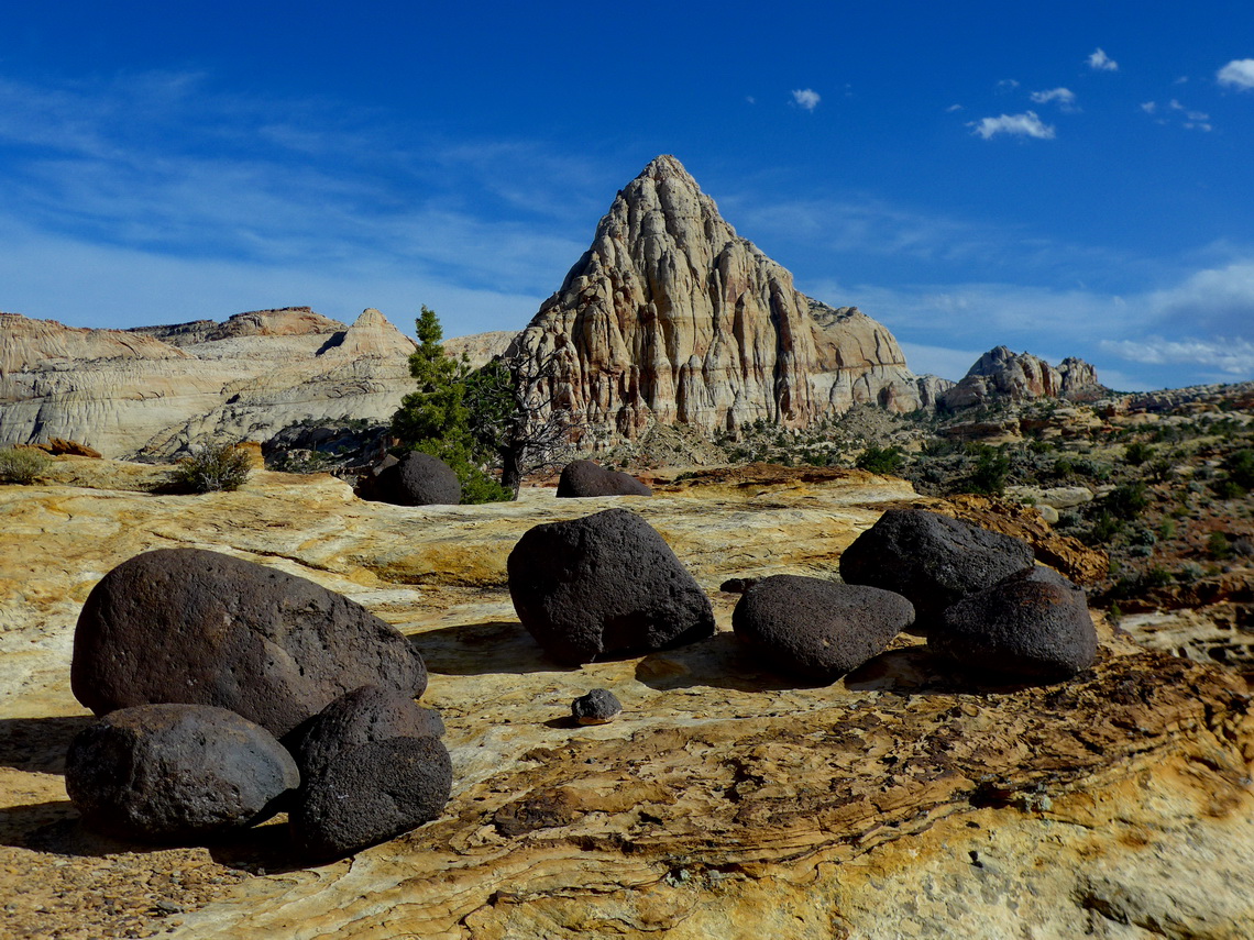
Pyramid with black lava stones in the Capitol Reef National Park


Capitol Reef's defining feature is a wrinkle in the Earth's crust extending more than 150 kilometers from Thousand Lake Mountain to Lake Powell. It is a classical one-sided fold with a formidable barrier in the east like a barrier reef in an ocean.

Read more …
Add new comment

Arches, Canyonlands and Mesa Verde National Parks

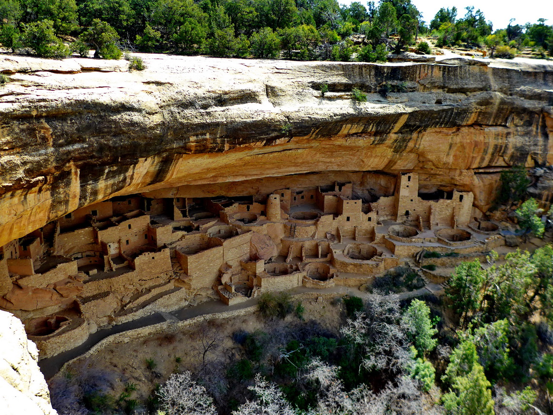
The Southwest has the highest density of National Parks within the United States of America. Arches and Canyonlands are wonderful natural treasures in Utah. Outstanding is the Mesa Verde National Park in the southwest corner of Colorado with its stunning cliff dwellings built by the Ancestral Pueblo People between AD 1150 and 1300. To our mind this World Heritage Site is in line with Machu Picchu in Peru and the Maya pyramids in Yucatan / Mexico.

Cliff Palace which is with 150 rooms and 23 kivas (round sunken rooms of ceremonial importance) the largest cliff dwelling in North America


There is a nice dry campsite on public BLM lands few hundreds meters outside of the National Park where we stayed free of charge three pleasant nights (GPS coordinates: N37° 21.569' W108° 25.371').

Read more …

New Mexico

The beautiful and pristine state New Mexico has a lot of different landscapes: Dry deserts and wilderness, lush valleys, and tall and snow-capped mountains.

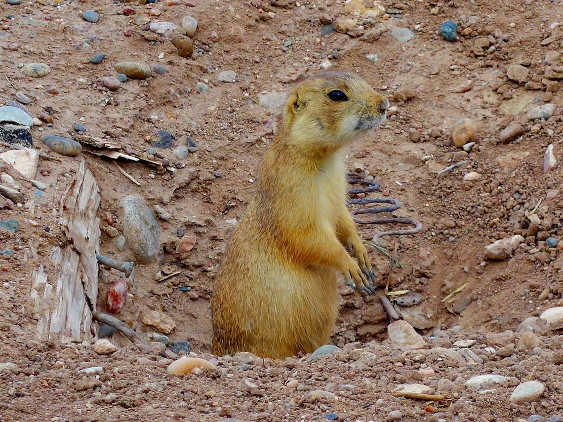
Prairie Dog  

And it is full of history. The first nuclear bomb was developed and tested in its southern deserts. New Mexico's capital Santa Fe was the hub of the railway in the late 19th and early 20th century which connected the East and West of USA. Most fascinating is the Indian art and culture of the indigenous people. The World Heritage Site Chaco is in line with southern touristic magnets of the Maya and Inca monuments. The Anasazi people built a lot of villages, cliff dwellings and cave houses mainly between 800AD and 1100AD.

Read more …
Add new comment

Texas Southwest

The 2nd largest state of the United States Texas is not famous for mountains but for its oil, cattle, prairies, pastures, deserts, nice beaches, heat and huge cities like Dallas or Houston. In is southwest corner we found some interesting peaks in the two National Parks Big Bend and Guadalupe.

On March 9th 2017 we crossed the border from Mexico to the busy town Del Rio without any issues. Our first stop was the supermarket Walmart because we were curious about fresh food which we could not take over the border. Jesus, the prices for food were shockingly high in comparison to Mexico or Germany. In the afternoon we hiked the Sunrise Trail from the Visitor Center of the Amistad National Recreation Area. The views to the Amistad Reservoir were excellent.

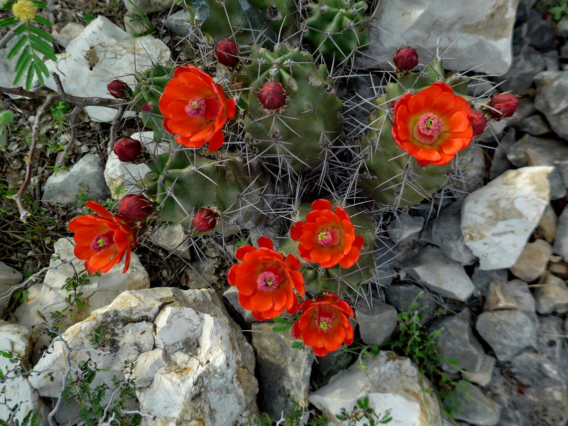
Blooming Cactuses

Read more …
Add new comment

Sierra Madre Oriental

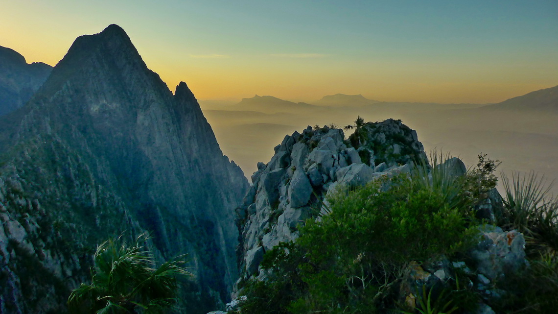
Majestic Sierra Madre Oriental stretches more than 1000 kilometers from the border with USA to northern Puebla in central Mexico. West of this range is the huge Chihuahua desert in its northern part, east are the Mexico's Gulf coast plains. Sierra Madre Oriental is famous for its rich biodiversity. Large pine-oak forests are found up to the highest mountains with more than 3700 meters sea-level. Limestone dominate its geology. Huge caves, sharp pinnacles and steep walls are common. Nearly in its center is the metropolis Monterrey, which is with more than 4.5 million inhabitants the third biggest city of Mexico.

Western view from 1482 meters high Cerro Toro, which is few kilometers northwest of Monterrey


Its tallest peak La Viga or Cerro San Raphael (3716 meters sea-level) is covered sometimes by snow in winter. It can be climbed up by a strenuous hike of 5 hours from the saddle east of the little village Los Lirios. We were very lucky because it started snowing when we returned to our car.

Read more …
1 comment

Barrancas del Cobre and Chihuahua

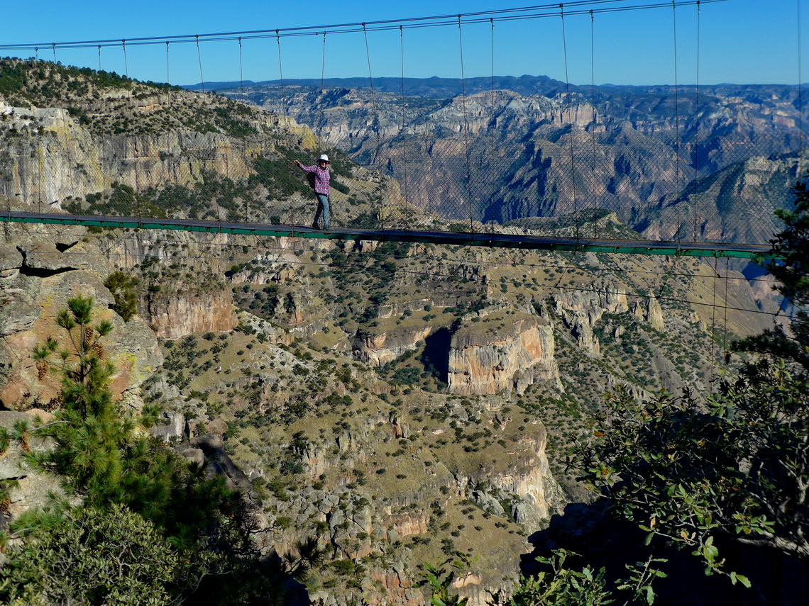
Magical Copper Canyon - Barrancas del Cobre in the majestic Sierra Madre Occidental is the major attraction in northern Mexico. It is a mazy system of seven major canyons with a depth up to 1,800 meters. Grand Canyon in Arizona / USA is four times smaller and less deep! In its area live the Tarahumara people which are famous for their running endurance: Some are capable to run few hundred kilometers and more than 20 hours without a break!

Marion on a suspension bridge with the main canyon in the background


There is no street through the whole main canyon but a railway with 37 bridges and 86 tunnels which connects Los Mochis on the Pacific Ocean with Chihuahua in the desert with the same name. The train is called El Chepe after the first characters of Chihuahua and Pacific. Driving with this train through Copper Canyon is a must to do for tourists in northern Mexico.

Read more …
1 comment

Central Pacific Coast

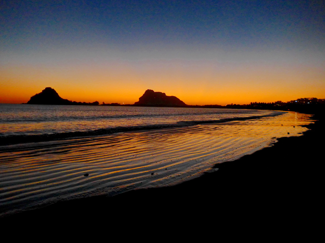
Mexico's Central Pacific Coast is a marvelous piece of nature with a lot of pristine beaches, calm bays, little fishing villages and some dramatic landscapes. Mazatlán and Puerto Vallarta are the largest cities, both with fabulous beaches and many tourists.

After sunset on the southern beach of Mazatlán


200 kilometers East of Puerto Vallarta is Mexico's second biggest city Guadalajara with more than 5 millions inhabitants. It is a bustling metropolis with a picturesque old town in its nice center.

Read more …
Add new comment

Zapotepetl - Nevado de Colima and the state of Michoacán

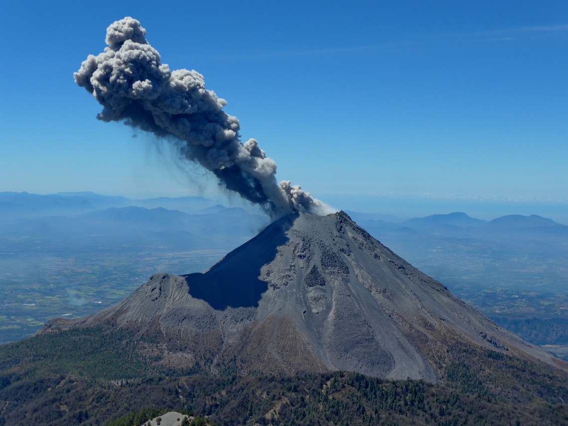
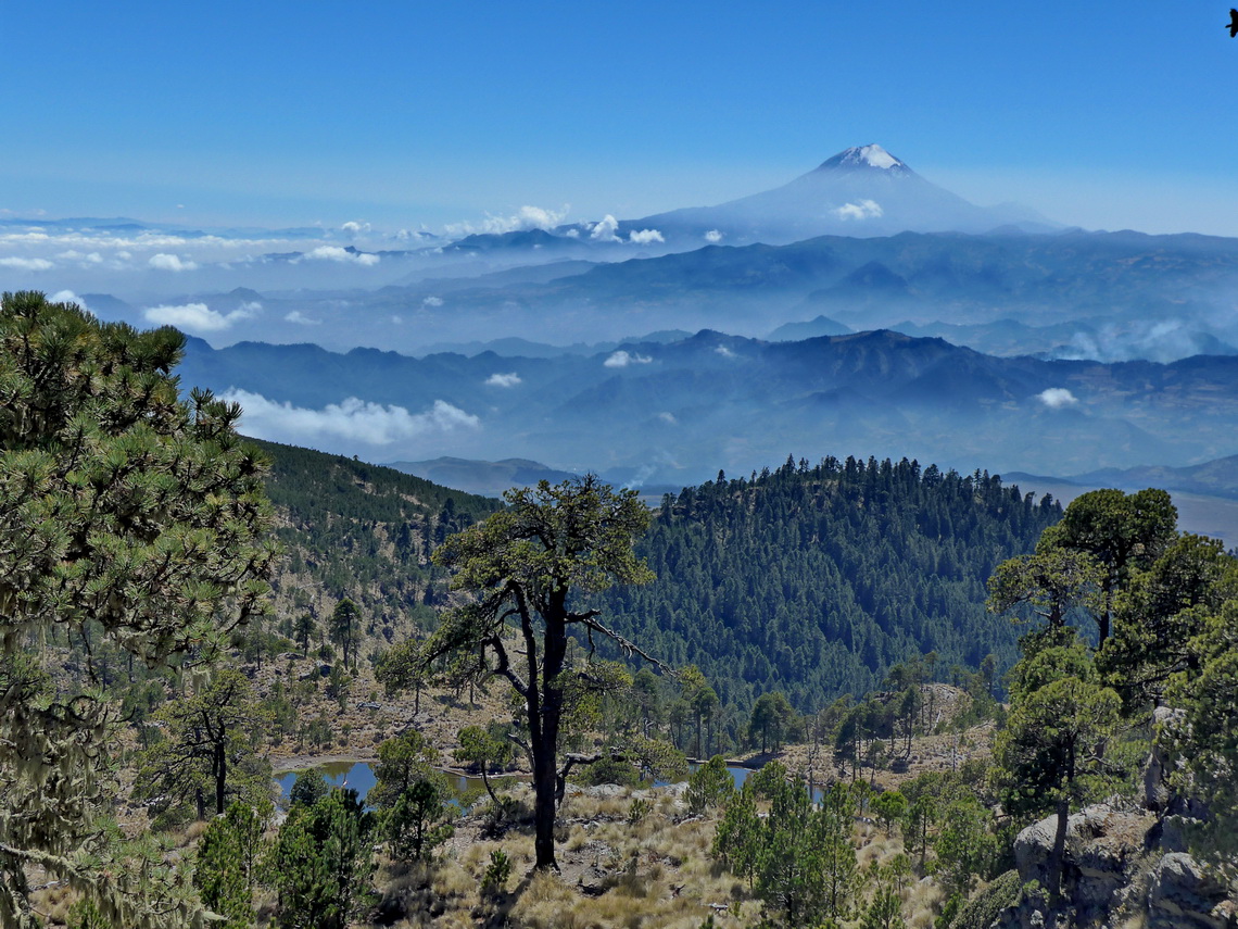
In central western Mexico is its most active volcano located: Volcan de Colima erupts several times every day. At the moment access to its top is more than life-threatening but its bigger brother, the more than 400 meters higher summit of Zapotepetl or Nevado de Colima (4268 meters sea-level) can be climbed with some easy rock scrambling. It is less than 6 kilometers away and it provides stunning views of the volcano.

Erupting Volcan de Colima


Before we came to Nevado de Colima we traversed the beautiful state Michoacán. We spent a weekend in the fabulous hot springs Balneario Erendira in its eastern part. A nice campsite is included in the hot springs (GPS coordinates: N19° 45.427' W100° 41.482'). Many younger Mexicans were with us - never ending party on Saturday night!

Read more …
1 comment

Xinantecatl - Nevado de Toluca

The large stratovolcano Xinantecatl or Nevado de Toluca is with 4680 meters sea-level the 4th tallest summit of Mexico and the 17th highest point of North America. It has an enormous caldera of 1.5 kilometer diameter which is adorned with two mystic lakes - Lago de la Luna (moon lake) and Lago del Sol (sun lake). A decent dirt road leads up to 4150 meters sea-level close to the caldera, where we camped one night.

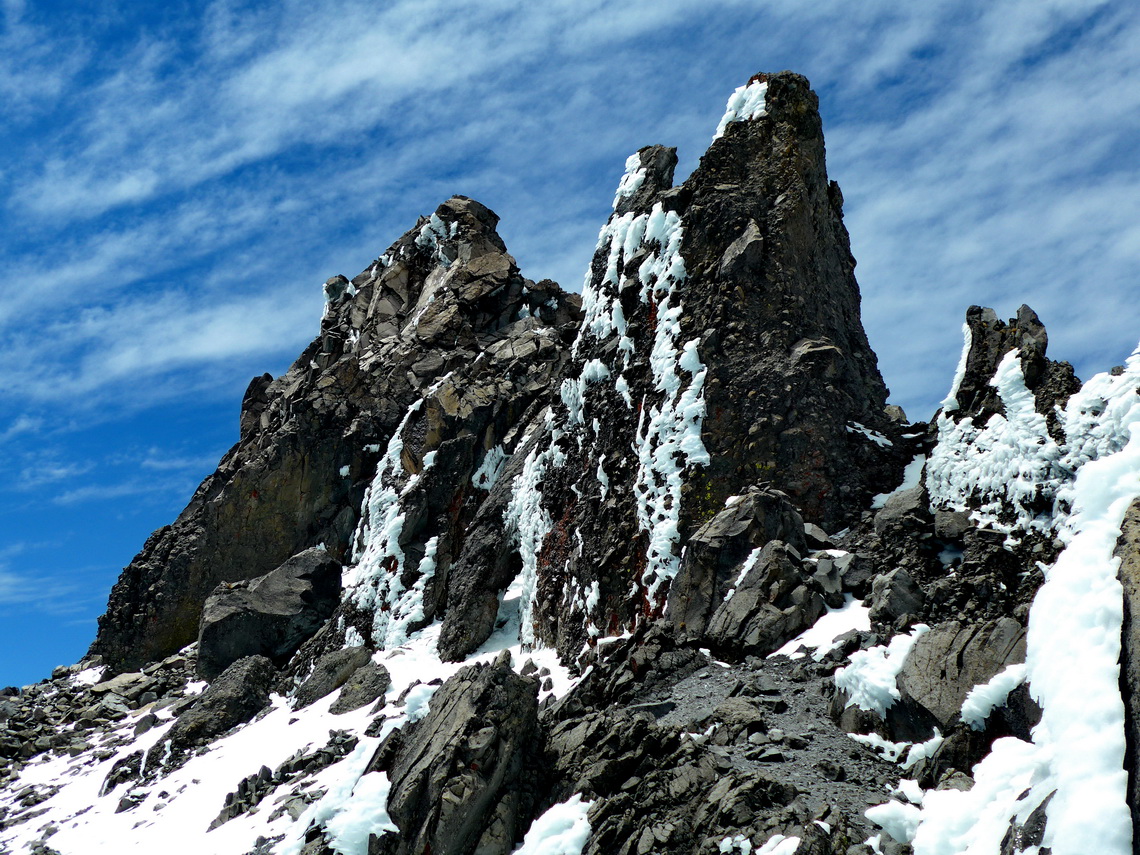
Xinantecatl is more a mountain range than a single volcanic cone with several peaks which exceed the 4300 meters mark. Its highest summit, Pico del Fraile is a little bit tricky from the caldera, especially if there is some snow and ice.

Pico del Fraile on the left - the route to its top circles it on the very left


When we were in its base town Toluca it was rainy and stormy. Even some snowflakes came down to the 2600 meters high town which is not quite often the case. Sadly the extraordinary hefty winter gale killed some people because some scaffolds and bigger advertisement billboards crashed. But Toluca had a very nice surprise for us.

Read more …
2 comments

Mexico Central - East

The marvelous landscape East of Mexico City is peppered with dramatic and rugged peaks including the three highest summits of Mexico, lush and dense rain forest, arid deserts, beautiful beaches, gorgeous colonial cities, and some industrial hubs like Puebla with its automotive plants.

Citlaltepetl (Pico de Orizaba) which is the highest peak between Colombia and Alaska


We had been in this wonderful country 20 years ago. At that time we had climbed up the volcanoes of Citlaltepetl (5610 meters sea-level) and Iztaccihuatl which are the tallest and third highest mountains of Mexico. In between is Popocatepetl which had been our dream for more than 20 years. But it had been and is still so active that an ascent is life-threatening. Also we had visited the nice cities of Veracruz and Puebla. Thus we concentrated this time on other highlights in this area.

Read more …
Add new comment

Oaxaca and Chiapas South

Mexico's beautiful southeastern state Oaxaca is very diversified: It has rugged mountains, spectacular pre-Columbian ruins, different indigenous people with various languages, rich flora and fauna, marvelous and deserted beaches on the Pacific ocean.

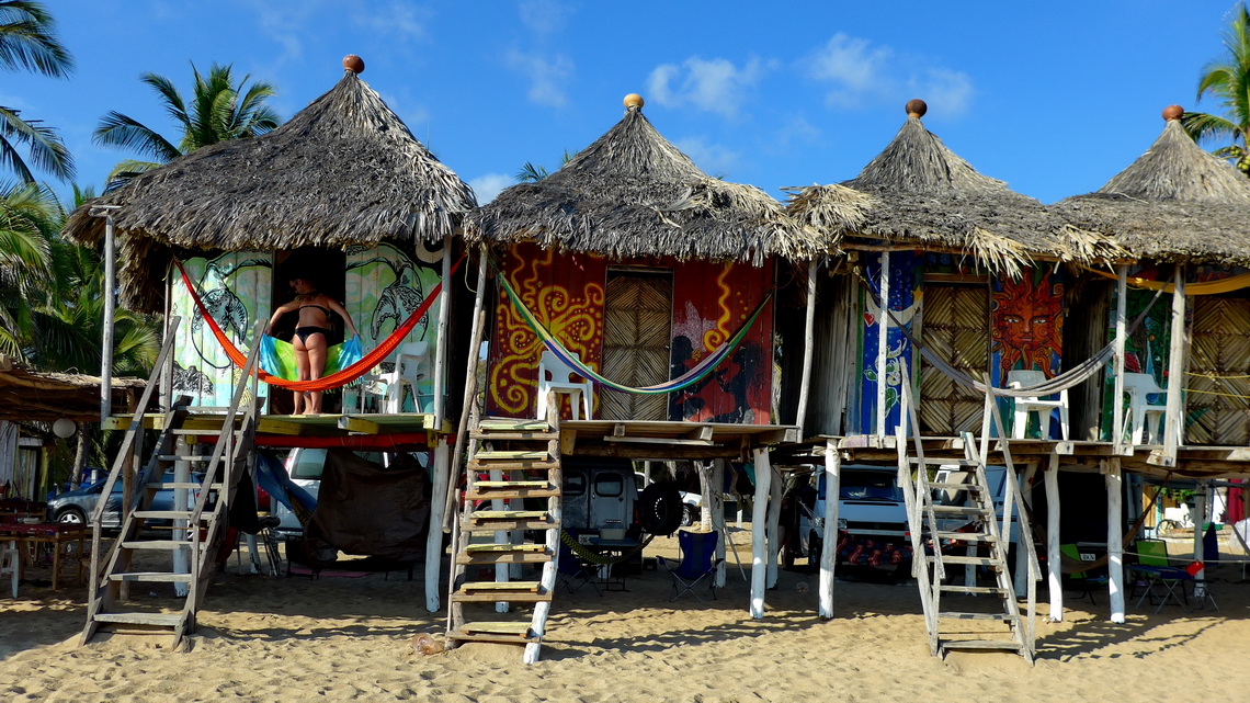
Our campsite La Habana in Zipolite directly on the beach in the shadows of some nice huts


Before we came to Oaxaca we crossed the southern part of Chiapas and climbed up its highest mountain, Volcan Tacaná (4093 meters sea-level) which is located directly on the border between Mexico and Guatemala. Our arrival in Chiapas was weird, again (see article Chiapas Central and East). This time we had no issues with the Mexican customs.

Read more …
Add new comment

More Articles …

  1. Yucatan
  2. Chiapas Central and East

Mexico Article Count: 9

United States Article Count: 13

Canada Article Count: 5

Page 1 of 2
  • Start
  • Prev
  • 1
  • 2
  • Next
  • End
Copyright © 2025 Marion and Alfred. All Rights Reserved. Designed by JoomlArt.com. Joomla! is Free Software released under the GNU General Public License.
Bootstrap is a front-end framework of Twitter, Inc. Code licensed under MIT License. Font Awesome font licensed under SIL OFL 1.1.
Powered by T3 Framework