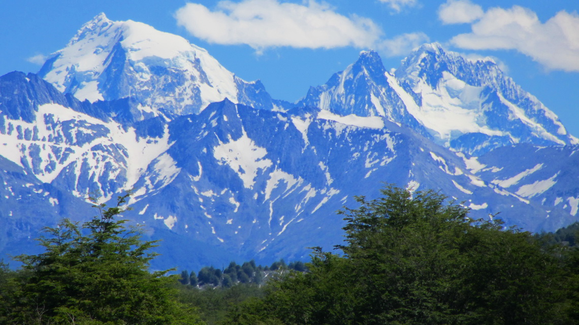
There are two bigger cities in the Argentine part of Tierra del Fuego: Rio Grande and Ushuaia. The first one is a military base and famous for sport fishing. The latter one is the perfect synthesis of sea, ice and mountains. Ushuaia is situated on the Beagle Channel with huge, steep and glaciated pinnacles in its background. The natural Beagle Channel connects the Atlantic with the Pacific Ocean. It was discovered by Charles Darwin's expedition in the 19th century and named after the used vessel.
But Ushuaia has more superlatives: It is the main gateway to the Antarctic, 90% of the visitors start from here. It is the southernmost city of the world if you consider the Chilean Puerto Williams as a village (60,000 inhabitants versus 2,500). It is literally the end of the world. It has the most southern ski resort, starting more or less at sea level. It is the main touristic destination of Tierra del Fuego and consequently a little crowded in its seasons.
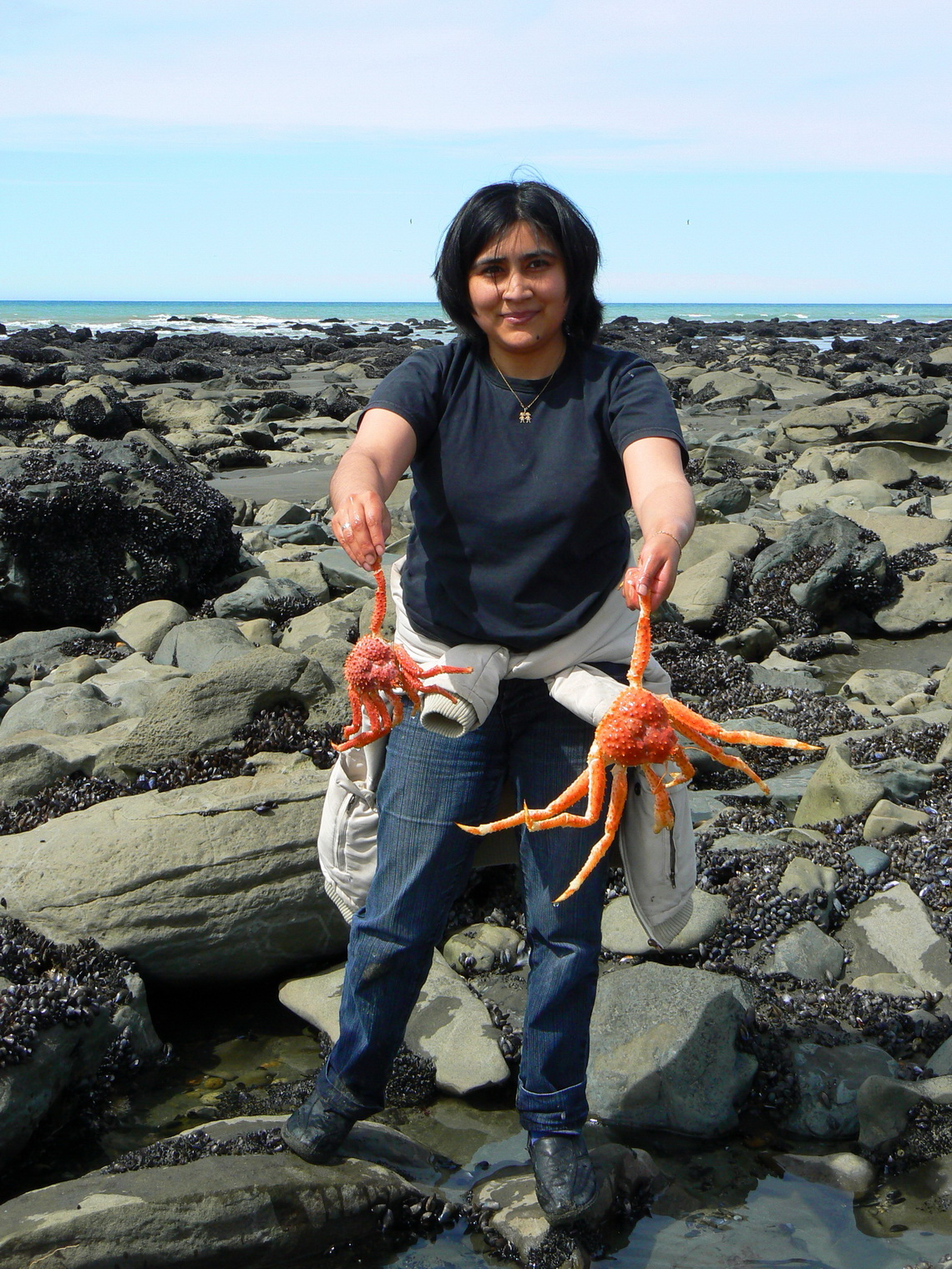
On the way to Rio Grande we made a rest on the shore of the Atlantic Ocean and strolled a little bit on its beach. Several other people were looking for sea food. Suddenly Marion detected something red under the rocks in the water - two very big sea spiders. She called two girls and they were very exited and happy!
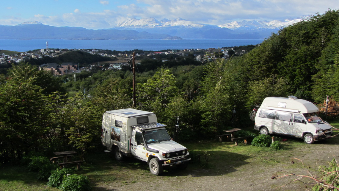
La Pista del Andino is probably the nicest campground in Ushuaia which provides marvelous views to the city, the Beagle Channel and the mountains opposite of it (GPS coordinates: S54° 48.764' W68° 21.036').
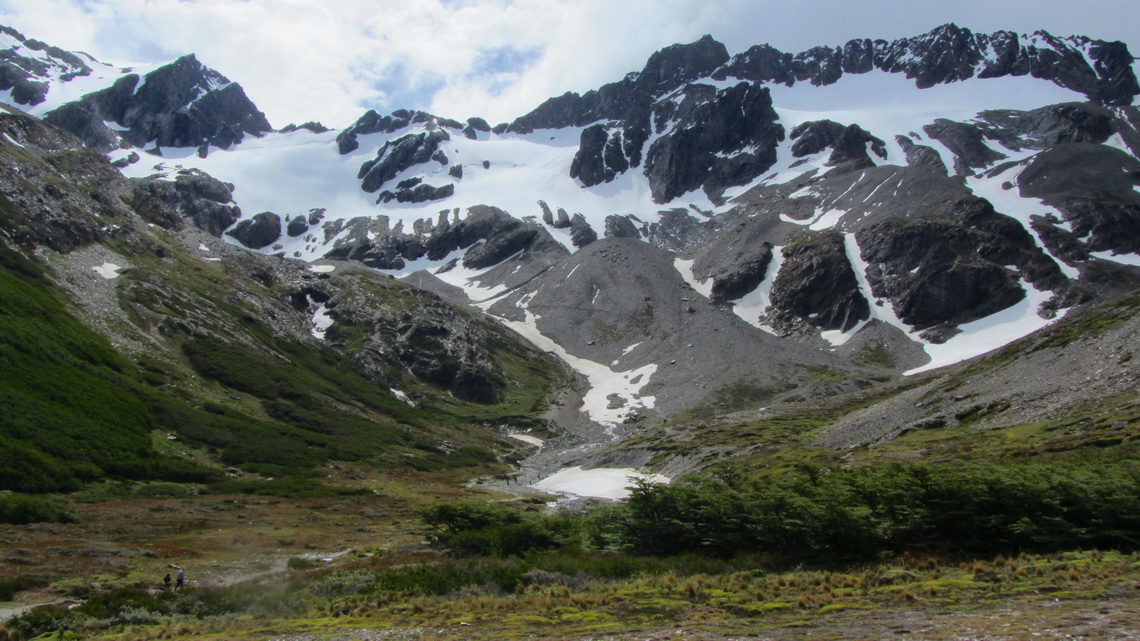
Just behind the reception one of the trails to the Glaciar Martial starts. We exceeded this hike to 1150 meters high Canadon Negro (GPS coordinates: S54° 46.712' W68° 23.961'), a shoulder East of Mount Martial. It is a perfect walk for one day if the weather permits it. Our track is included in the GPS coordinates file of Argentina.
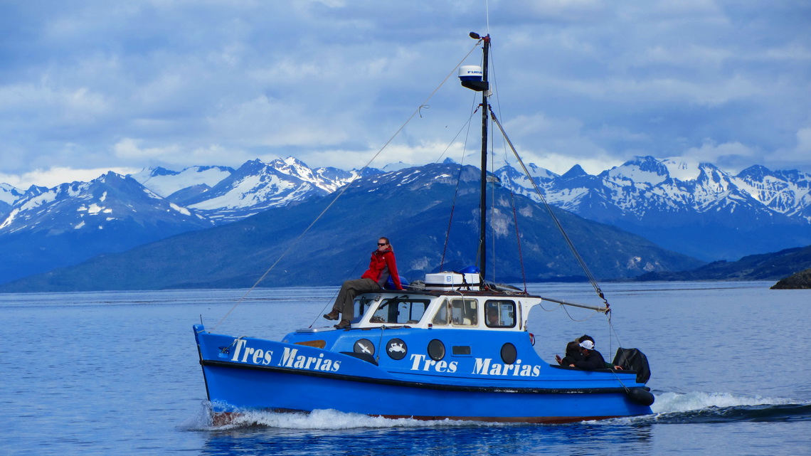
On the next day we had our odyssey with the spare wheel of our car, see article Tierra del Fuego - Chile. But we had the idea to sail on the Beagle Channel, because the weather forecast was fine. When we booked this trip the Sales Lady from our agency Tres Marias remarked that it might be switched from the morning to the afternoon or to the next day if the wind is to strong. This area is one of most stormy corners on earth.
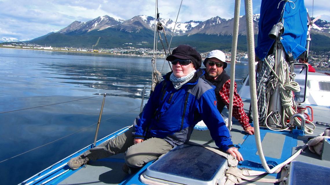
Unbelievable, there was no wind when we cruised out of the port. And there was no breeze when we returned. The sailing ship had to use its engine instead of the sails. What a flop!
But we enjoyed deeply this trip on a sunny and warm day. Only one other Lady was with us besides the captain and our guide. But there was another boat without sails with us and we met there by coincidence two girls from Freising. Andrea had grown up very close to Grasweg 10 in Mintraching, our current home address, where Alfred had spent most of his childhood and he had enjoyed the school in Freising. Sometimes the world is very small!
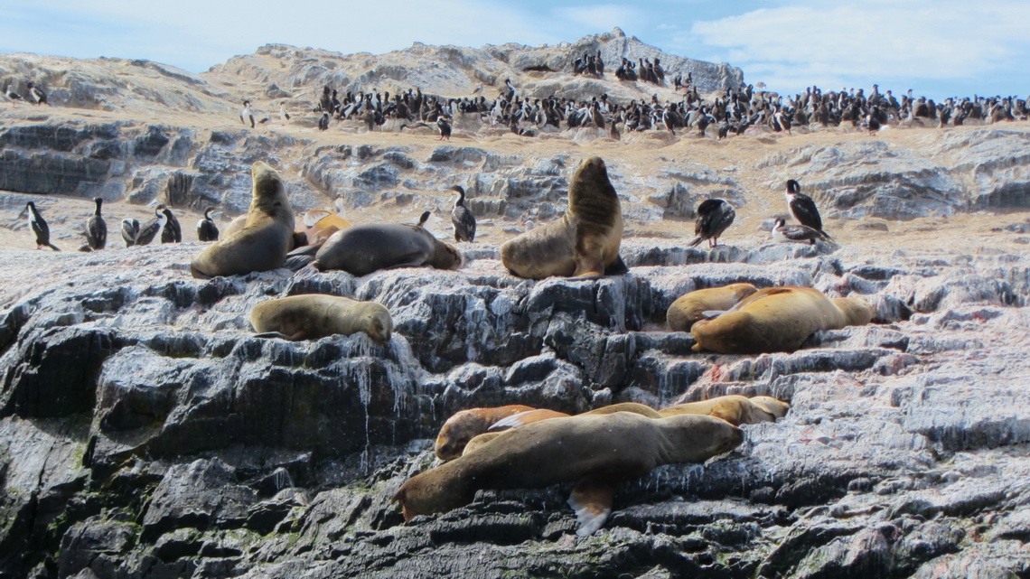
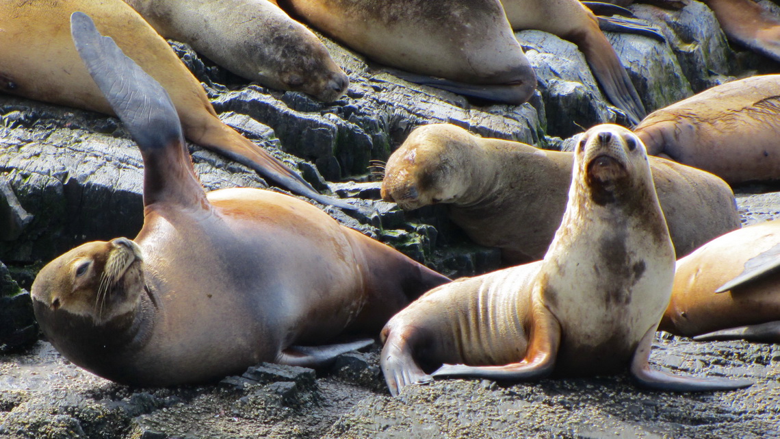
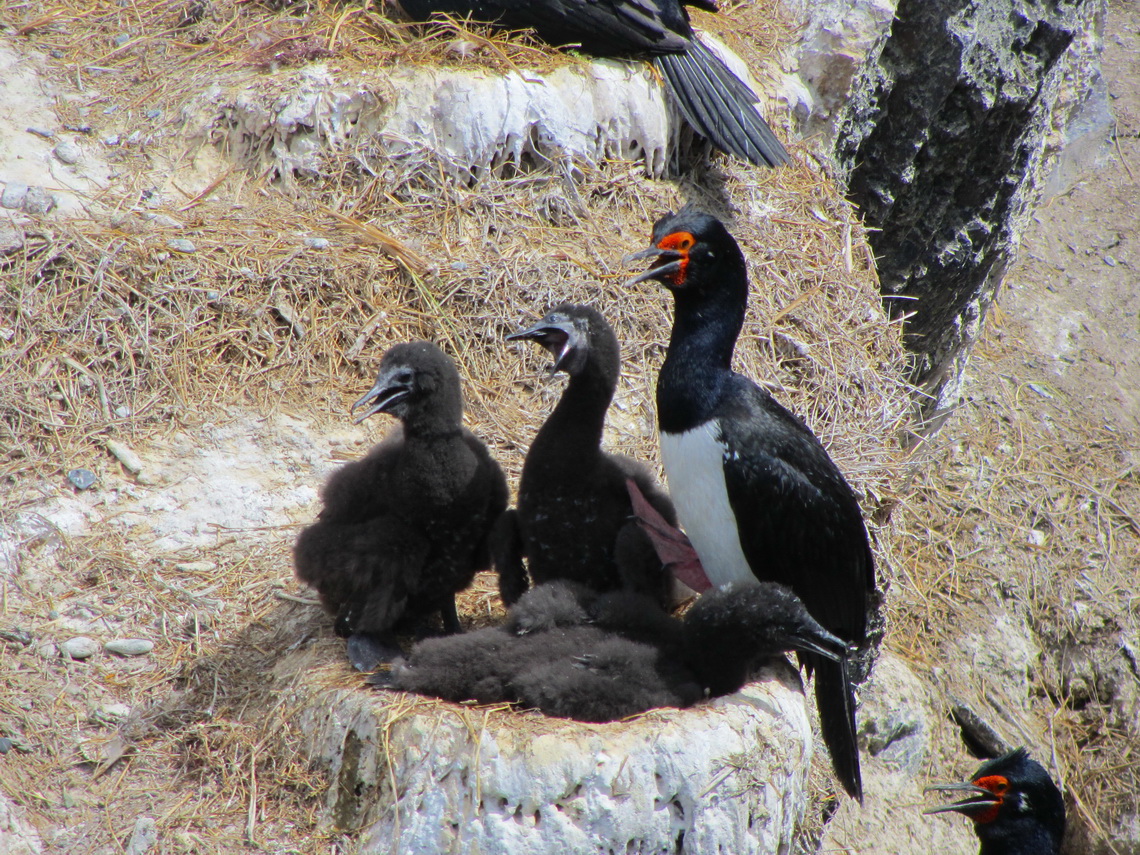
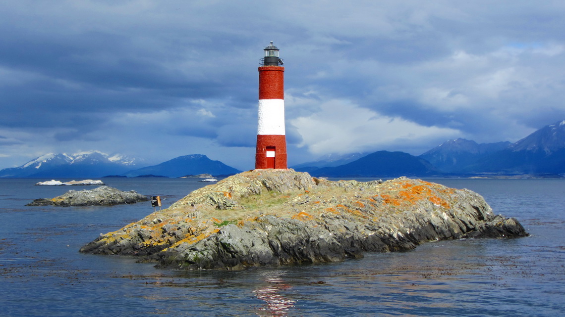
Our sailing ship passed with the help of its engine a small island with some Sea Lions and many Cormorants.
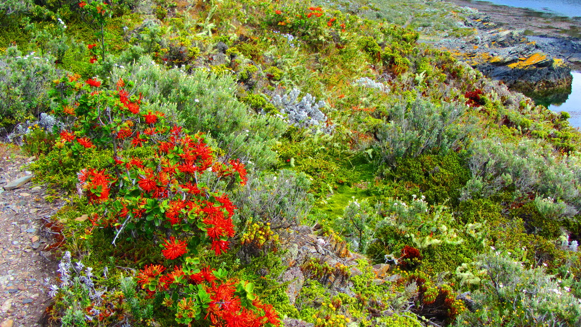
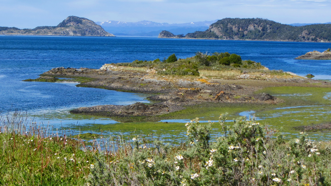
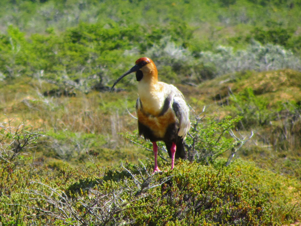
Next we hiked on hour on the H-island with its beautiful vegetation and abundant bird life. Only clients of Tres Marias come to this place. Our guide watched carefully our steps not to damage any nature.
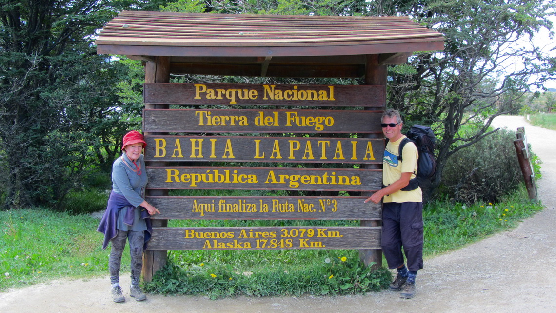
West of Ushuaia is the National Park Tierra del Fuego. Here is the end of the Argentine National Street RN3 which is the only paved route (not 100%) along the coast of the Atlantic Ocean to Tierra del Fuego.
This fine National Park provides the good campsite Lago Roca (GPS coordinates: S54° 49.818' W68° 33.779') and splendid hikes along its coasts and to some viewpoints including the ascent to the 973 meters high mountain Cerro Guanaco (GPS coordinates: S54° 49.040' W68° 30.625'). Our track to Cerro Guanaco is included in the GPS coordinates file of Argentina.
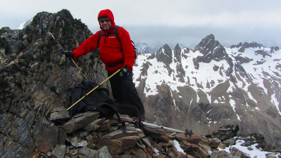
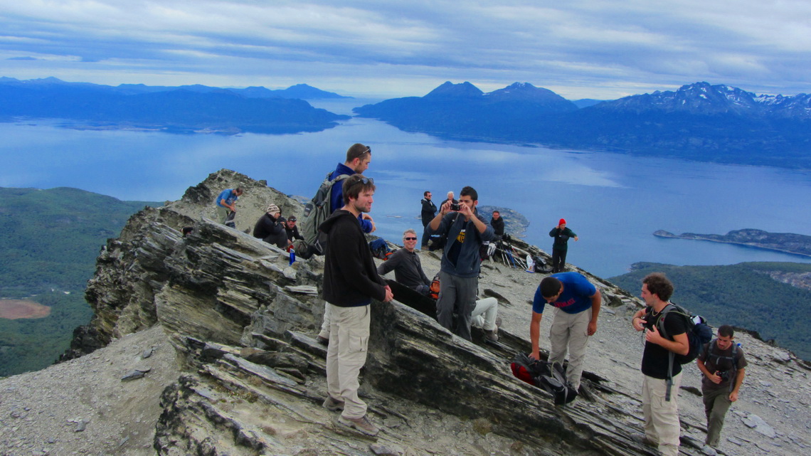
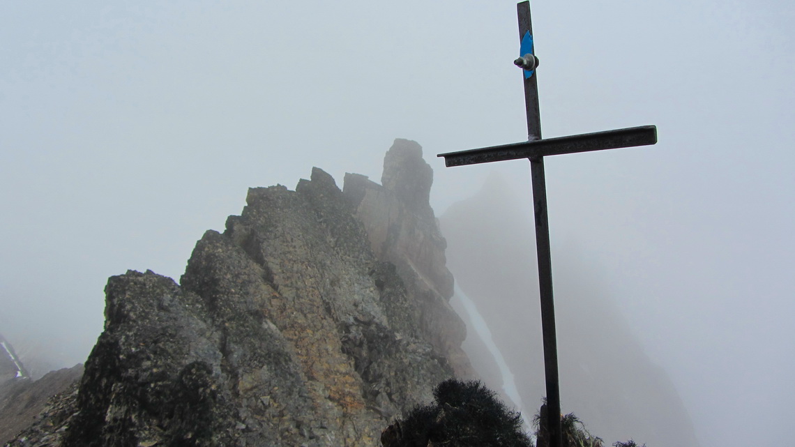
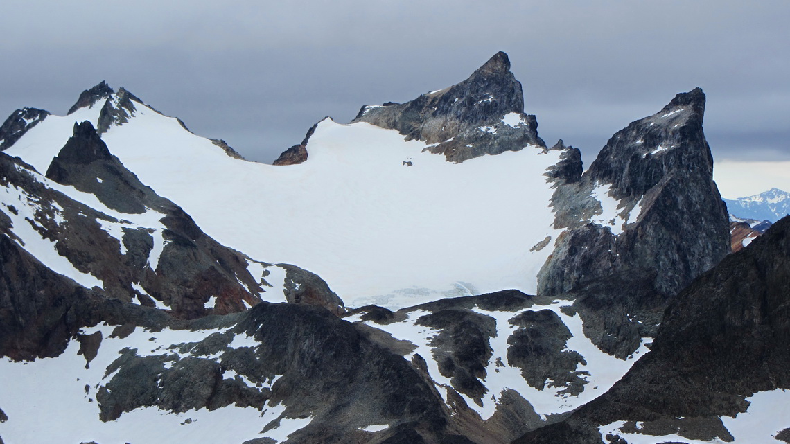
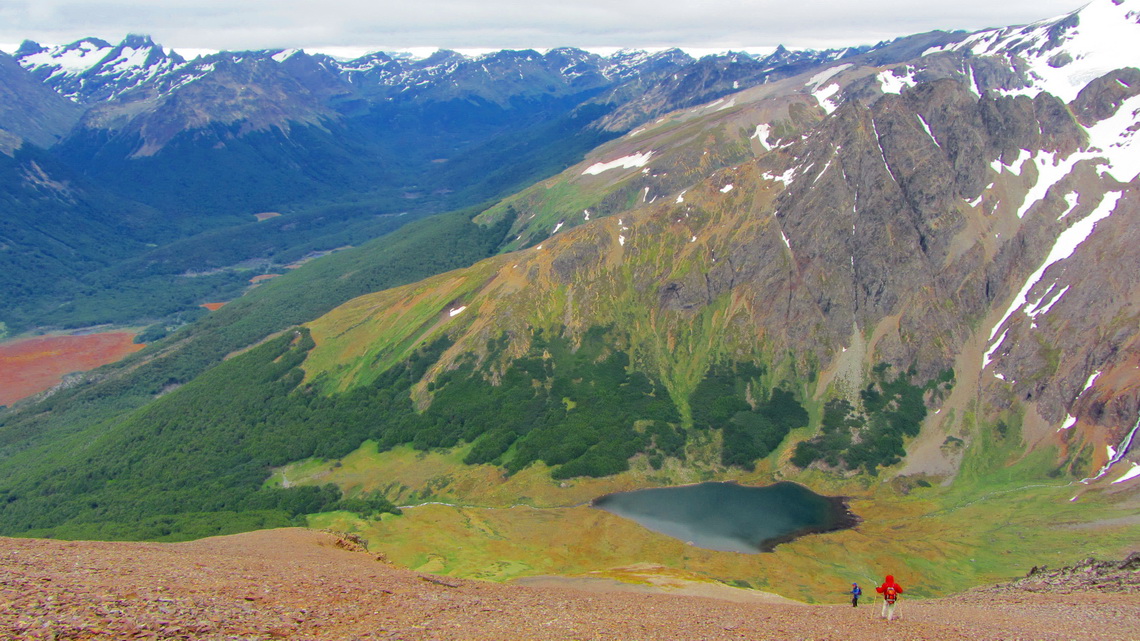
After a rest day we headed into the Valle de Andorra to climb Cerro Esfinge, which is with 1275 meters relatively high for the mountains surrounding Ushuaia (GPS coordinates start of our hike: S54° 45.865' W68° 18.075'; summit: S54° 44.455' W68° 17.263'). Contrary to Cerro Guanaco we were totally alone in a pristine environment. First we hiked to the marvelous Laguna Encantada - The charming lake (GPS coordinates: S54° 44.268' W68° 18.728'). A rocky, strenuous and endless slope continued to the summit ridge. Unfortunately its top was a little bit cloudy. Our track is partially included in the GPS coordinates file of Argentina.
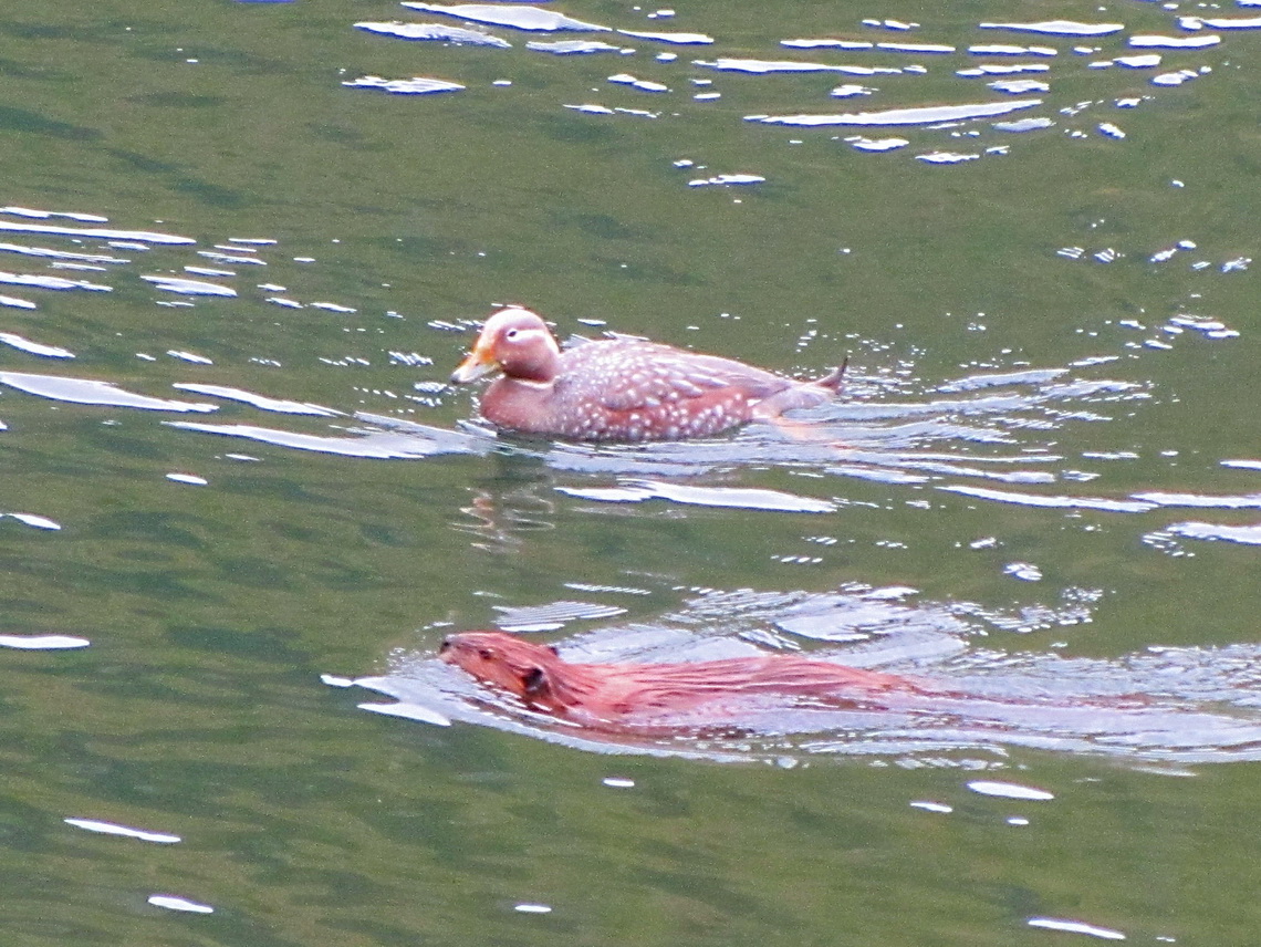
We confirm the beauty and magic of the Charming Lake, because its shore were covered by pretty flowers in full blossom. The austral summer was coming!
And there was also some action in the lake. We watched astonished more than half an hour.
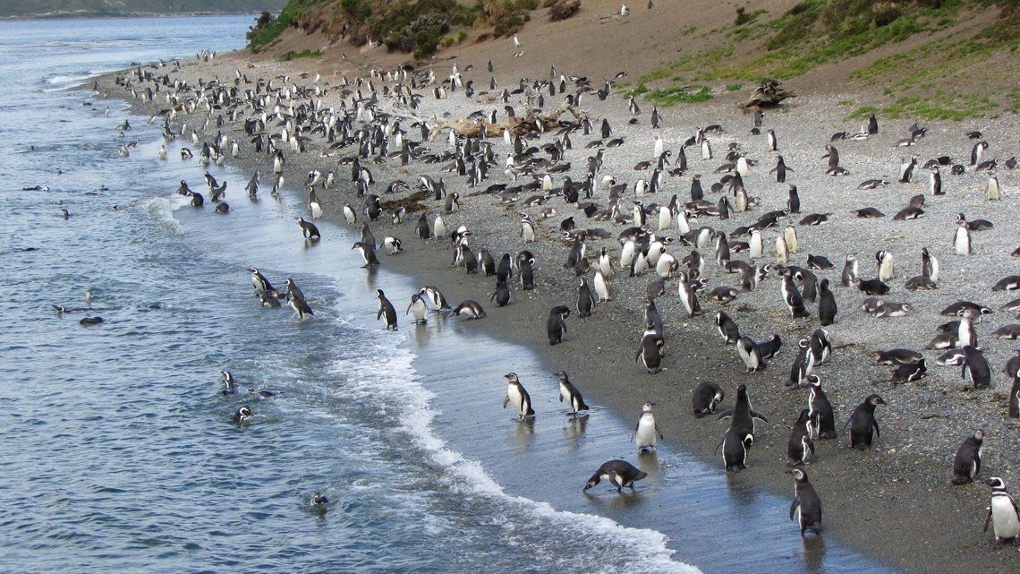
Other people recommended us the catamaran trip to Estancia Haberton, which is 80km East of Ushuaia. Indeed this was a nice trip, too besides the fact that we had a good wind but no sail.
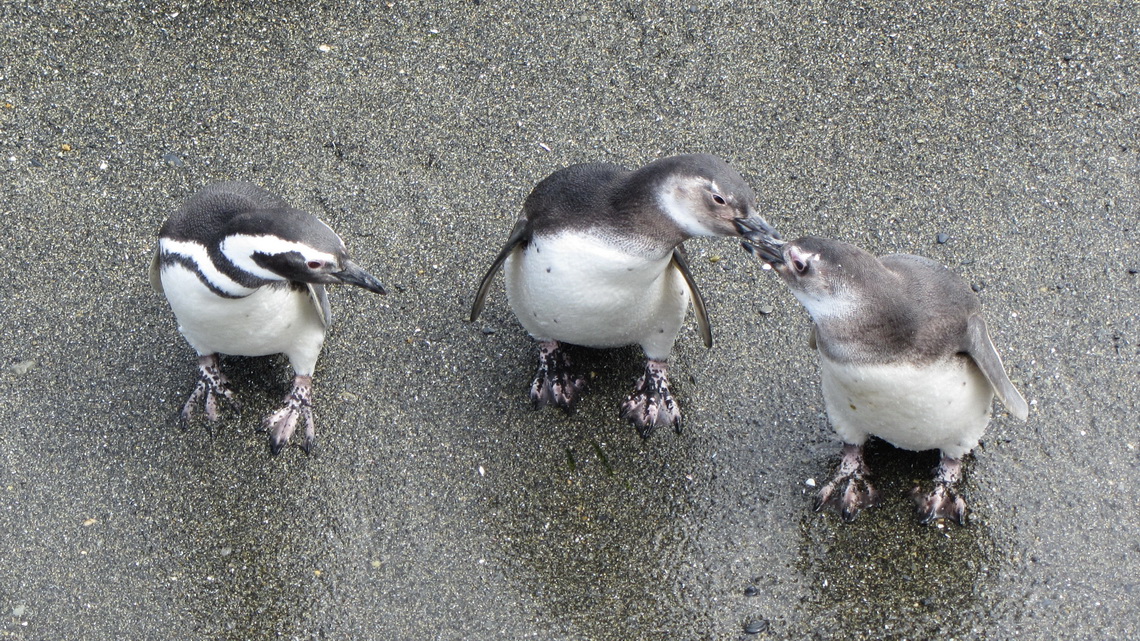
But there was one alien with a red beak and orange feet in the colony.
Estancia Haberton gave up the sheep's wool business few years ago due to too low prices in the market. Instead they focus on tourism and show how they worked in the past. It was the first building and farm - Estancia in Tierra del Fuego, founded in the year 1886 by missionary Thomas Bridges who worked with the native tribe Yamana.
He and his son wrote their tales and a dictionary of their language. The Yamana lived mainly in their canoes and were hunting for sea food. Because of the very often rain they were usually totally naked - clothes were not handy and did not dry in the bitter coldness. They used just some animal grease for protection. It is a very sad story, because the Yamana disappeared completely due to the negative influence of the White Man like diseases or even hunting. There is a touching museum in Ushuaia about their life and the other tribes of Tierra del Fuego.
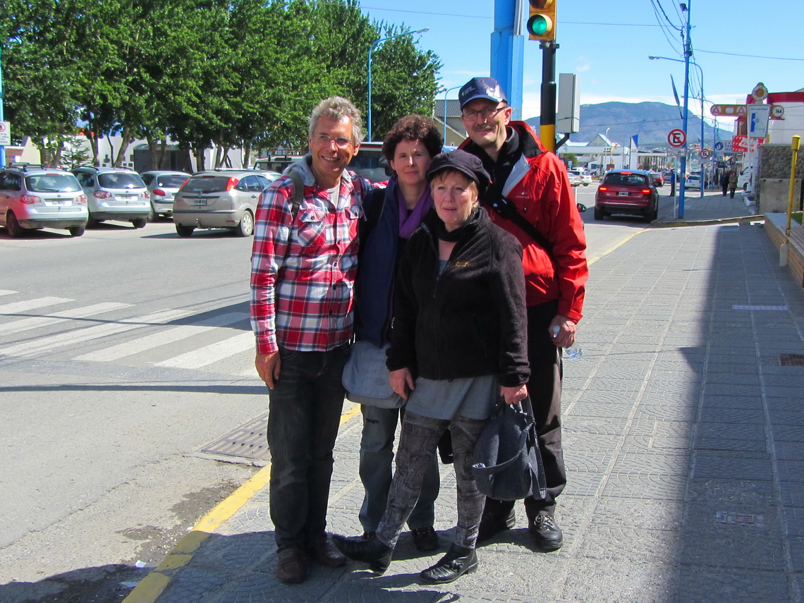
On our last day in Ushuaia, December 19th 2011, we had an excellent lunch with our friends Jutta and Johannes from Landsberg / Lech, Bavaria on their way to Antartica. Of course we tried Cebollas and they taste wonderful!
For more pictures, please click here For a map of our itineraries, click here
To download the GPS file of Argentina, click here









Meine Augen-OP habe ich gut überstanden.
Ende Februar bin ich auch wieder da.
Es grüsst Rosmary