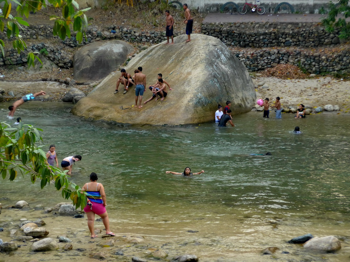
Honduras is the bad guy not only of Central America. It has one the highest homicide rate of our world. Its second largest city, San Pedro Sula was awarded as the most dangerous town on earth in the year 2012. But we found a marvelous country covered with a lot of lush rain forests where unbelievable steep pinnacles meet the sky. Its Caribbean coast has outstanding beaches, pristine islands and extensive sea life. We felt more than welcomed by its gentle and friendly people. Generally life is somehow archaic and difficult in this hot and humid country but most Honduran show an incredible zest for life.
Due to its bad reputation we were happy that we met Frank again on the Nicaraguan / Honduran border and that we were going to travel together through this wonderful and extraordinary interesting country.
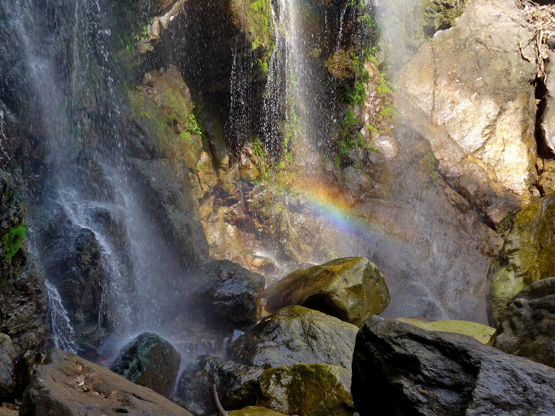
From the border town Los Manos we headed directly into the national park La Tigra, which is located few kilometers northeast of Tegucigalpa, the capital and biggest city of Honduras. Close to the weekend destination village Valle de Angeles we stayed a convenient and calm night on a football place in front of a house (GPS coordinates: N14° 10.256' W87° 02.899'). Its inhabitants were very friendly and watched our cars when we hiked few kilometers to a beautiful waterfall the valley upwards.
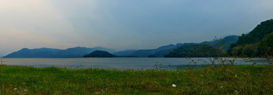
Tegucigalpa has no special touristic highlights. Thus we circled it on decent highways and continued to the lake Lago de Yojoa, which is a jewel in the western center of Honduras. After some shopping in the smaller town Comayagua Alfred did an U-turn on a traffic light and was stopped by Police afterwards. They told us that U-turns on traffic lights generally are not permitted in Honduras. We told them that we are the second day in their country and that we were not aware about this rule. They smiled and let us go with their best wishes. Few days earlier Alfred had been fined in Nicaragua for violating a solid but nearly invisible center line. Some discussions had dropped the penalty from 100U$ to 30U$, of course without receipt!
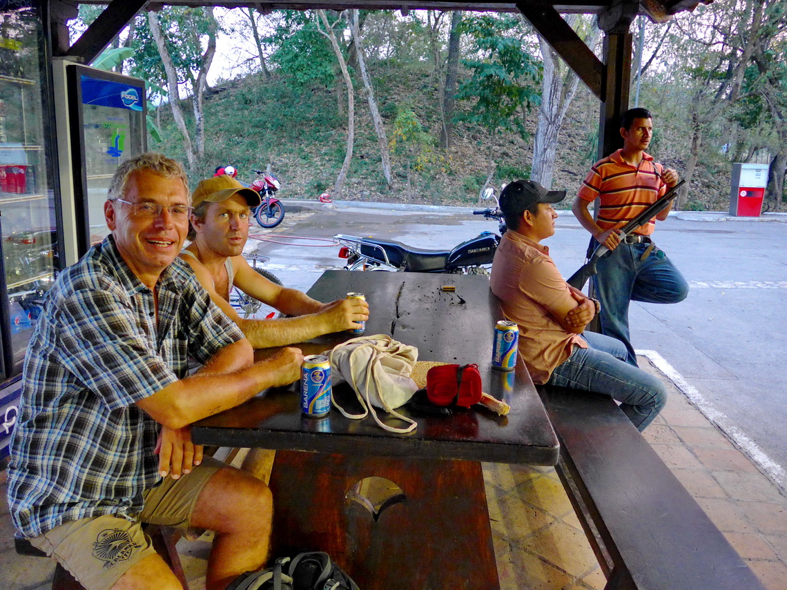
North of Comayagua the main street became very winding because we passed some huge mountains. We spent an interesting night on the PUMA gas station of Siguatepeque (GPS coordinates: N14° 35.094' W87° 50.845'). Behind the gas station was a little path, followed by a field surrounded by houses. Between the path and the gas station were tanks with inscription MUY PELIGROSO - very dangerous. After dinner some bushes in the field started burning. We informed the armed security officer and he told us: Don't worry - No problem. One hour later the little trees on the path and opposite the tanks were burning. We were deeply concerned and informed the security officer again. This time he phoned and told us that there some experts were controlling the fire. We saw nobody and consequently discussed to go away but we had drunken too much beer at dinner and driving at night is not such a good idea in Honduras. One hour later the whole field was burning but the fire did not exceed the path or moved to the nearby buildings. One hour later the fire calmed down and we were happy that the wind came from the opposite direction of the burnt field.
The D&D Brewery on the northern shore of Lago de Yojoa is a famous place for backpackers and camper (GPS coordinates: N14° 56.795' W88° 02.293'). In addition they serve various kinds of self brewed beer - very tasty. We spent two nights there and explored its rural but stunning environment.
On our way to the Caribbean coast we had a busy night on a PUMA gas station again (GPS coordinates: N15° 24.896' W87° 48.109'). This time in El Progreso, one of the largest cities in Honduras. Firstly the armed guard told us some encouraging stories like his friend had been shot in nearby San Pedro Sula because his gun misfired. He pointed out that he had checked his gun intensively but he had to shift his working place every two to three nights because he had killed one of the gangsters which had murdered his companion and he was afraid for their revenge.
Secondly it turned out later that the restaurant in front of the gas station was a disco where weird boys and glittering girls with fancy and expensive cars were coming and going. Finally at 3:00AM we were able to sleep, also thanks to the weakening heat.
We spent the weekend in the medium-sized town Tula, one of the major holiday destination of Honduran people. There is a good camping ground in the Pelican Resort with access to endless and remote beaches of the Caribbean coast (GPS coordinates: N15° 46.866' W87° 29.028'). The most impressive business of Tela was the dancing of the local people in the little booth few meters opposite of the Pelican Resort. A lot of beer was consumed and the girls wobbled their butts with an unbelievable speed - true African blood! Suddenly at Saturday late night were a lot of shrieks because two girls were fighting roughly for a boy. One lost some of her hair before they were separated.
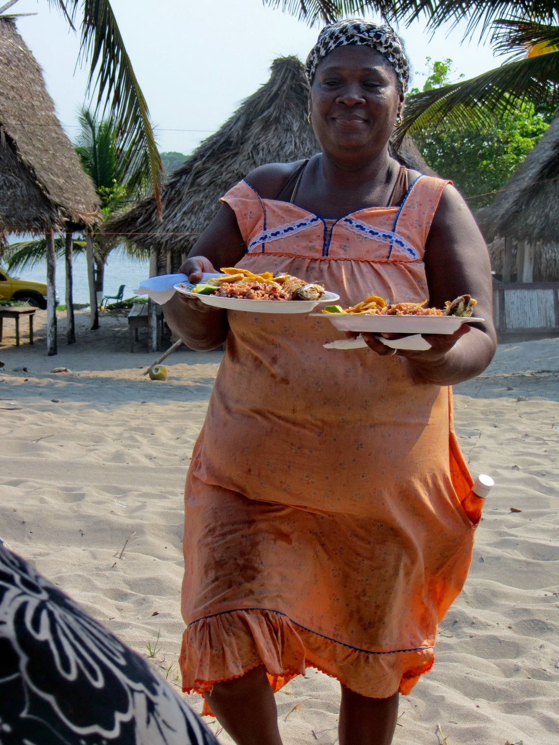
Saturday noon we walked nearly 15 kilometers on the beach to the tiny fishermen village Miama, where some Garifuna people are living. The Garifunas are the descendants of the African slaves. Most of the time we were totally alone on the beach but there is a huge and expensive holiday resort between Tula and Miami. There were a lot of heavily armed guards around the resort. Suddenly some helicopters flew to this resort. Few minutes later the helicopter traffic increased. Few minutes later it stopped abruptly. When we came to Miami a man told us that today was a meeting of the Presidents of Central America's Countries in this resort.
Some cars drove the bumpy and sandy road to Miami; thus we thought we could easily hitchhike back to Tela. Most of the people who had come to Miami were fishing in the shallow waters on the mouth of a lagoon. We went to the parking lot and waited, waited and waited. At 8:00PM we had some hope because two men were coming with their fishing equipment. They tried to open a high sophisticated four-wheel car without any success. The key was broken and they asked us for help. Another key should be in the car. Frank was able to lift the door lock knob with a wire and we hoped that we could drive back now. But they promised us that they were returning soon, around 2:00AM! Most of the other people intend to stay the whole night.
Again we waited but at 10:00PM two other man came. They were a little bit frustrated because they had caught not much fish. They thought it was a problem of the full moon - no fish to their experience! We were more than happy of the full moon and they gave us a lift to the next bigger village without any costs where we found a taxi to the Pelican resort.
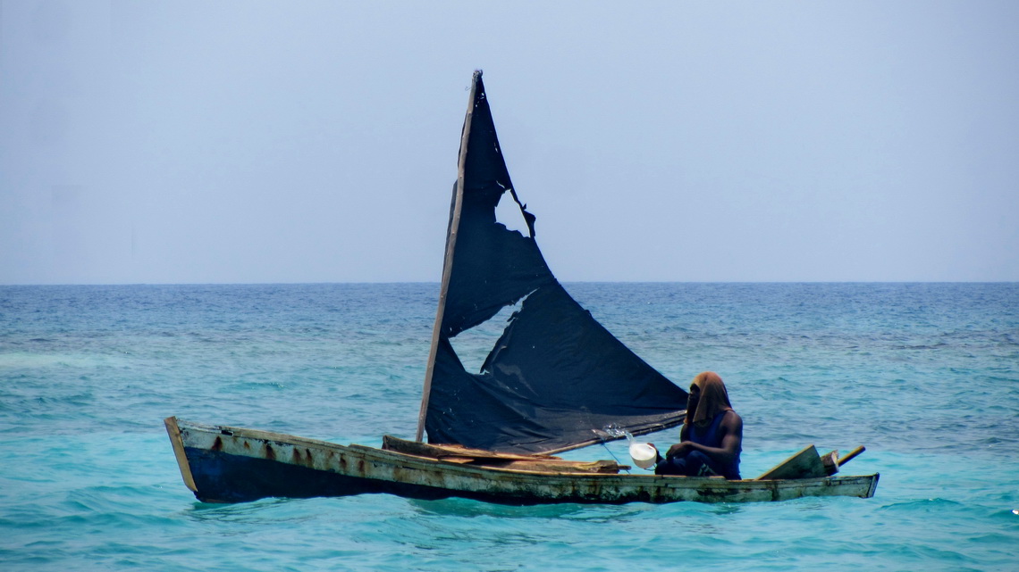
The Bay Islands are one of Honduras' top attractions with fascinating dive and snorkeling capabilities on the second largest coral reef on earth. We choose a day trip to the Cayos Cochinos (Hog Islands) which are protected by a national park. The easiest access is from the Garifuna village Sambo Creek few kilometers east of the largest city on the Caribbean coast, La Ceiba. In Sambo Creek we stayed three days in the reasonable parking lot of Helen's hotel which is driven by French Canadians (GPS coordinates: N15° 47.762' W86° 37.279'). Coming from the West we had some trouble to find the turning on the main street Ca-13 (GPS coordinates: N15° 47.297' W86° 37.461').
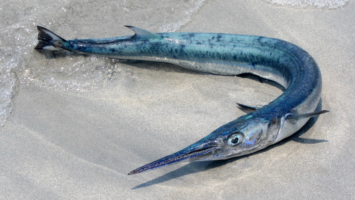
There were just two other tourists with us in the small boat to the Cayos Cochinos islands. We snorkeled in the crystal-clear water in front of the second largest island Cayo Pequeño. Purple was the dominating color under water: Purple corals, purple fan-like plants and some purple fish!
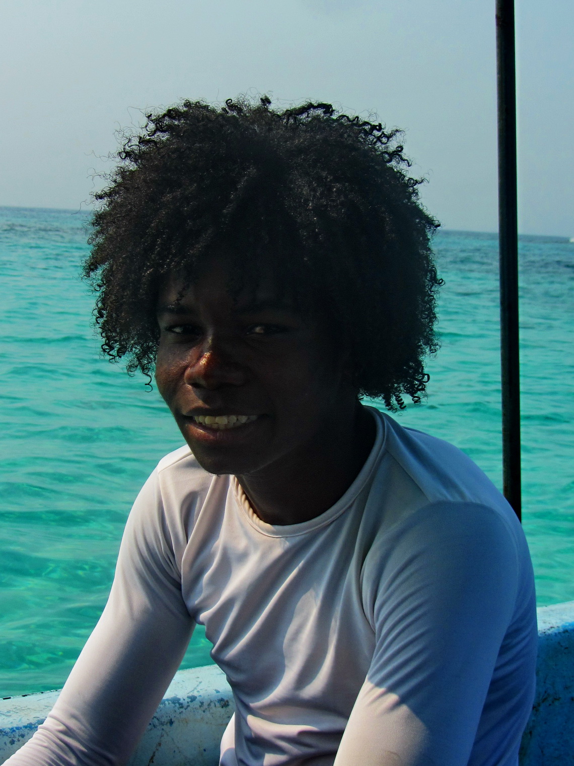
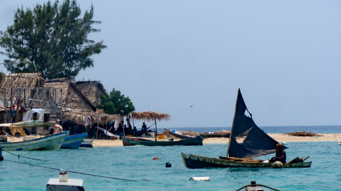
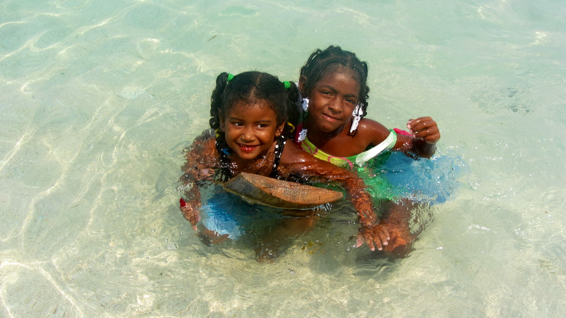
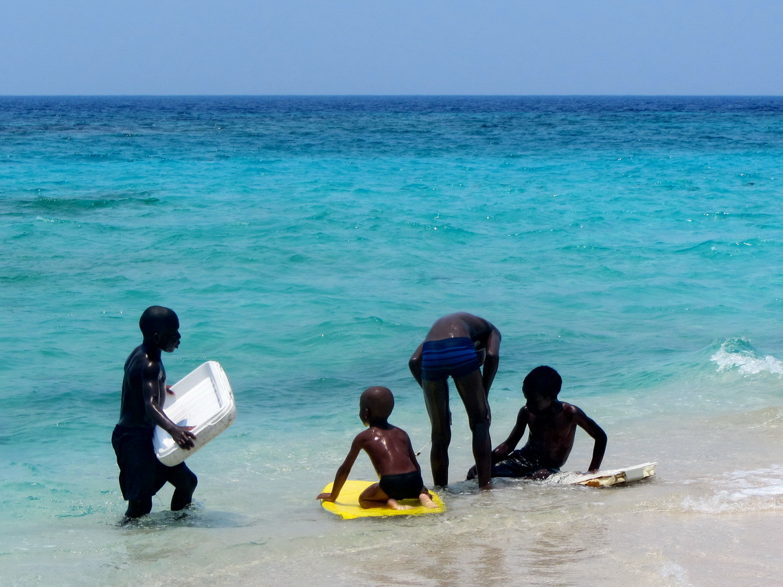
Most inhabitants of the Cayos Cochinos live on the tiny island Chachahuate, which we circled by foot in less than 10 minutes. Powerful Garifuna kids were playing on its splendid beaches with turquoise water and they were eager to pose for pictures. Also snorkeling was superb in Chachahuate. Very impressive and a little bit scary were countless urchins with extreme long needles of about half a meter.
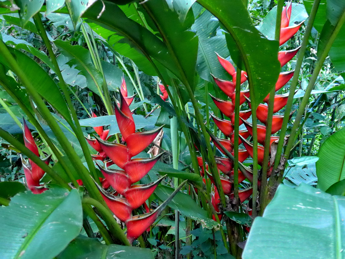
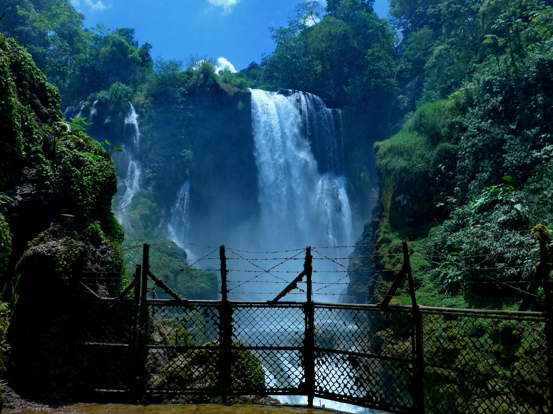
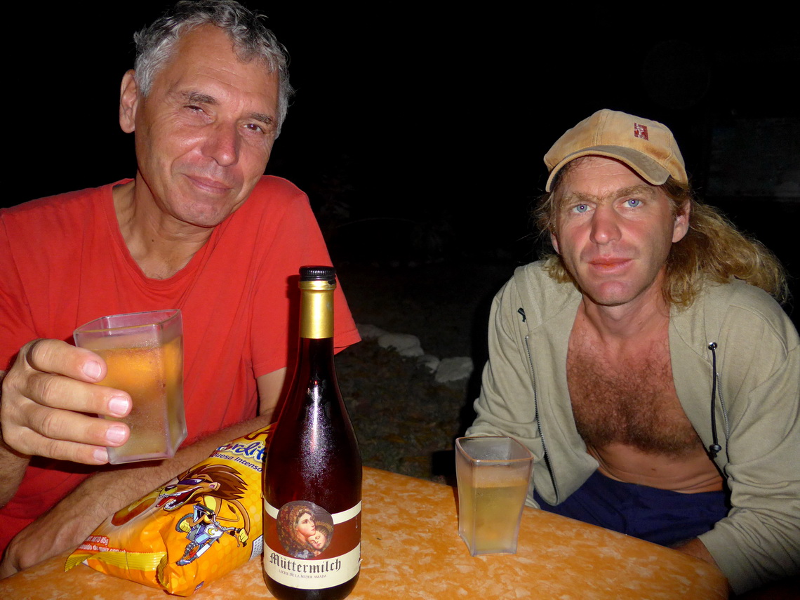
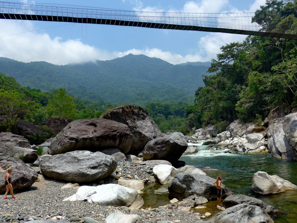
Another highlight in the region of La Ceiba is the river Rio Cangrejal which is flowing down the steep pinnacles of the park Parque Nacional Pico Bonito. It is famous for rafting in crystal-clear water and hiking in the lush rain forest. We stayed the night in front of its visitor center and payed just the fee for the amazing hiking trail to the 60 meters high waterfall Cascada del Bejuco (GPS coordinates: N15° 43.634' W86° 44.122'). After some beer we dared to open a special bottle which Marion had bought some months ago.
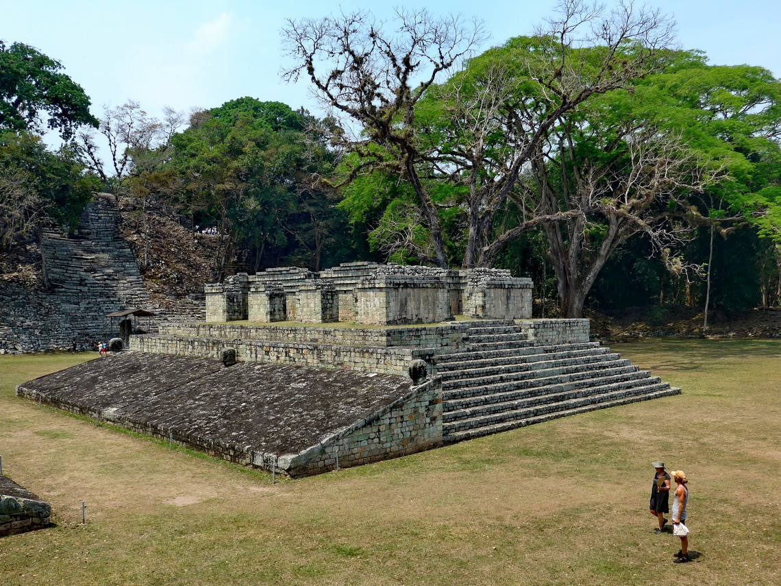
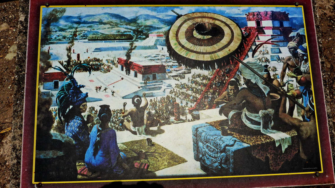
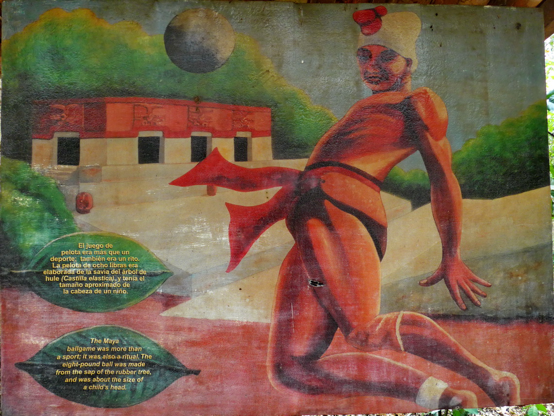
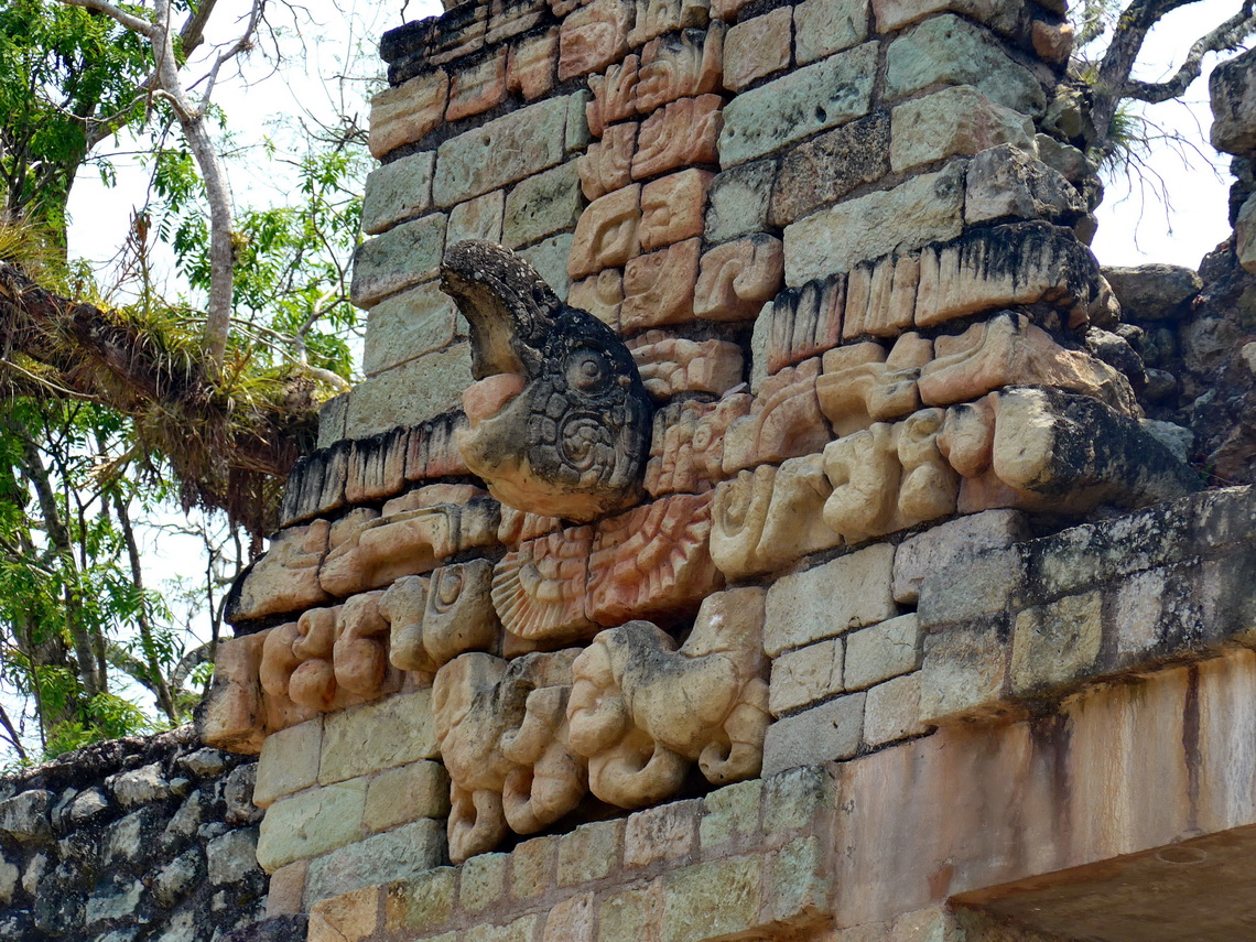
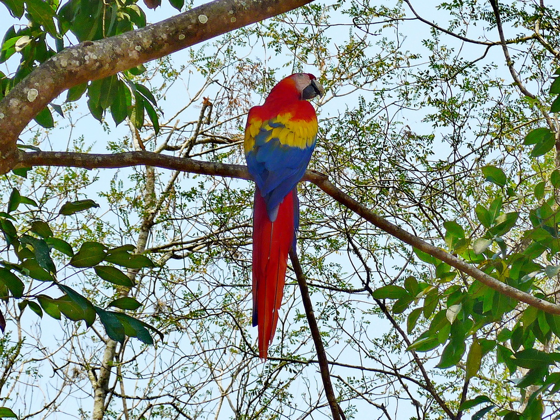
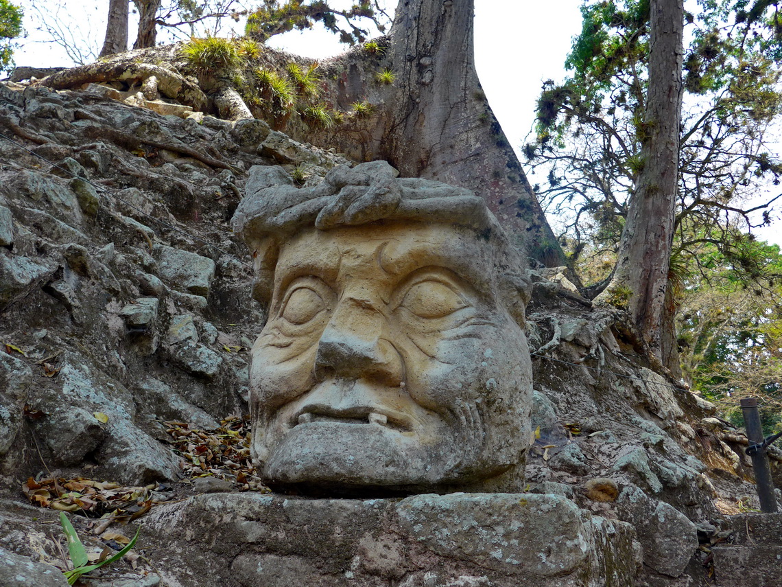
Close to the border to Guatemala is one of the most important archaeological Maya place, the UNESCO world heritage site Copan. It is a huge area in the forest with many wild animals, countless ruins and other treasures like big effigies of Maya principals. Maybe it is the location where football had been invented more than 1000 years ago. In contrast to today it was a deadly game because the losers had been sacrificed.
We stayed two nights nearby the entrance to the ruins and opposite of a gas station on a bus parking place La Arena guarded by a friendly family for little money (GPS coordinates: N14° 50.401' W89° 08.845'). We enjoyed the Saturday night life in town, which was both strange and gorgeous. At night we heard some shootings and a man ran around our car. Few minutes later horses whinnied hefty. In the morning the father of the family told us that the horses had been unsnapped in the night!
For more pictures, please click here For a map of our itineraries, click here
To download the GPS coordinates, click here


