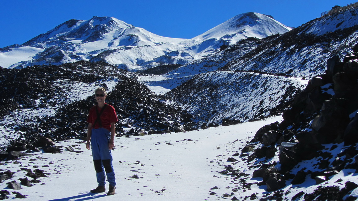
The twin Volcanoes Chillan Viejo (old) and Nuevo (new) are 80 kilometers East of the town Chillan and the hot springs with the same name. This region is famous for its ski resort, the largest in Chile. Both volcanoes are active with some smoking rocks as well as the neighboring Nevados de Chillan. Besides their relatively low height of approximately 3200 meters the glaciation is quite big.
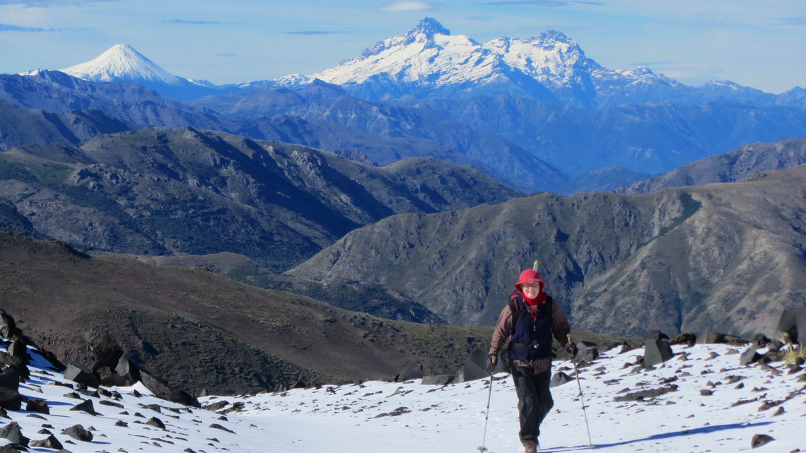
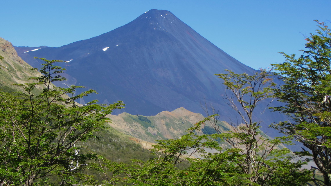
50 km South of the Volcanoes Chillan is the Parque Nacional Laguna del Laja. The lake Laguna Laja originated in the year 1873 due to a heavy eruption of the Volcan Antuco. This mountain is also a perfect black and / or white cone of close to 3000 meters height dominating the landscape of the national park. But it is excelled by the rough Sierra Velluda with its huge glaciers.
End of February 2012 we headed fast to the small village Bulnes to visit our friends Petra and Paddy in the winery Vina Chillan, see www.vinachillan.cl. This is one of the southernmost wineries on earth driven by Ruedi, like Petra and Paddy a Swiss citizen.
We had been with our friends on the vessel when we had crossed the Atlantic Ocean end of 2010. It became a long, long evening. Baerbel and Eberhard from the northern part of Germany and Maja from Zurich joined us, we had so much fun - Thank you very much Bärbel, Maja, Petra, Eberhard and Paddy.
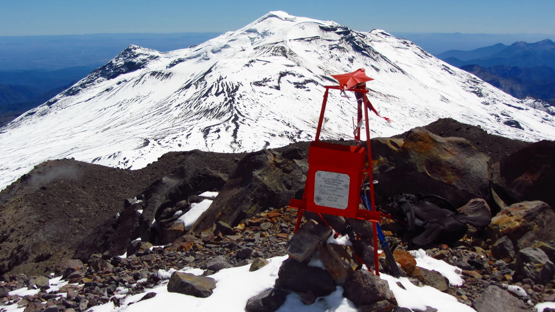
When we came to the hot springs Termas de Chillan, we were a little bit shocked: Construction sites everywhere because the ski resort must be extended dramatically. But we could stay the night near the hot springs and we started the way to the volcanoes quite early in the morning. It is a long way to the summit of more than 6 hours and about 1500 meters, vertically (GPS coordinates of the summit: S36° 52.083' W71° 22.683'). Our track is included in the GPS coordinates file of Chile.
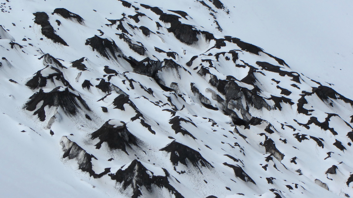
There was a lot of snow at the upper stations of the ski resort because the weather had been very wet the last days. We decided to climb up the higher Volcan Chillan Nuevo because its slopes seemed to be reasonable and we had not to cross the glacier with possible crevasses hidden by the fresh snow. Thanks to our crampons and ice-pick the ascent was quite easy and comfortable. We were totally alone in an outstanding marvelous environment.
Thanks to loose scree and snow the descent was fast and comfortable. And the hot springs were wonderful on the next day.
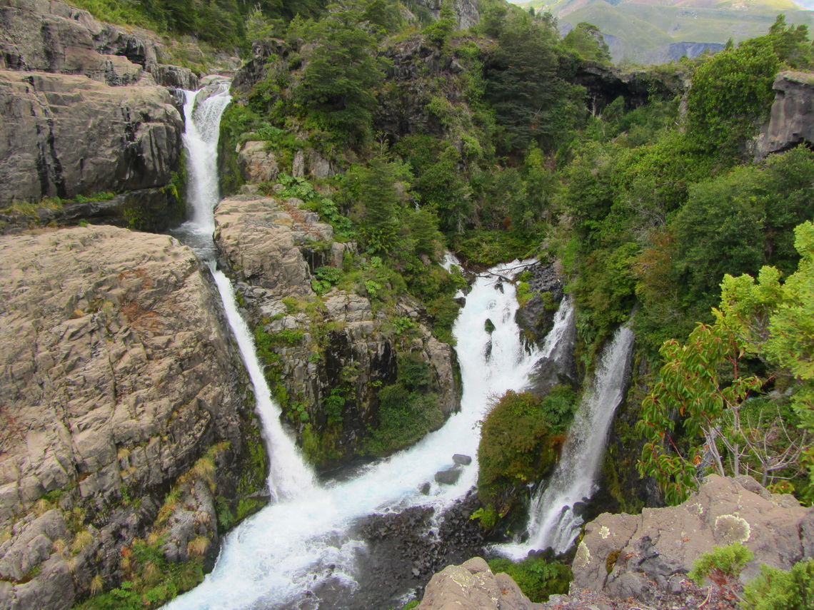
Near the entrance of the Parque Nacional Laguna del Laja is a short but beautiful round trip to the river Rio de la Laja. Its water is coming out from waterfalls from the lava.
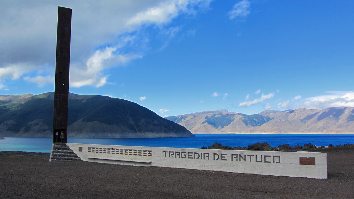
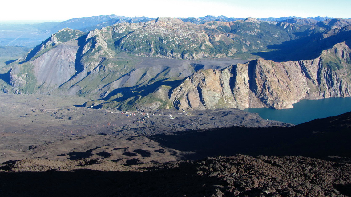
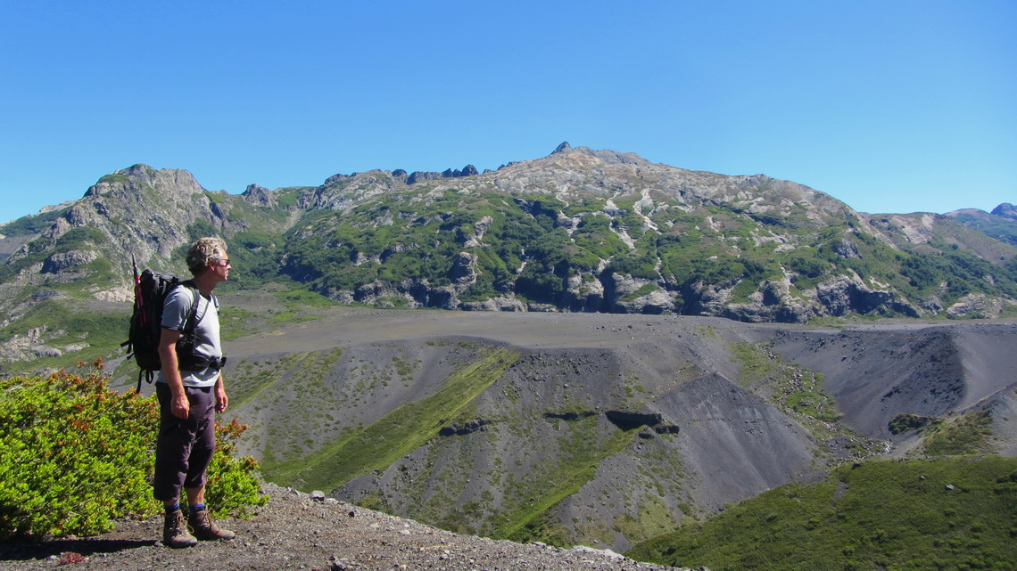
The landscape changes dramatically when you come to Laguna Laja, East of Volcan Antuco: Below it is a lush green forest with plenty of streams. Above it is an arid desert with black sand, scree and stones. If you are in this hot and dry area it is inconceivable that 45 soldiers died in a blizzard on May 18th 2005. This was one of the blackest moment in the younger Chilean history.
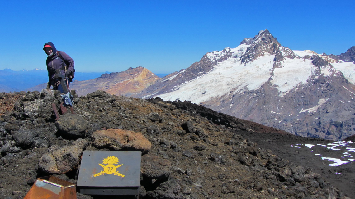
The ascent to Volcan Antuco was exhausting: More than 1600 meters vertically on bigger, loose and sharp lava stones. First you have to go close to the top of the ski lift. Second traverse approximately 2km East without gaining altitude. Third follow the northern slope and ridge to the summit (GPS coordinates: S37° 24.602' W71° 21.062'). There is no path at all. Our track is included in the GPS coordinates file of Chile.
The descent was painful: No scree and no snow but a balancing down on the rocks like walking on eggs. But the views on the summit were stunning and worth all efforts.
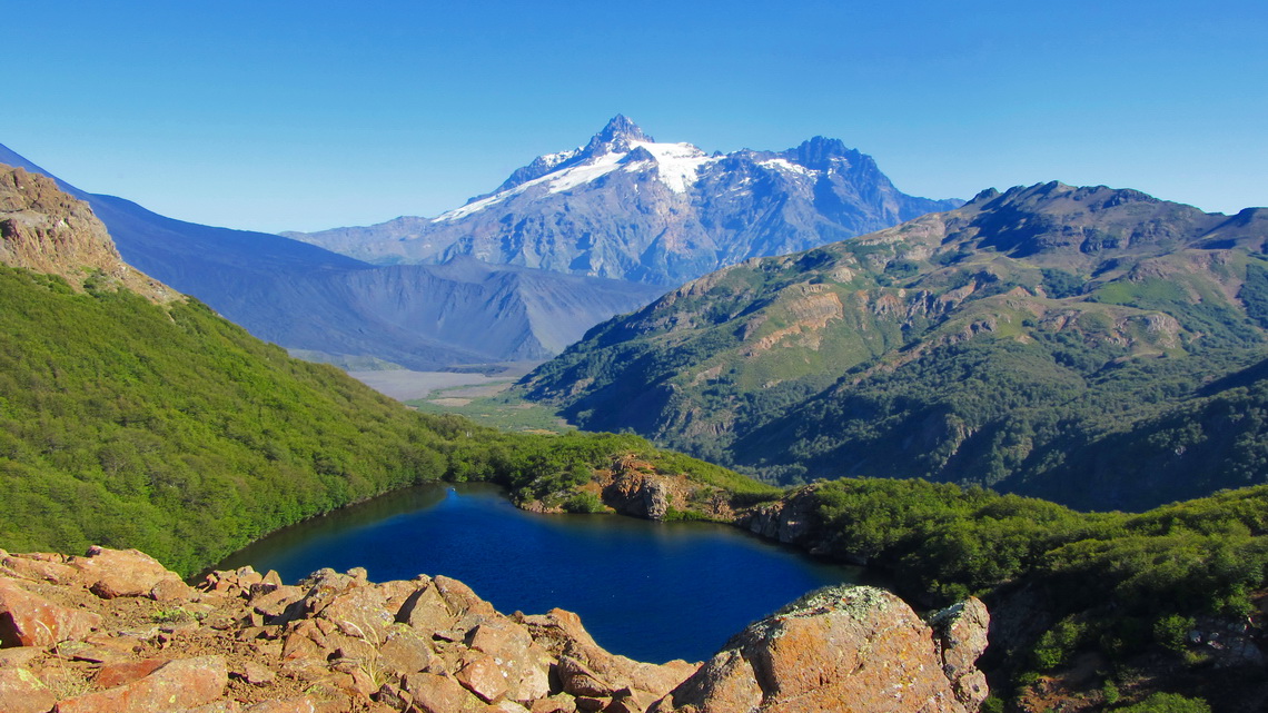
There is the multi cache Laguna Escondida in the valley opposite and North of Volcan Antuco. It is a day trip with three stations in a pristine and beautiful territory. There is good description of the way including some useful waypoints in the Internet, see Geocache Laguna Escondida.
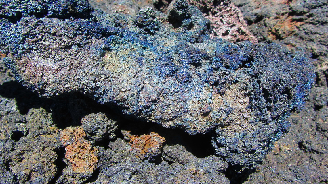
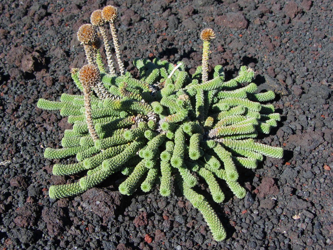
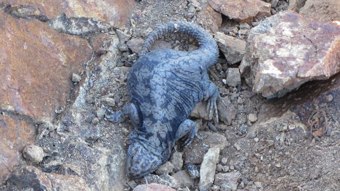
The first one was easy and we were not the first one who had found it. After two hours walking we came to the second one which was quite difficult to detect. We were the first who cached it. After three hours hiking we came on top of a mountain, which we named Cerro Laguna Escondida. There should be the third and last cache: We had no chance to get it in the loose scree and rocks but we found some different and exciting things, ...
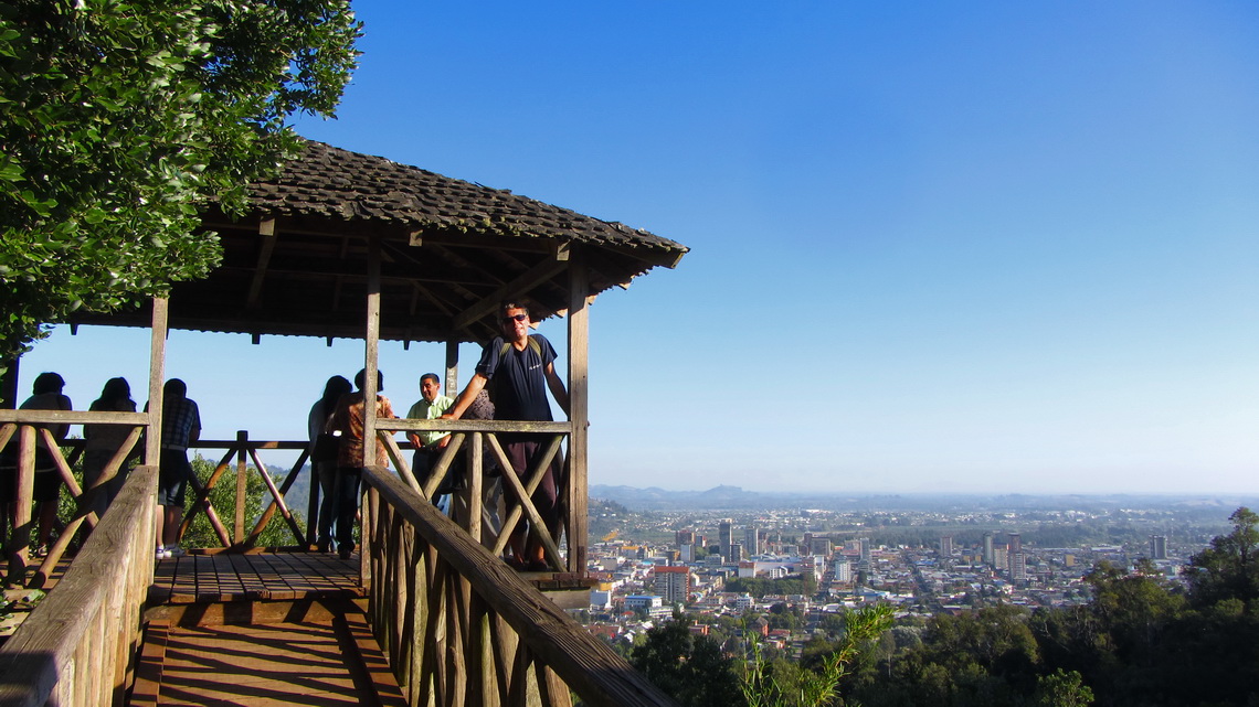
After so much mountain trips we decided to go to the Pacific Ocean and to visit the island Chiloe. Consequently we drove South to the large city Temuco, which is the capital of the IX region, Araucania, of Chile.
For more pictures, please click here For a map of our itineraries, click here
To download the GPS coordinates file of Chile, click here


