- You are here:
- Home

- Pictures
- Central America
- Guatemala
Pictures - Guatemala
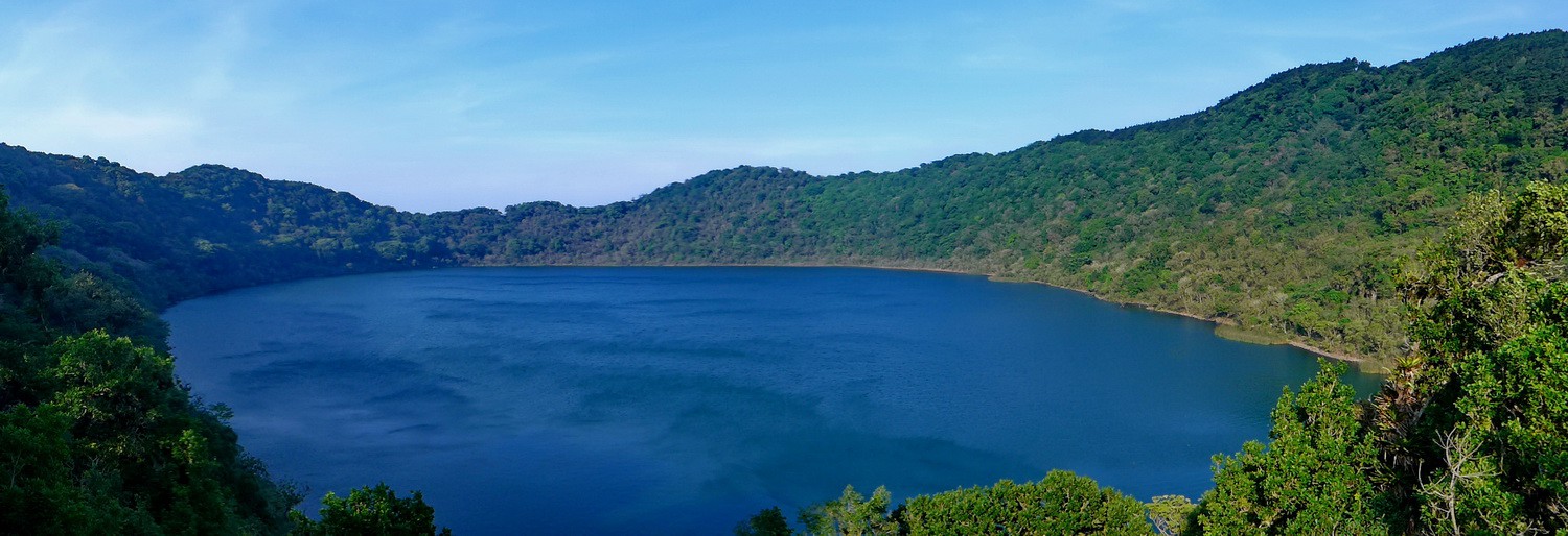
The lake in the crater of Volcan de Ipala - a wonderful place for swimming
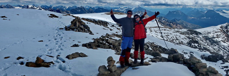
Frank close to the top of 1649 meters high Volcan de Ipala
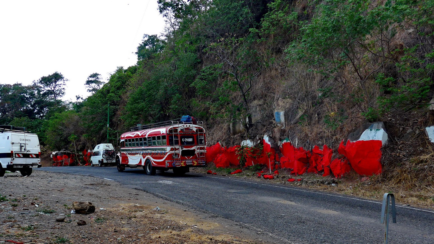
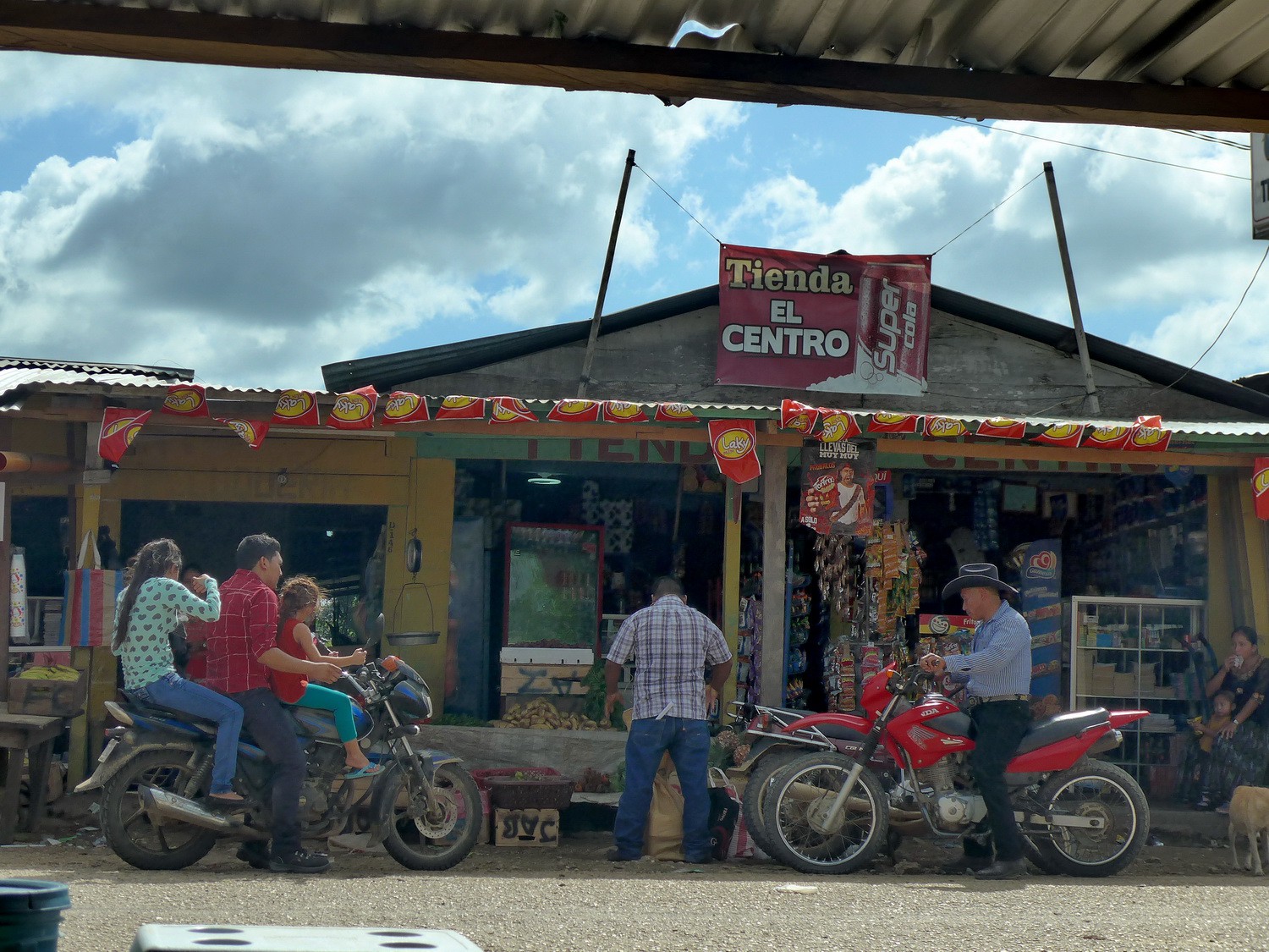
On the road between Ipala and Juitapa
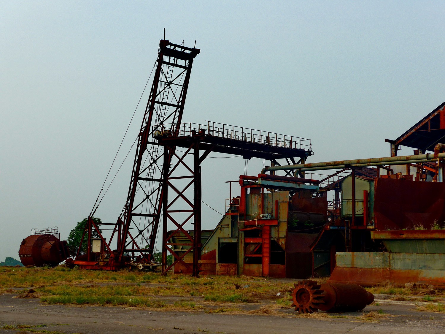
The abandoned sugar plant where the Museo El Bául is located (nearby the town Santa Lucia Cotzumalguapa)

Old steam locomotive of the abandoned sugar plant
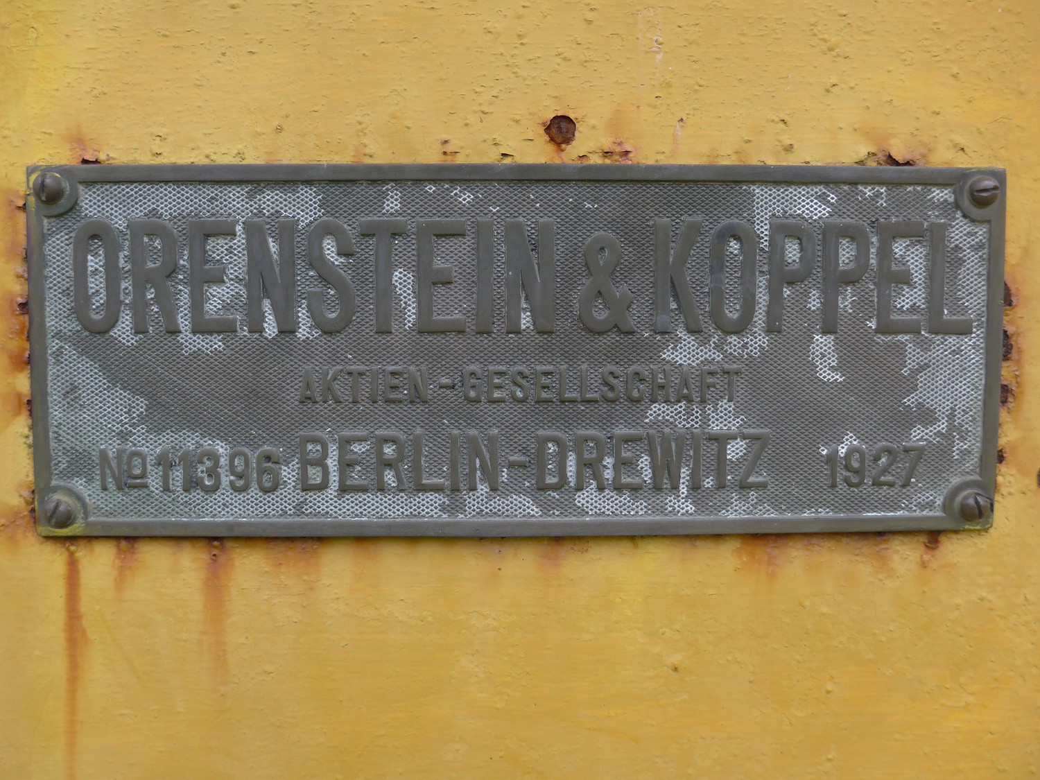
German label of another locomotive
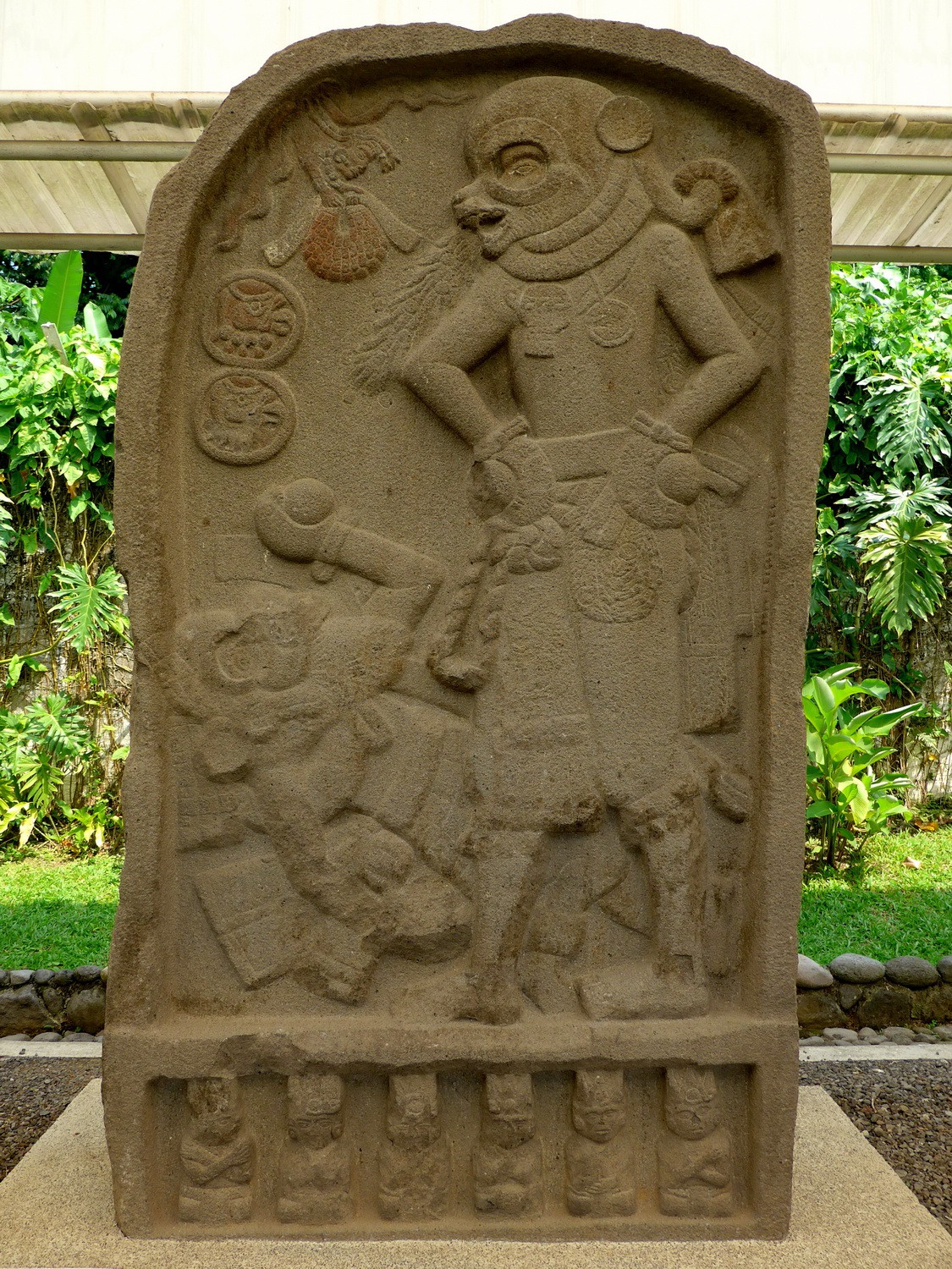
Ancient Boxers in the museum Museo El Baúl
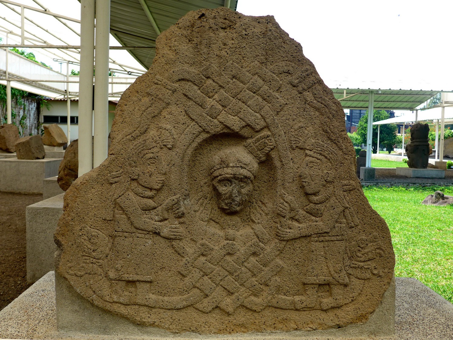
Two Ladies with two Snakes
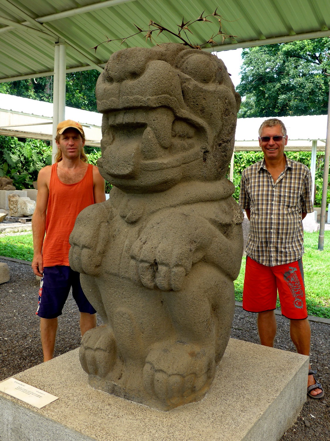
Frank and Alfred with a Jaguar
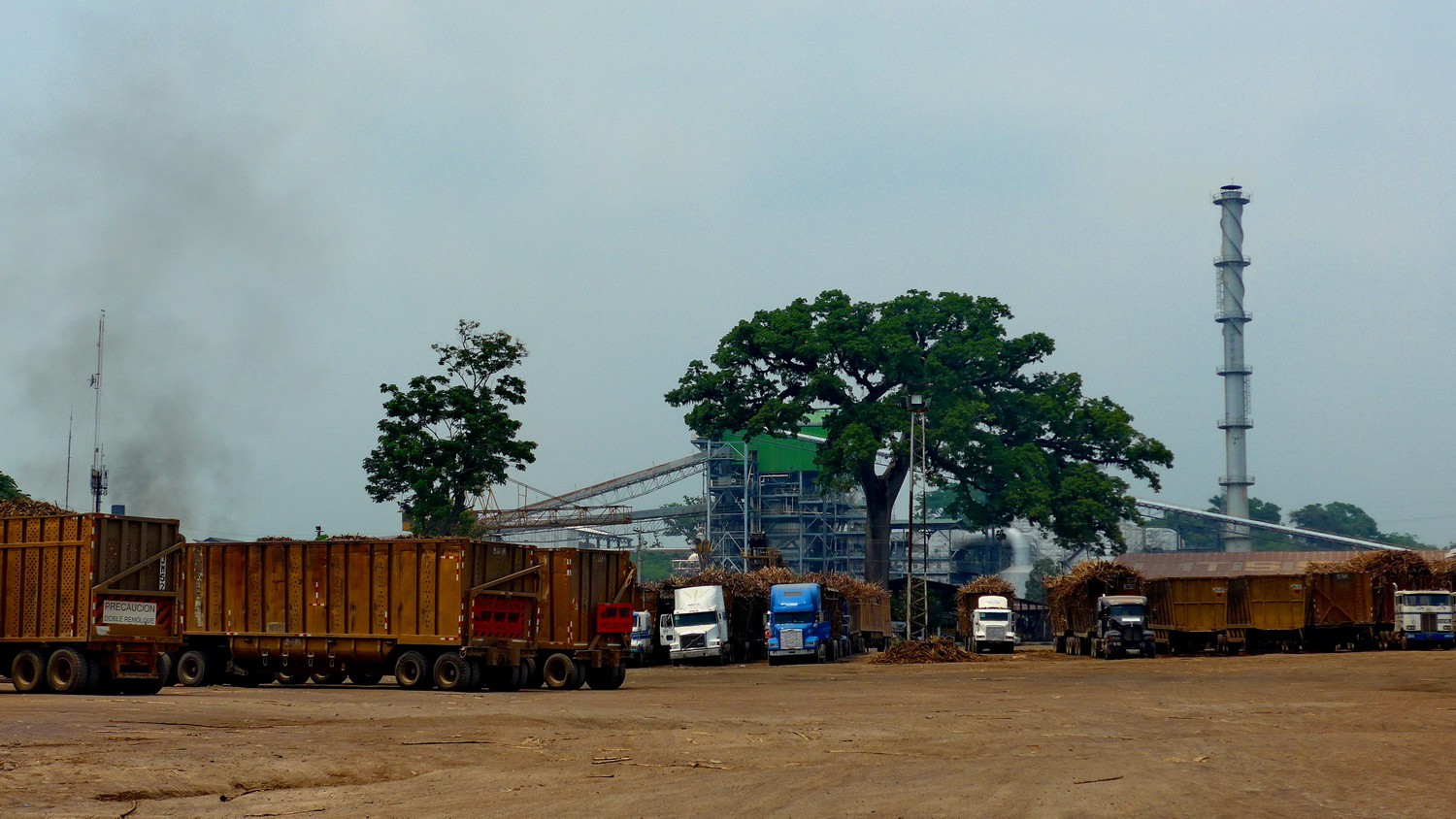
Sugarcane plant between Santa Lucia Cotzumalguapa and Mazatenango
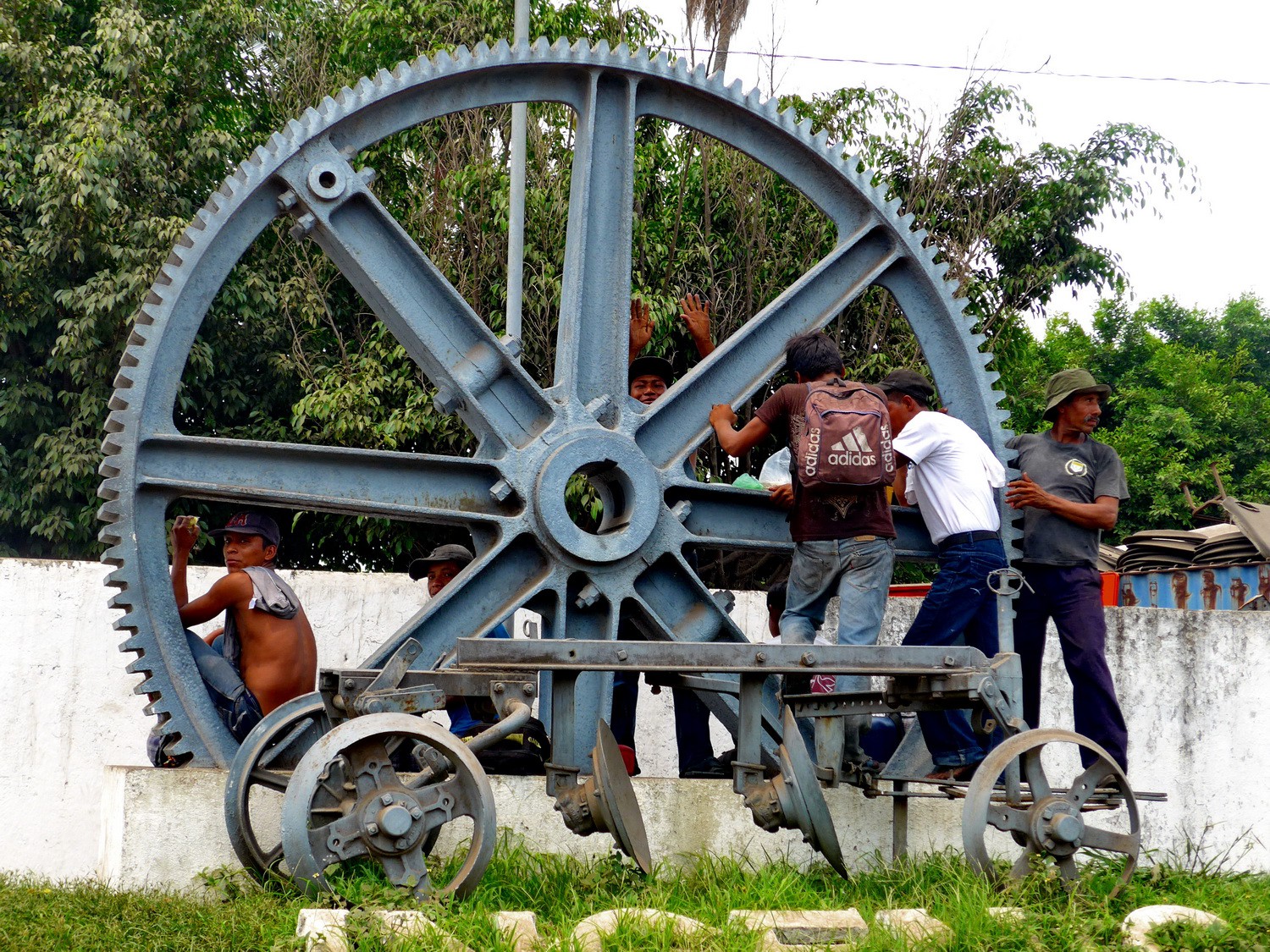
Workmen of the sugarcane plant
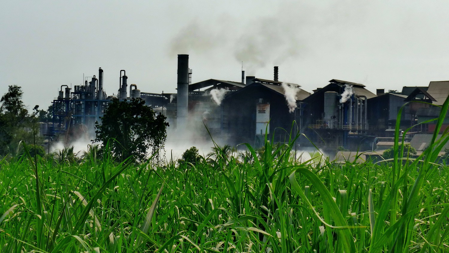
Steaming plant between Mazatenango and Tulate
Our marvelous campground in Tulate driven by Rosmery and her family (GPS coordinates: N14° 09.698' W91° 43.325')
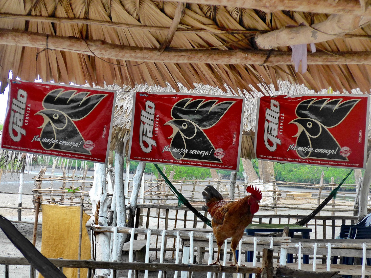
Living Cock and advertisements for the cock beer on our campsite
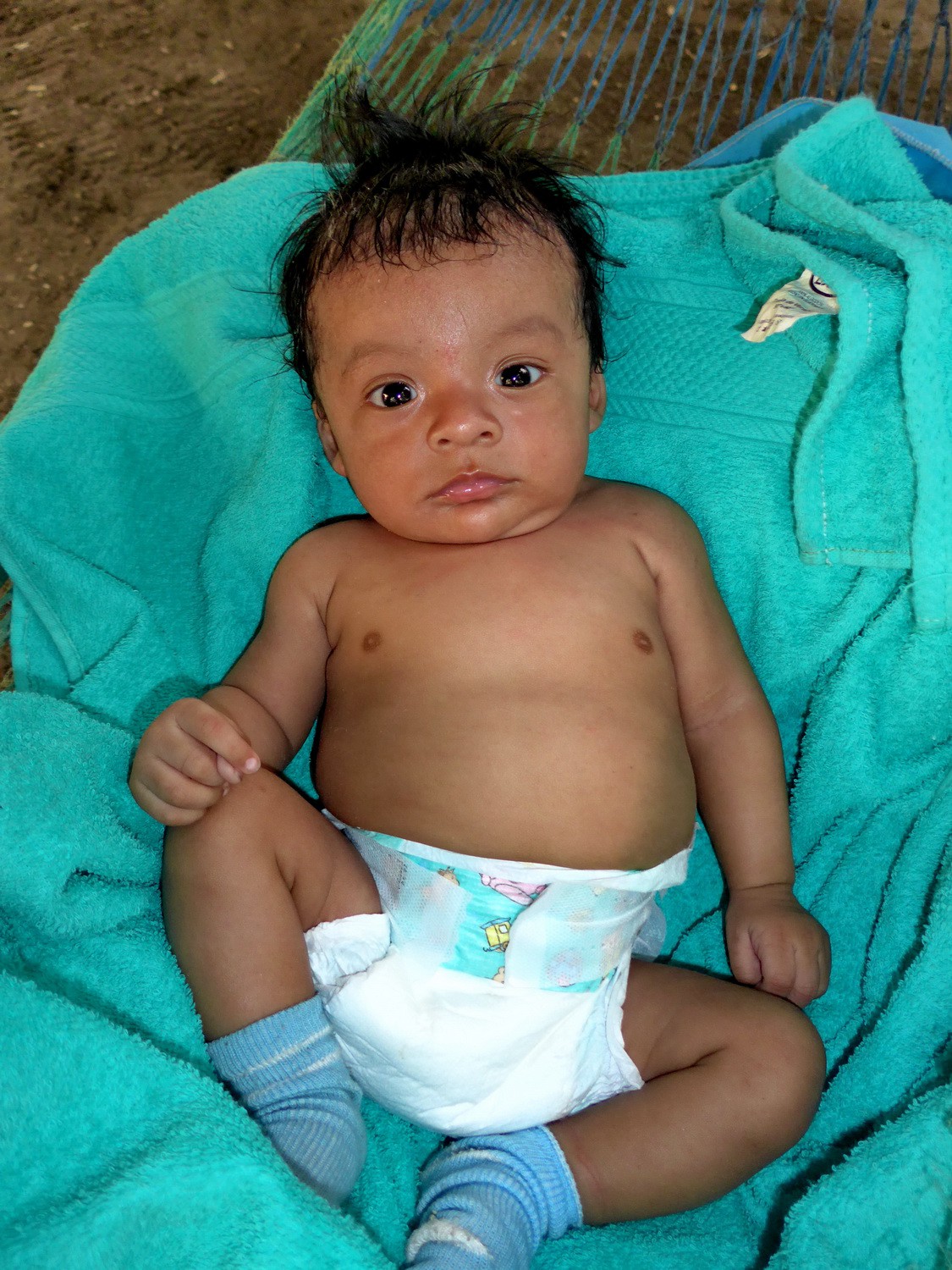
Rosmery's Baby
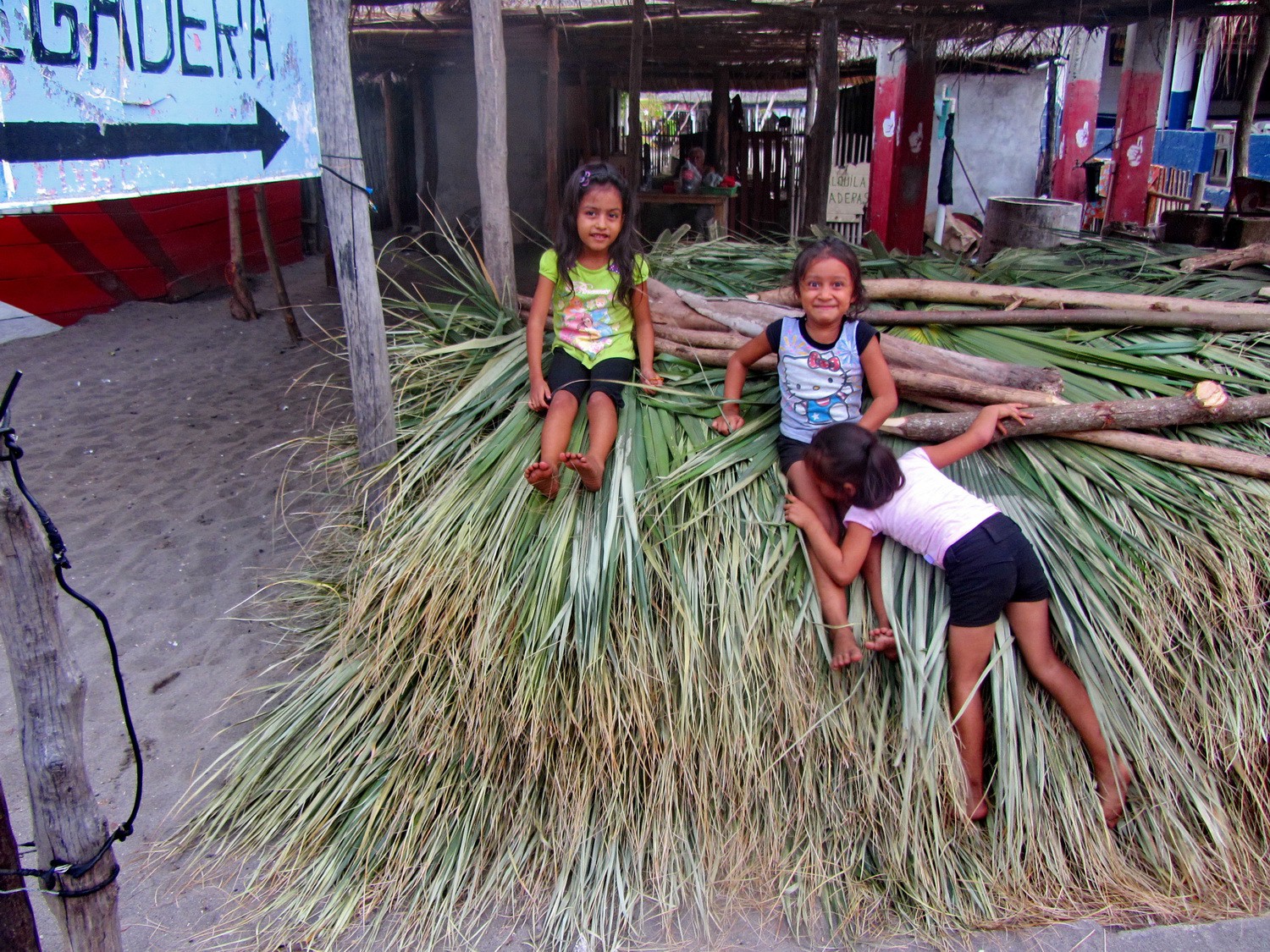
Girls of Tulate
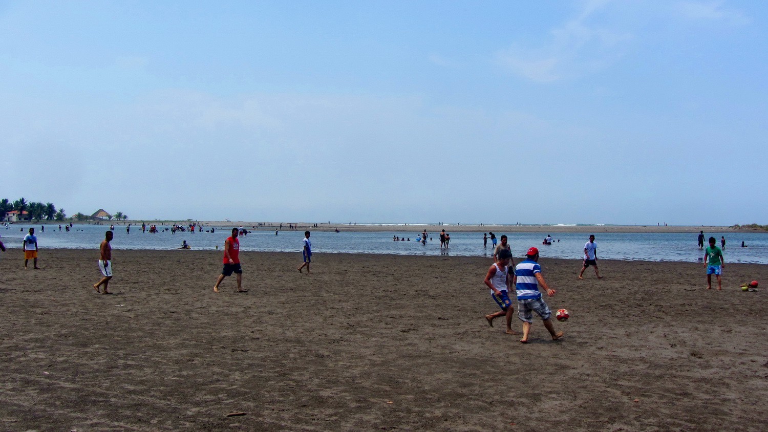
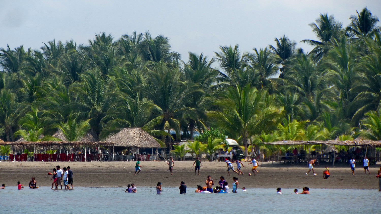
Football on the beach
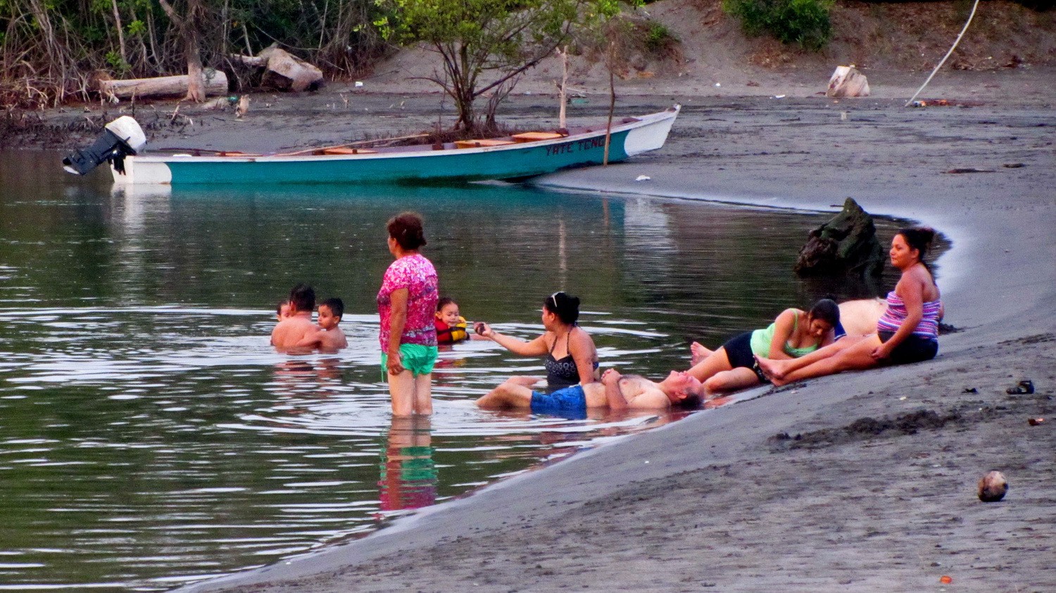
Family life of Tulate
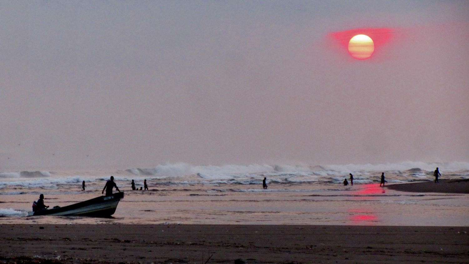
Sunset seen from Rosmery's campground
In the Maya ruins of Yax-Ha
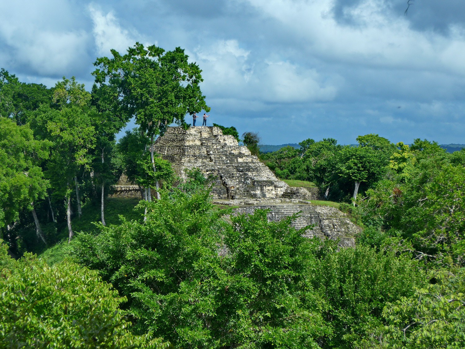
Another pyramid of Yax-Ha
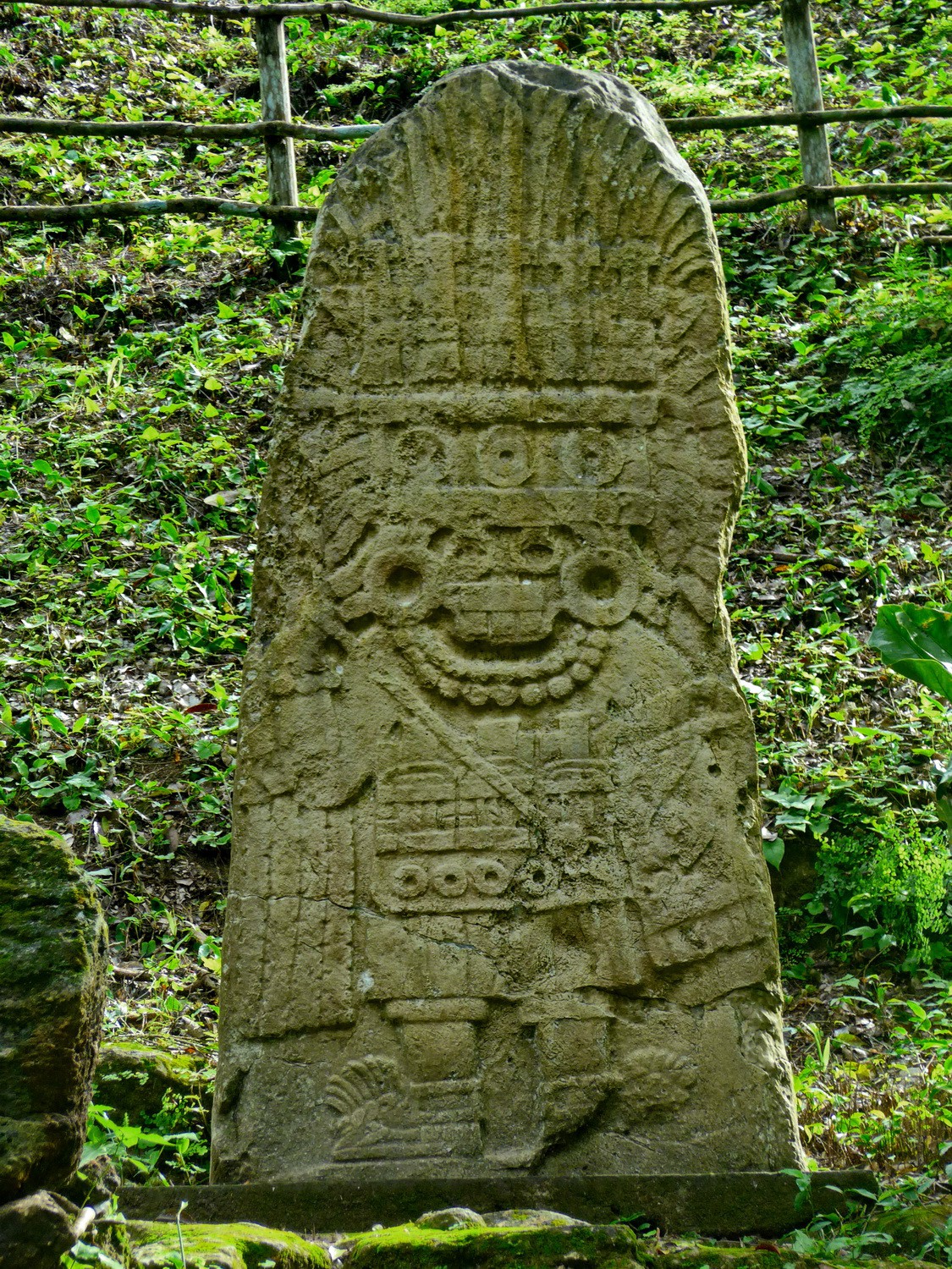
Stela in Yax-Ha - of a king?
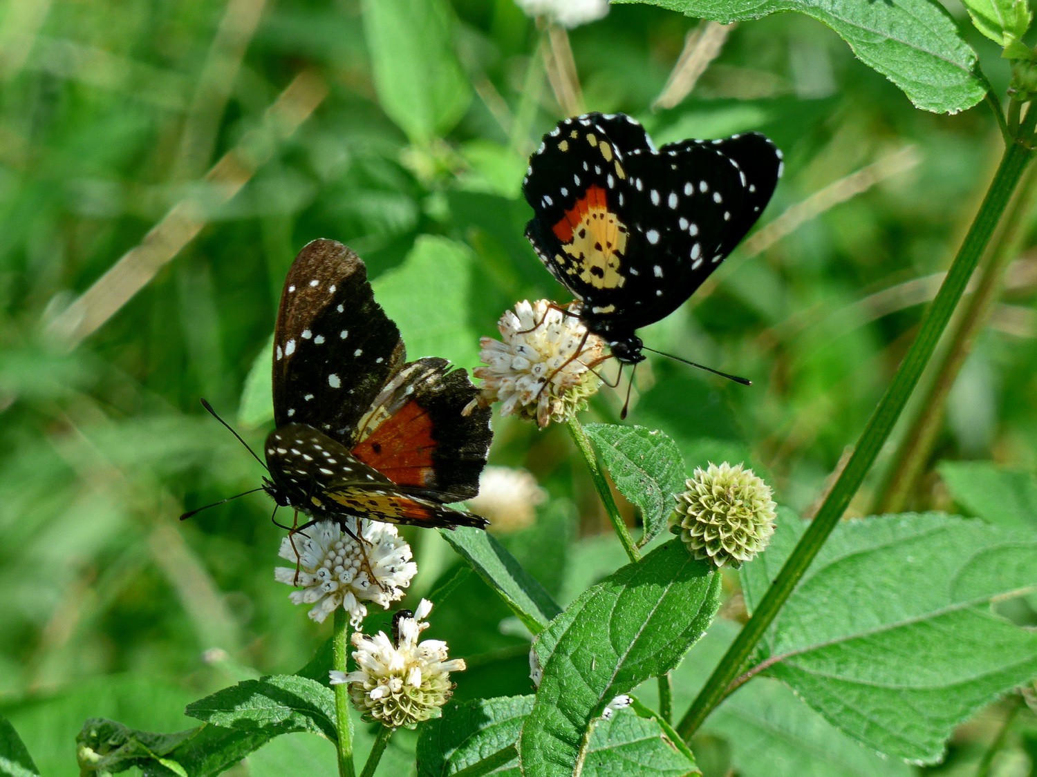
Life in Yax-Ha - Butterflies
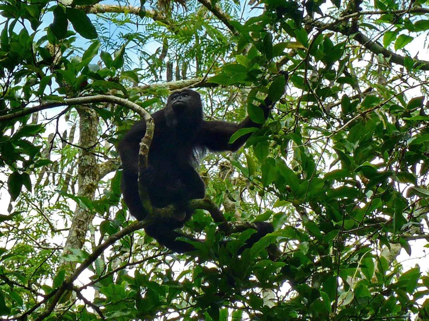
Life in Yax-Ha - Howler Monkey
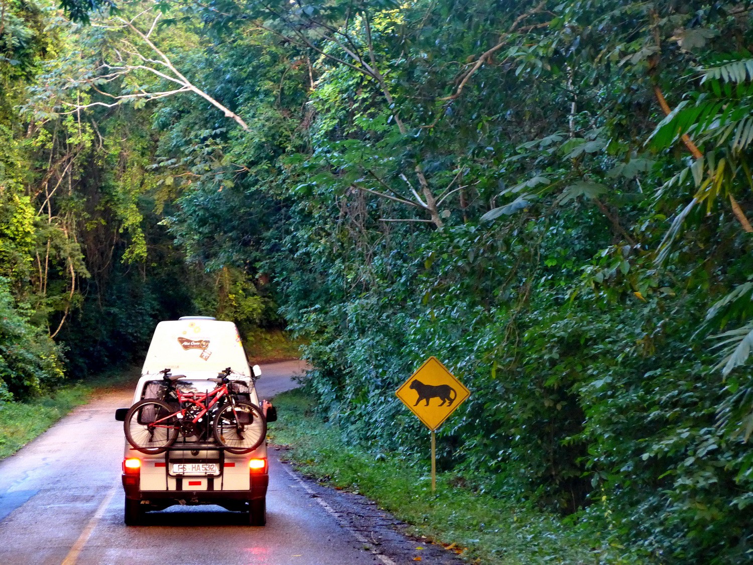
Puma traffic sign on the street to the famous Maya ruins Tikal
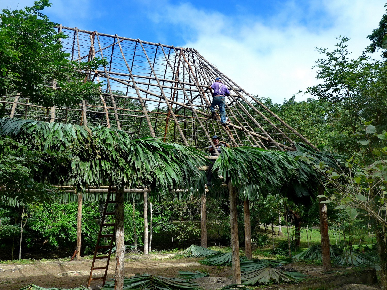
Construction of a roof at the entrance of Tikal
Obviously Tikal is in the rain forest
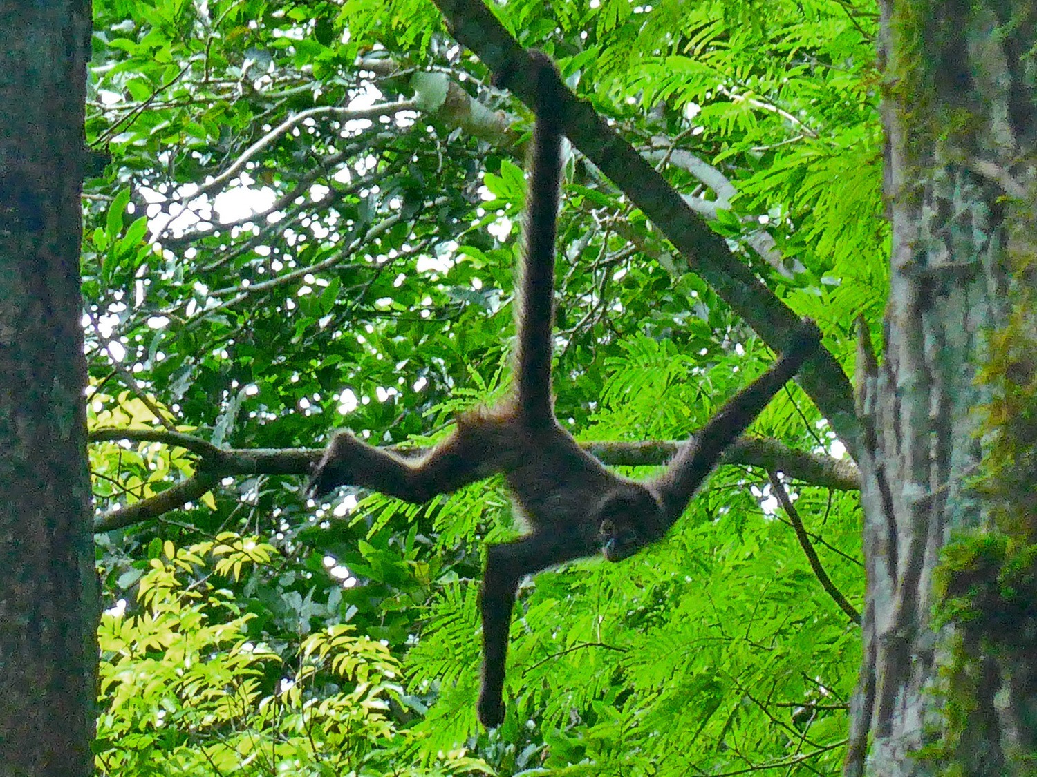
Spider Monkey in the ruins
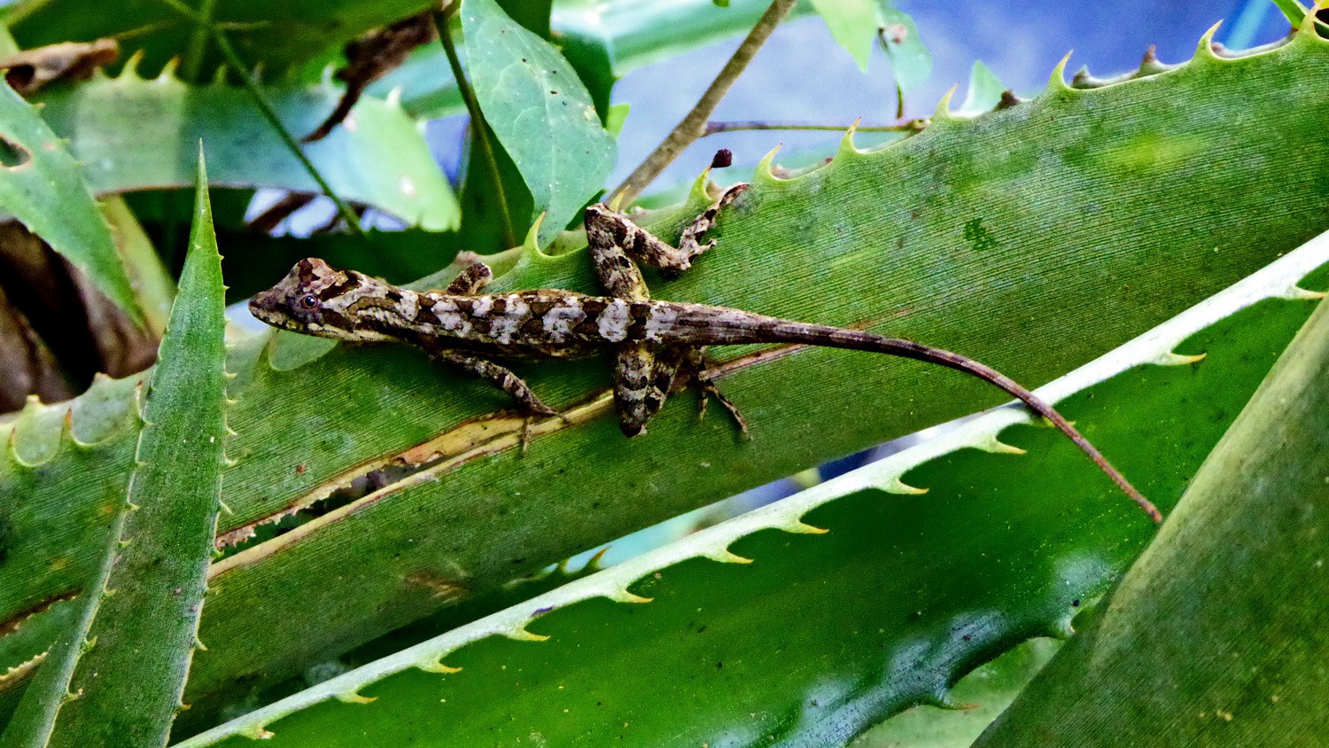
Lizard in Tikal

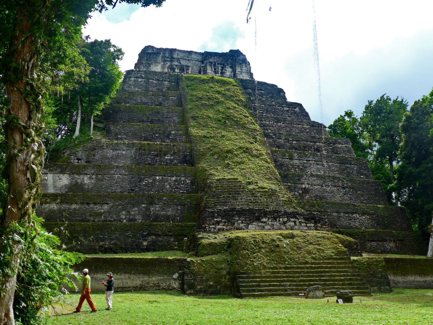
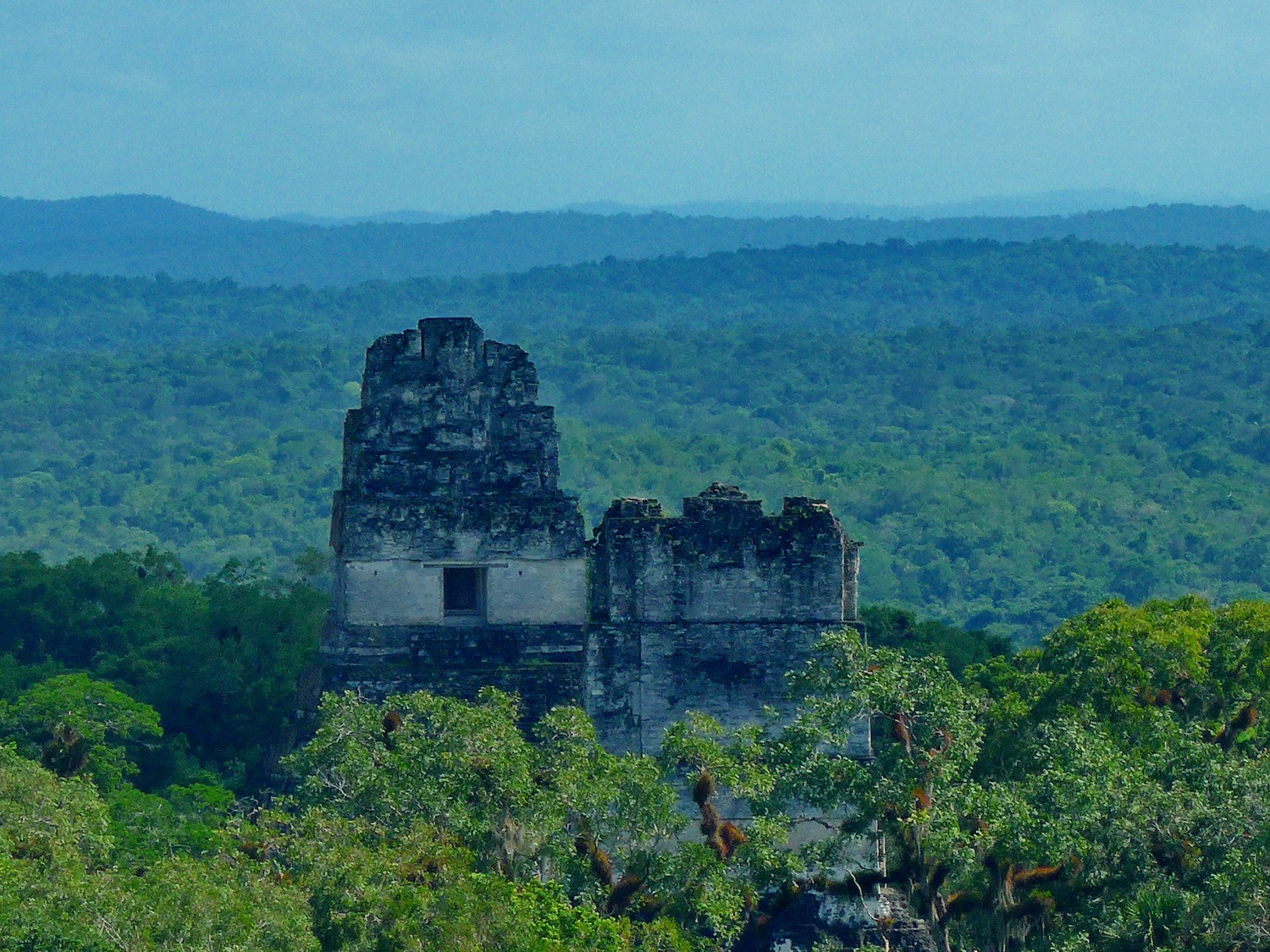
Main place of Tikal with the towering Temple of the Great Jaguar
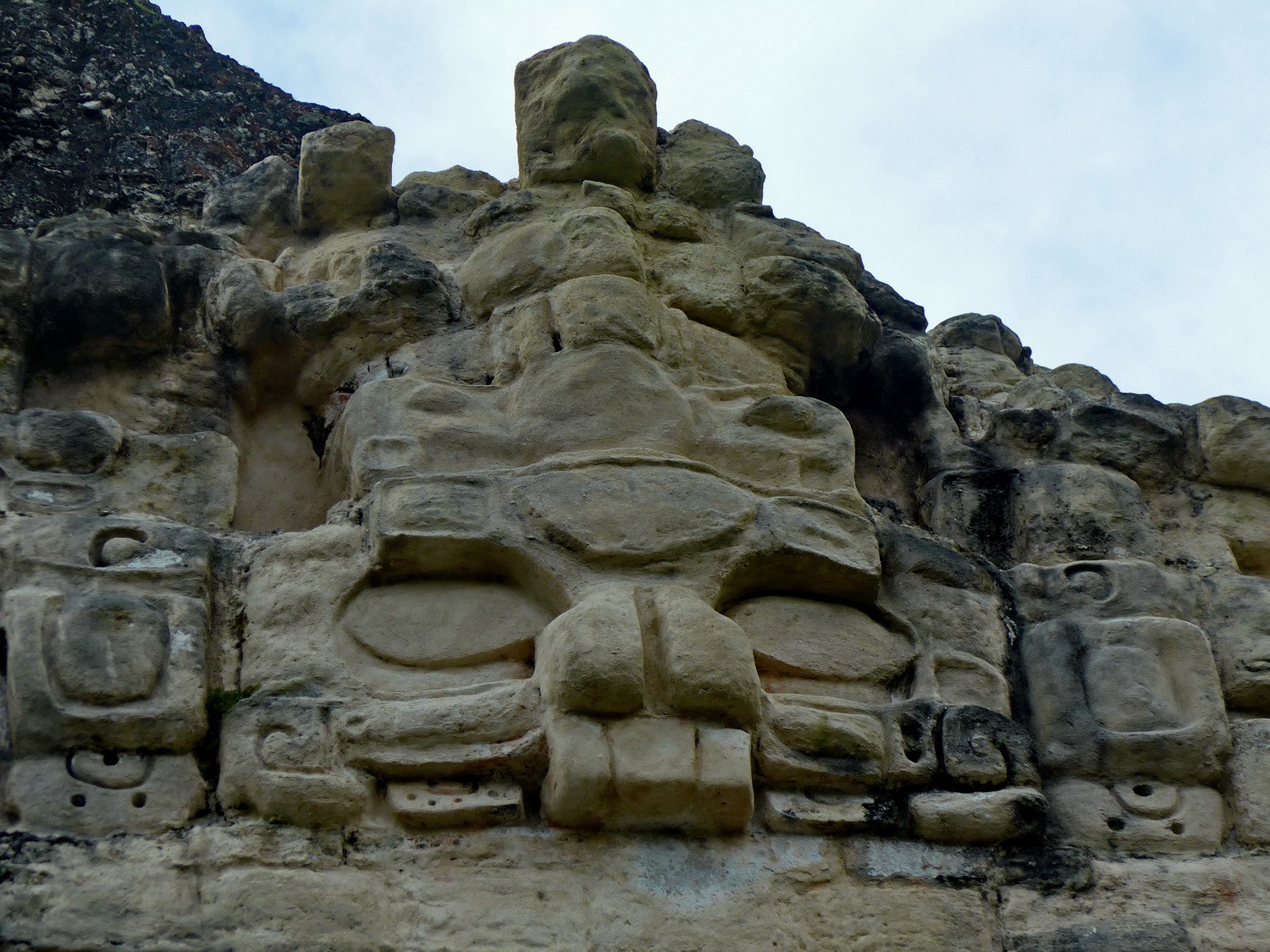
Huge head in the pyramid opposite of the Temple of the Grand Jaguar
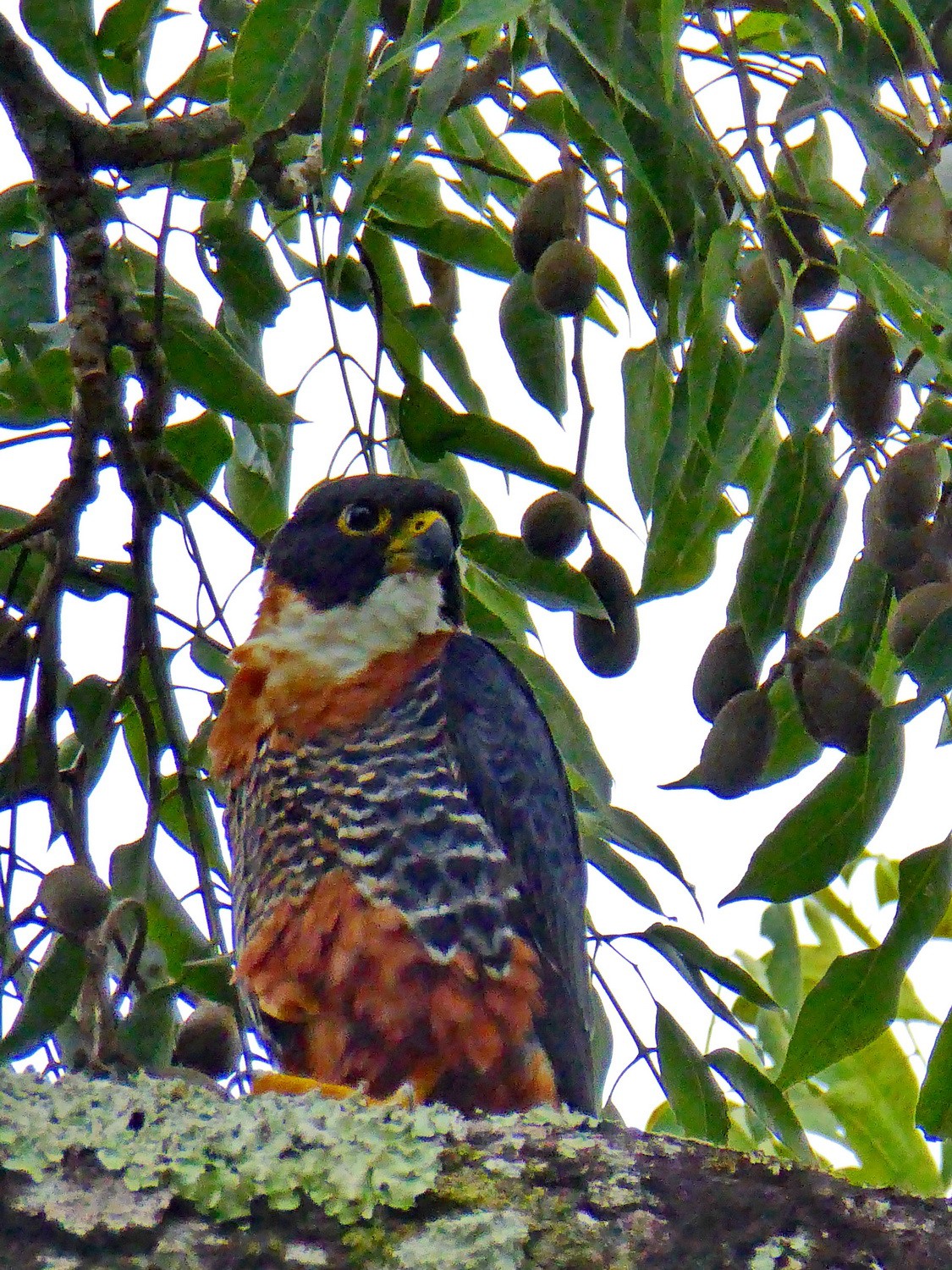
Colorful bird in Tikal
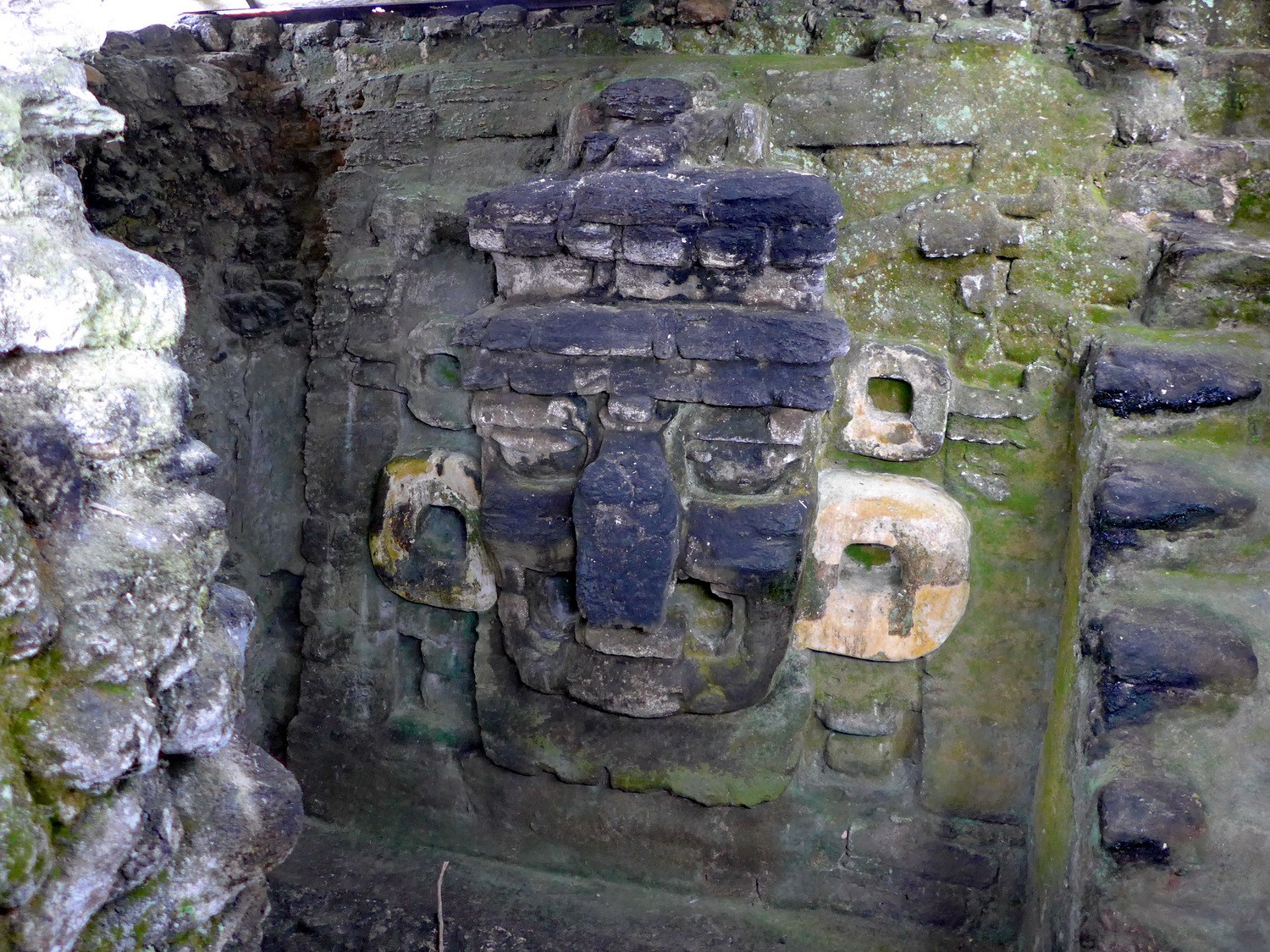
Another huge head of Tikal

Ocellated Turkey which is an endemic species of northern Peten
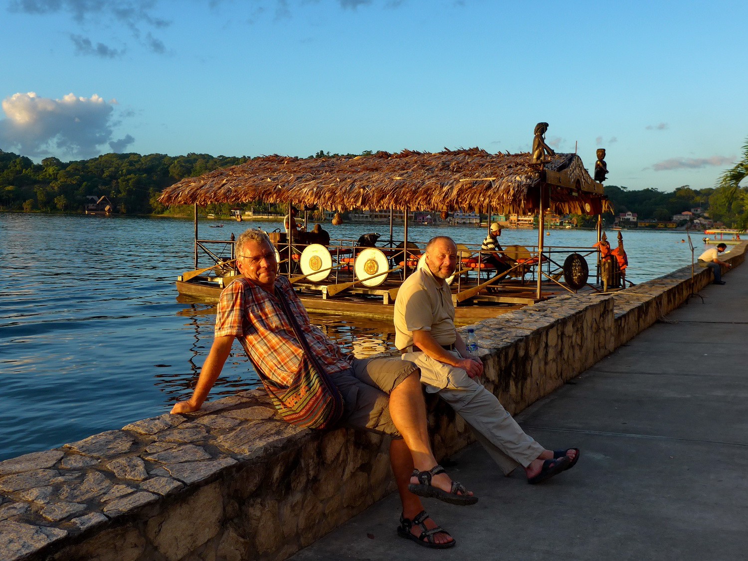
On the shore of lake Lago de Peten Itza in the capital of Peten Flores

The island of Flores seen at sunrise
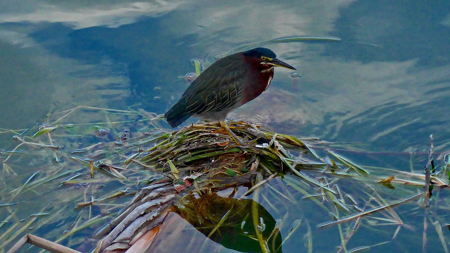
Kingfisher on Lago de Peten Itza
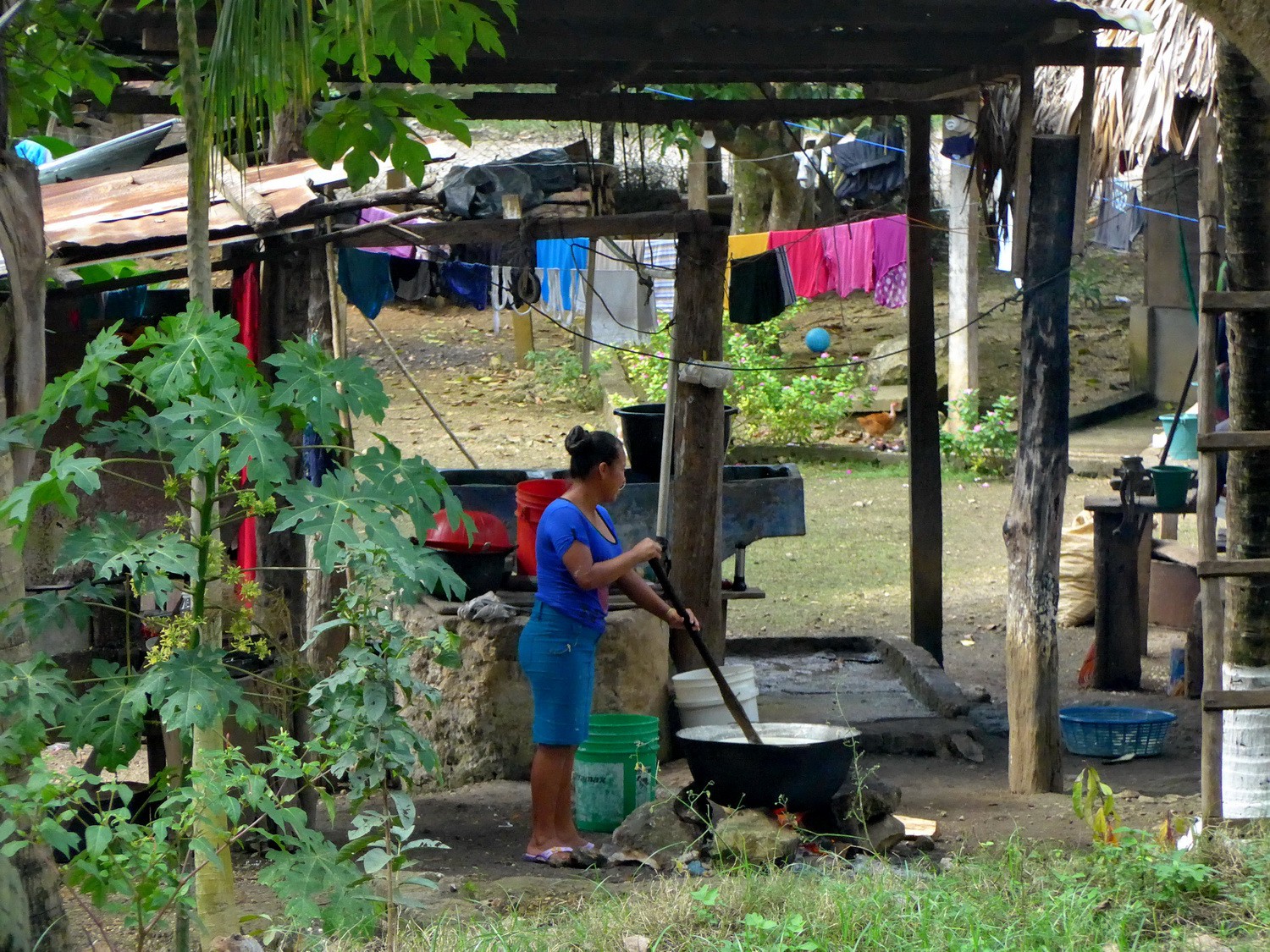
Life in Peten

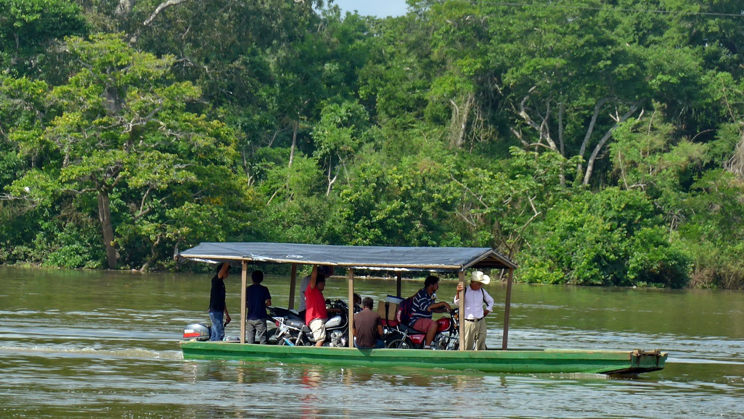
Little ferry on the street between Flores and Coban
Another more speedy ferry
Small village between Flores and Coban
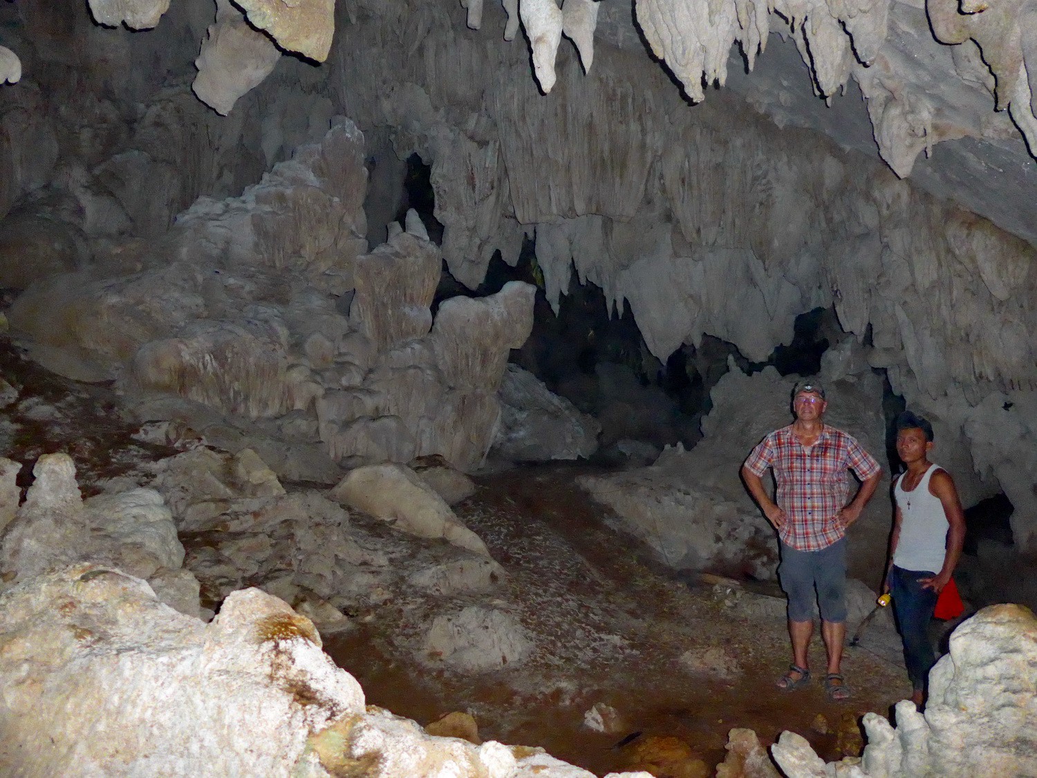
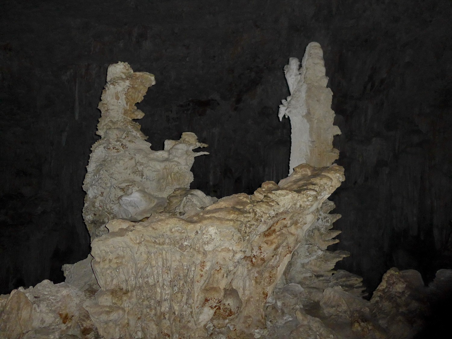
In a cave of the 18 kilometers long cave system Grutas de Candelaria

Marion in the cave

Basins in the cave with its entrance
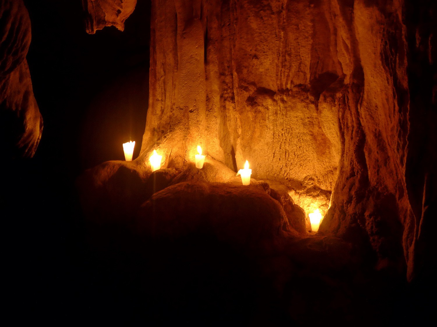
Candelaria means candles - an old ceremonial Maya site
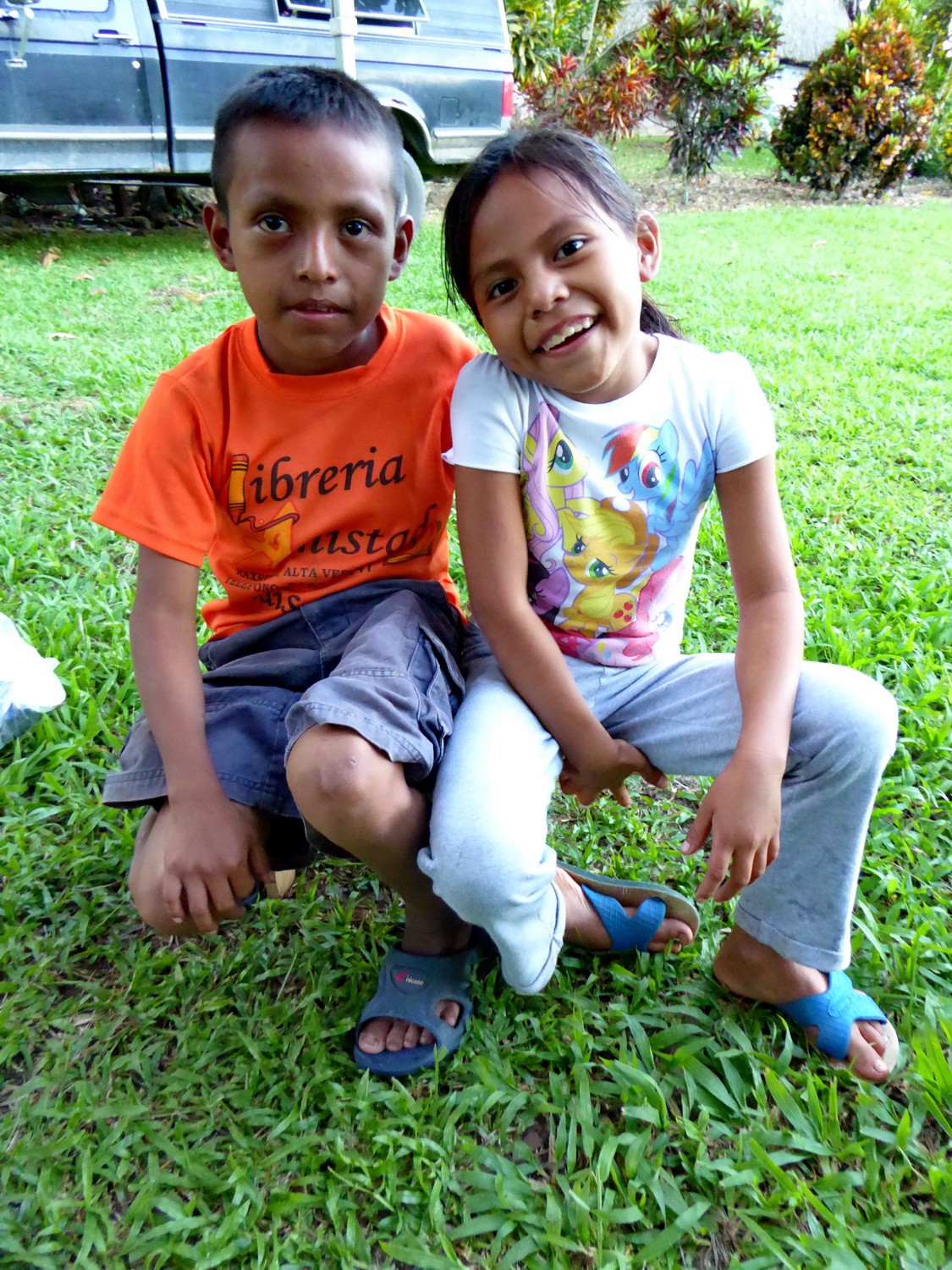
Two kids on our campsite of the Grutas de Candelaria
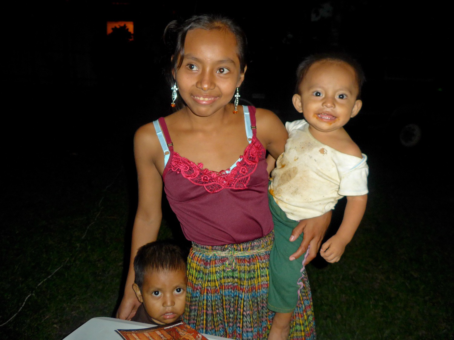
More kids at Christmas Eve
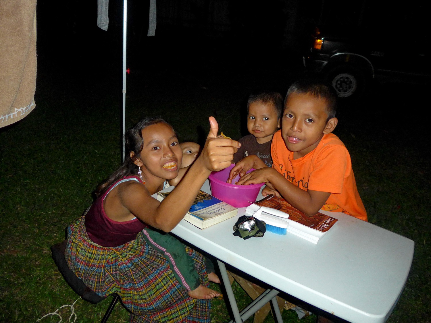
... enjoying chips and books
Holy Mary in the cave (right)
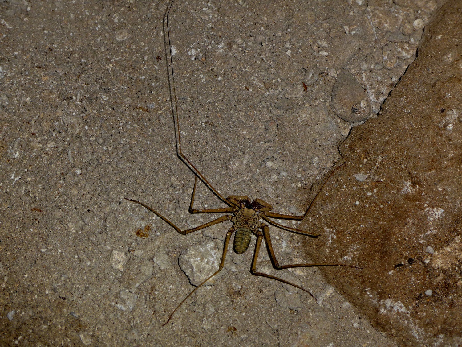
Spider in the cave
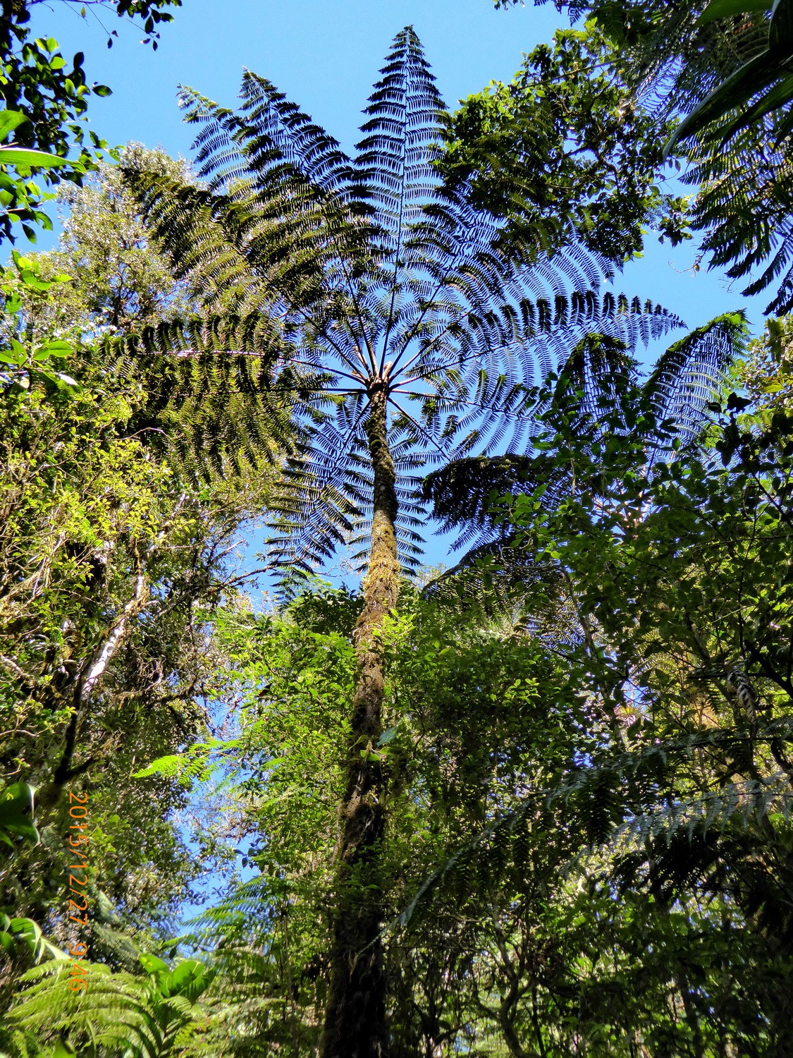
Fern tree in the Biotopo del Quetzal (approx. 50 kilometers south of Coban)
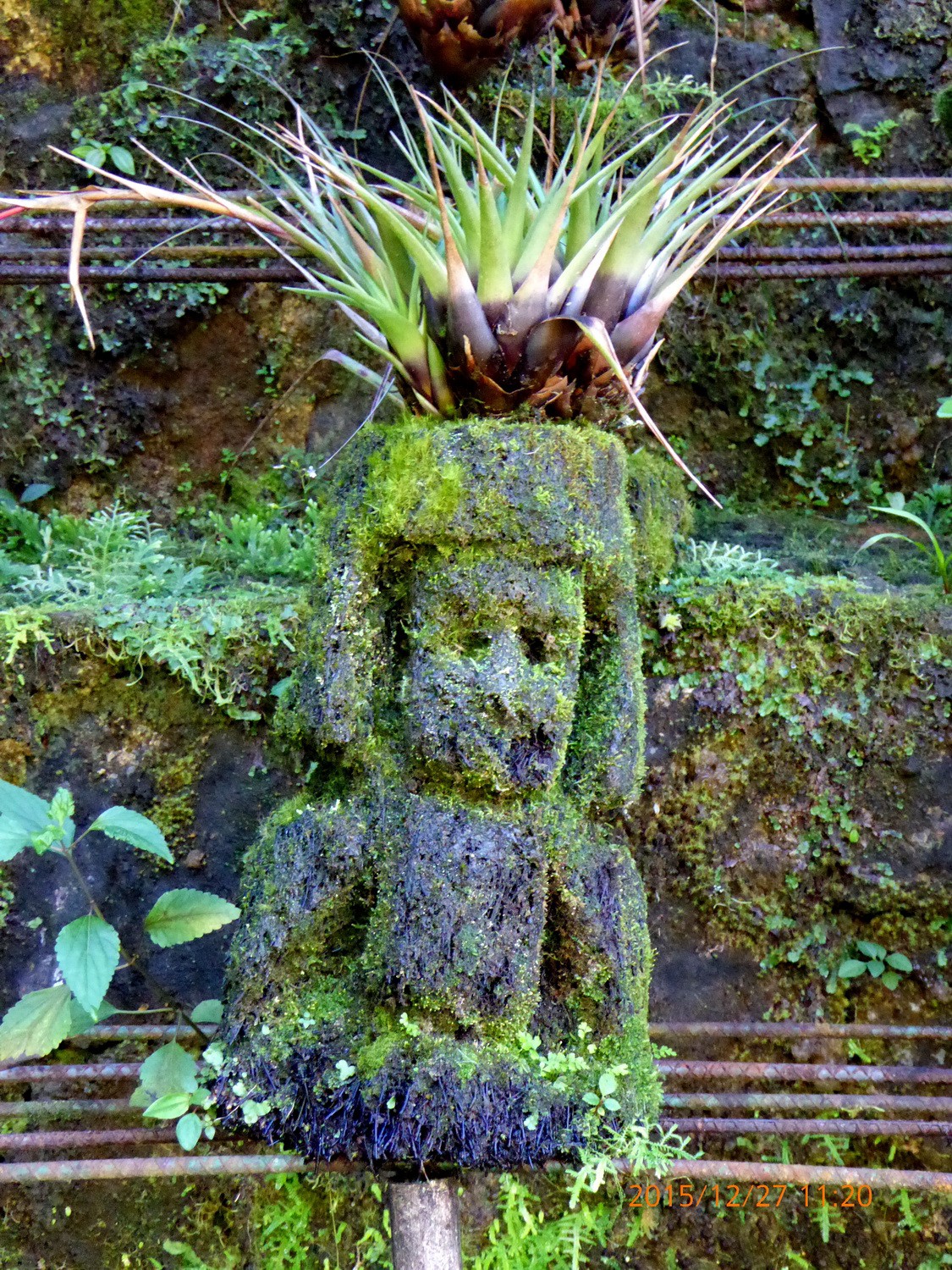
Figurine in the biotopo
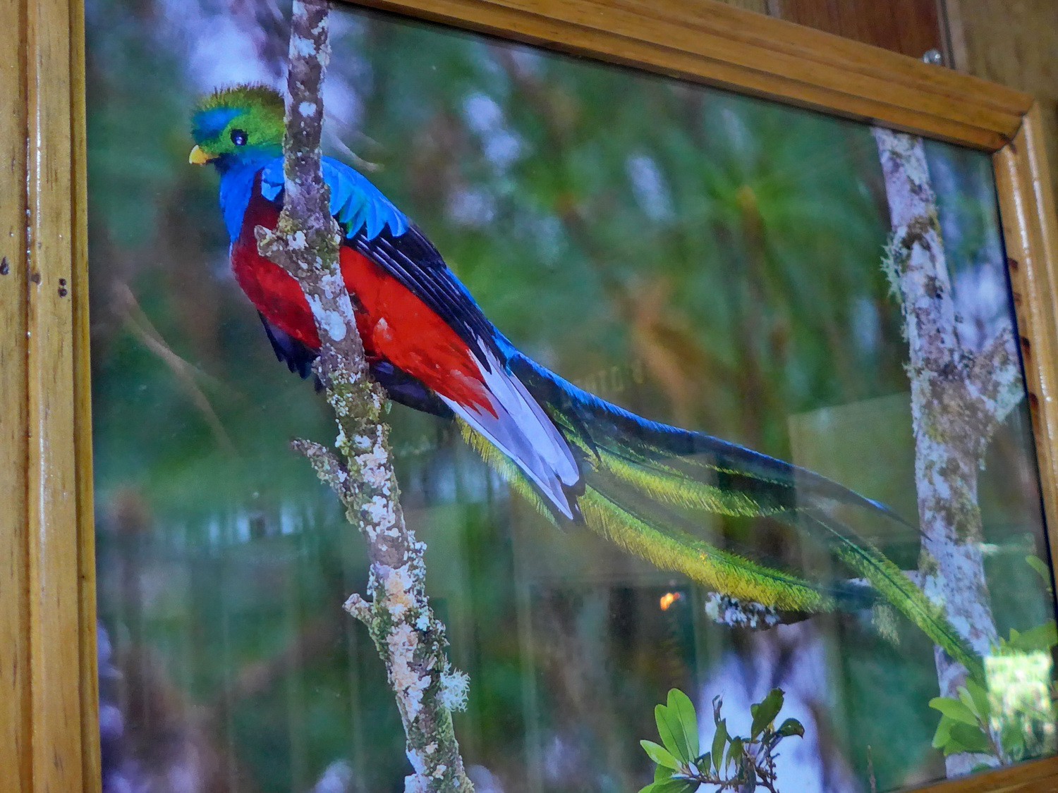
Quetzal, unfortunately just a picture in the museum of the Biotopo del Quetzal
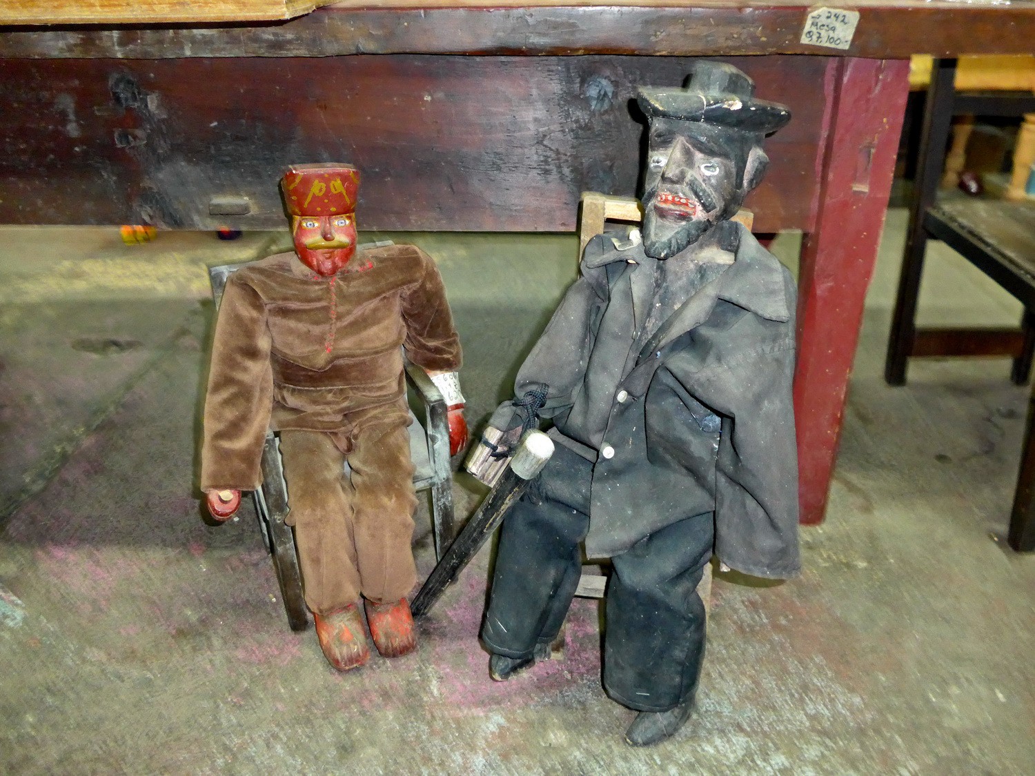
Two Massimos in Antigua, the bad guy of the saints of Guatemala and Mexico
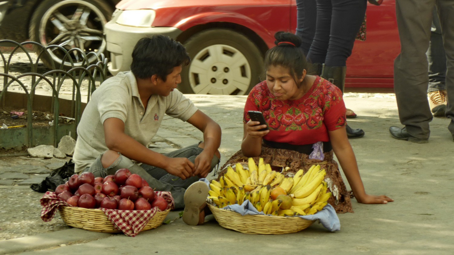
Couple on a street in Antigua
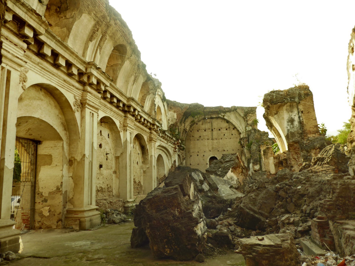
Ruinous church in Antigua which is jeopardized always by earthquakes and volcanic eruptions

City hall of Antigua
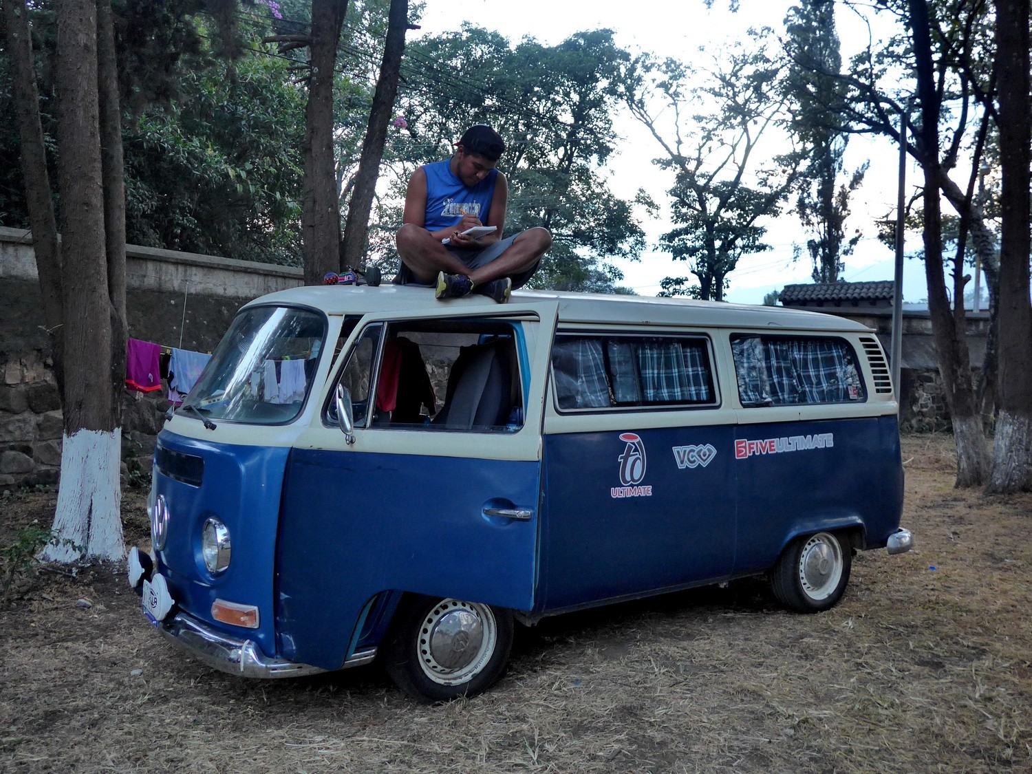
Bully on the campsite of the Tourist Police in Antigua
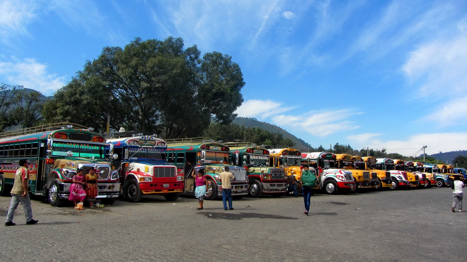
Bus station of Antigua
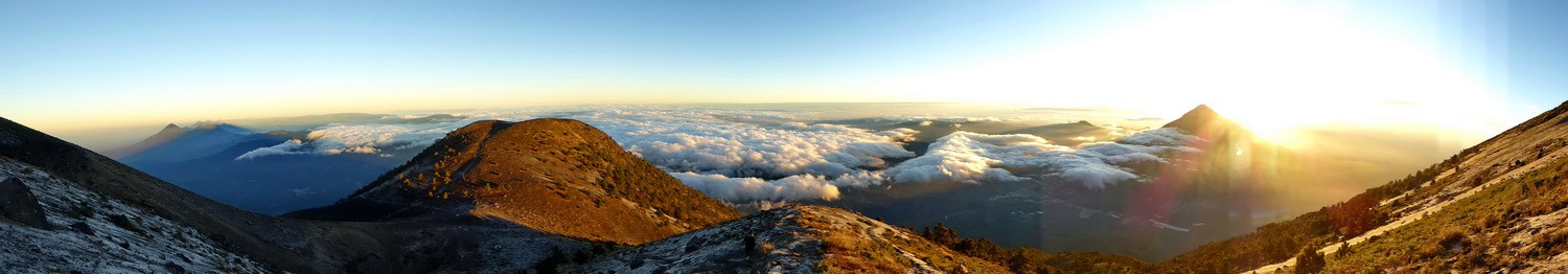
Sunrise on Volcan Acatenango with Cima Yepocapa and Volcan Agua
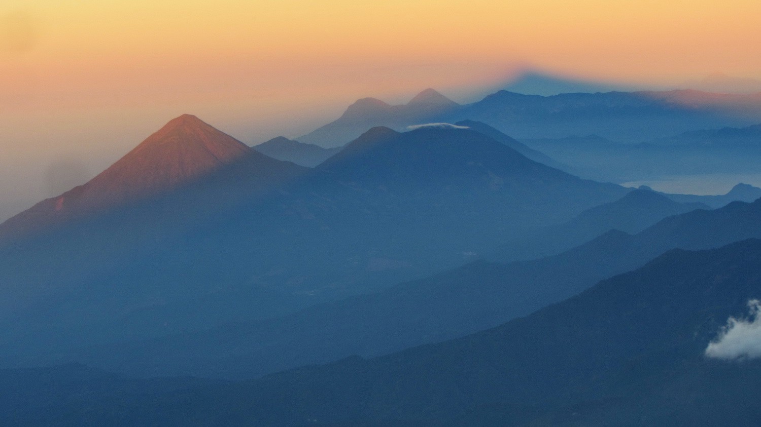
The shadow of Volcan Acatenango with several other volcanoes of Guatemala
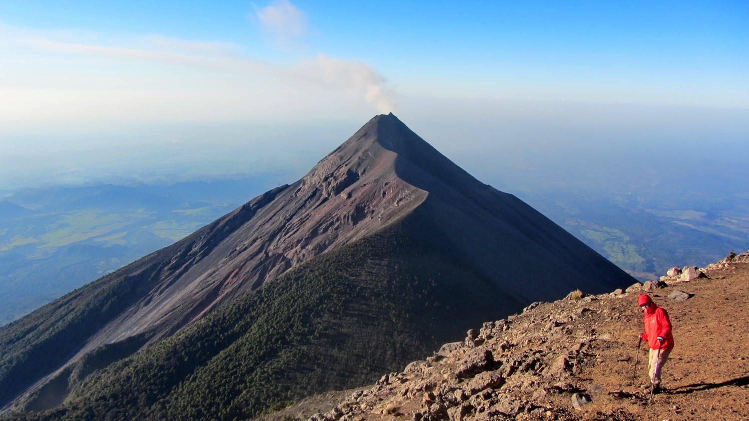
Smoking Volcan Fuego seeing from the top of Acatenango
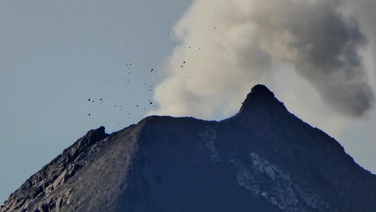
Volcan Fuego threw huge stones ...
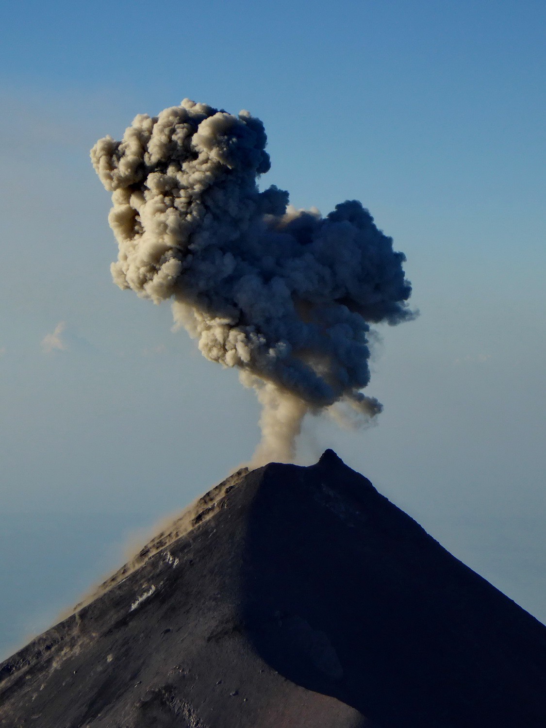
... suddenly heavy and dark smoke ...
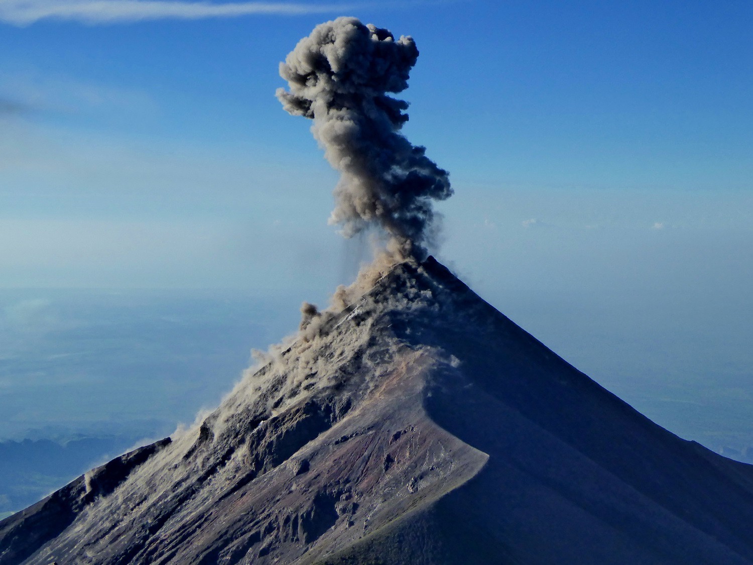
... an eruption!
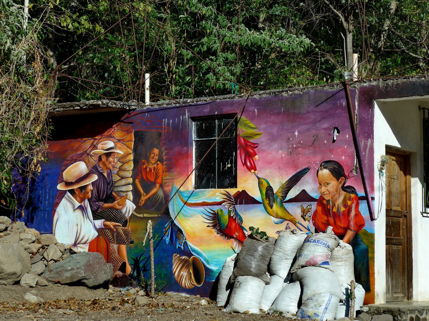
Mural on the northwestern shore of Lago Atitlan
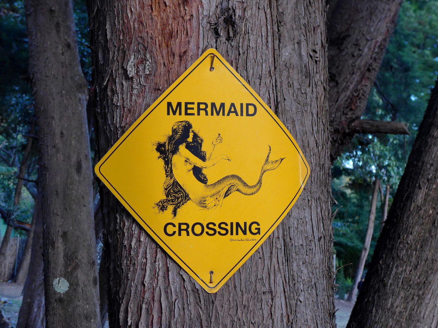
Curious traffic sign in Jaibalito
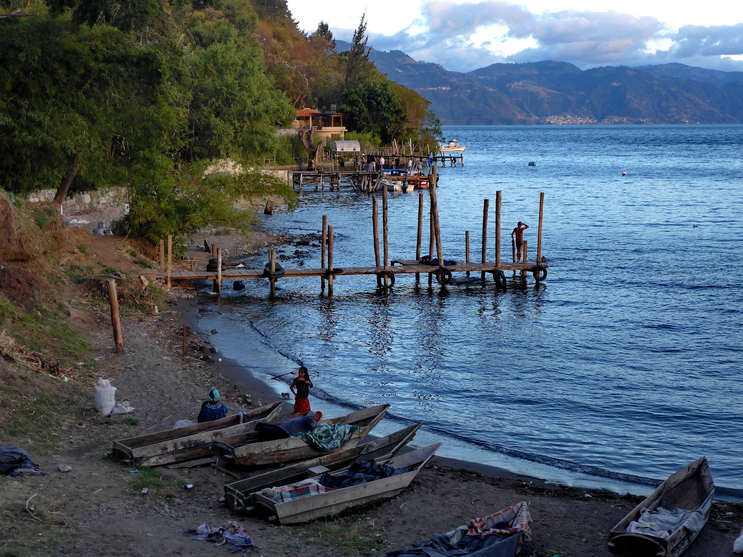
Port of Jaibalito

Fishing boys
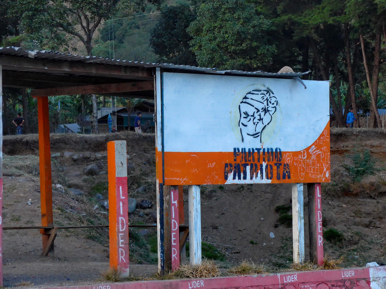
Poster of the patriotic party in Jaibalito
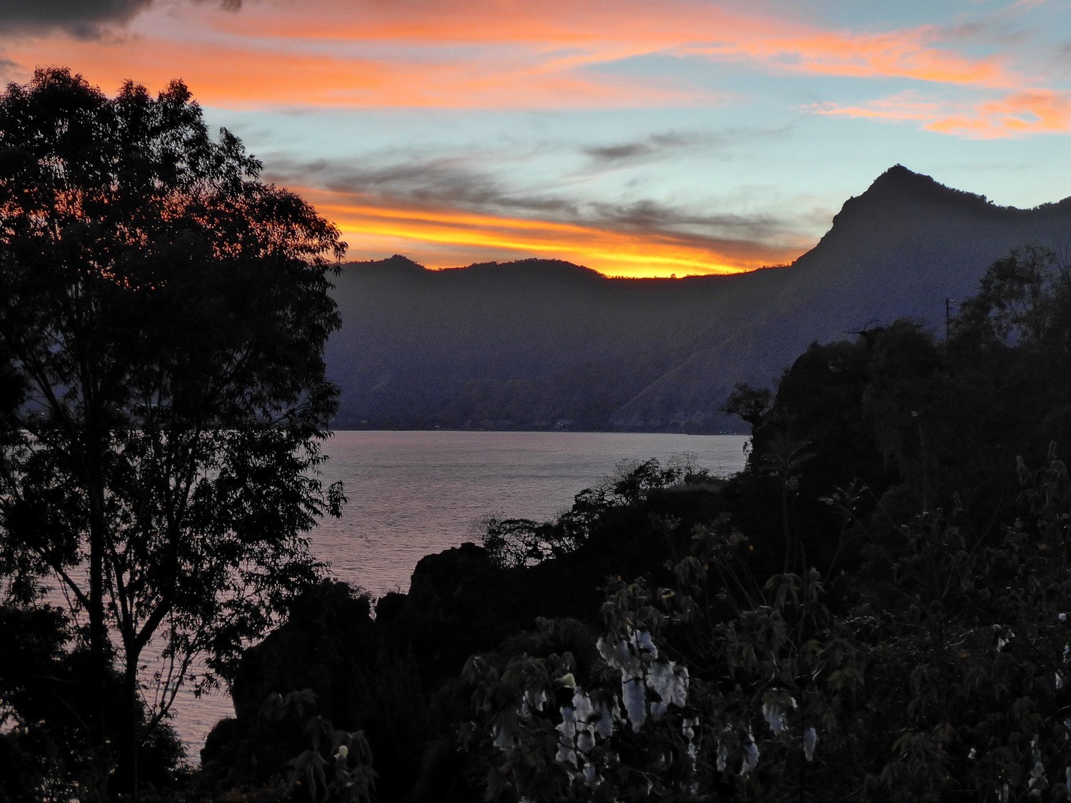
Sunset seen from our campsite Pasaj Cap with the mountain Neriz del Indio - the nose of the indio
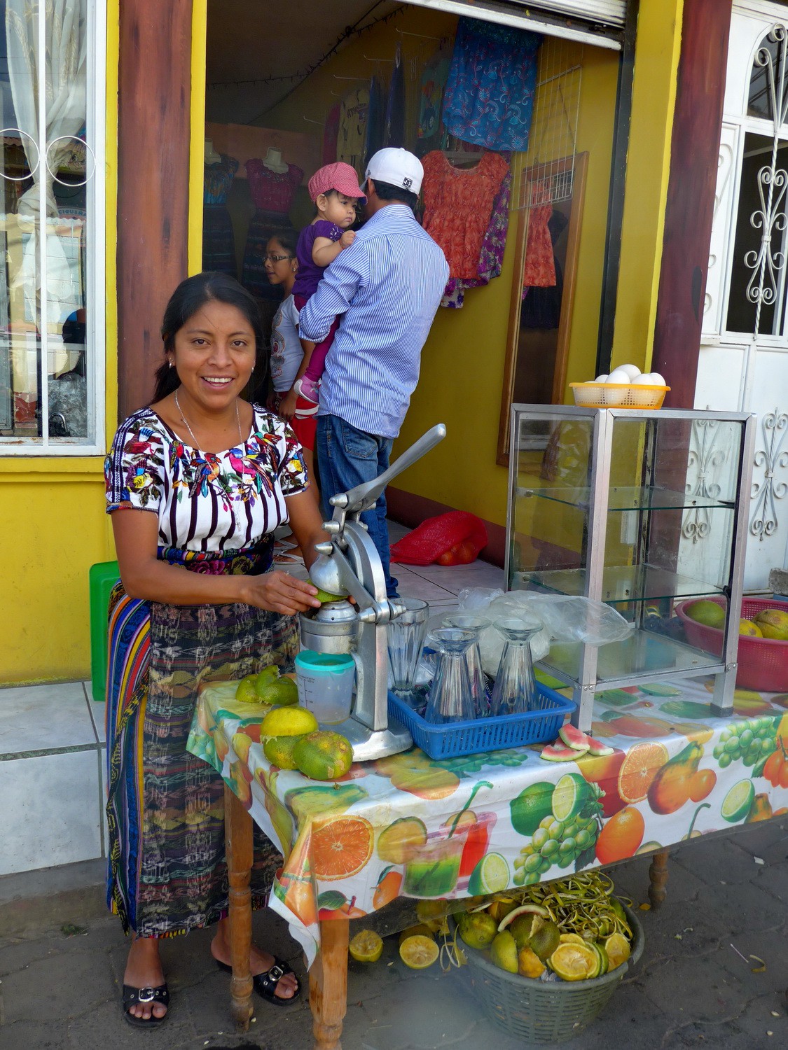
Lady selling fresh orange juice in San Juan la Laguna
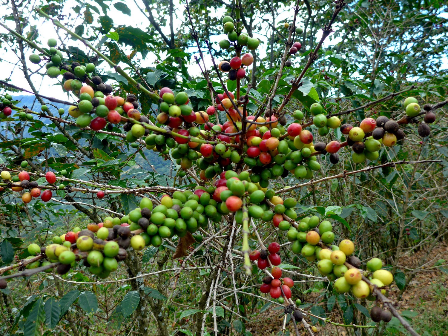
Coffee on the slopes of Nariz del Indio
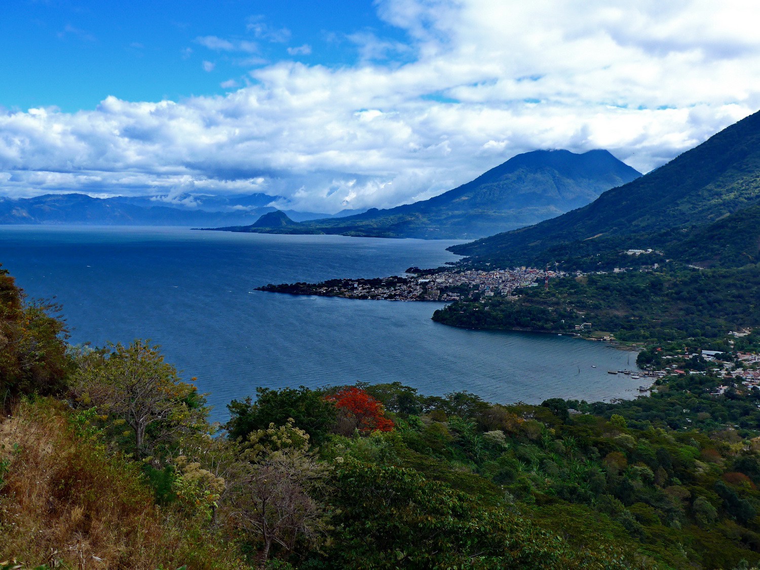
Lago Atitlan seen from the ascent to Nariz del Indio

Butterflies in a cave
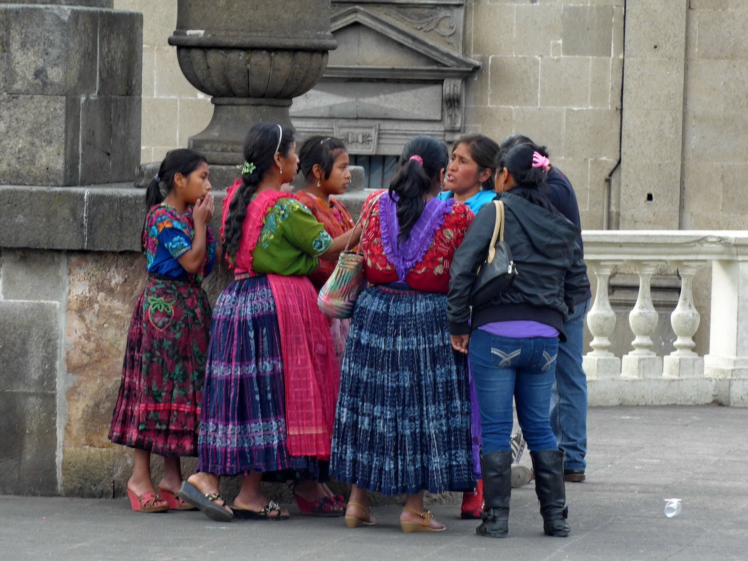
Ladies in the center of Quzaltenango, the second biggest city of Guatemala
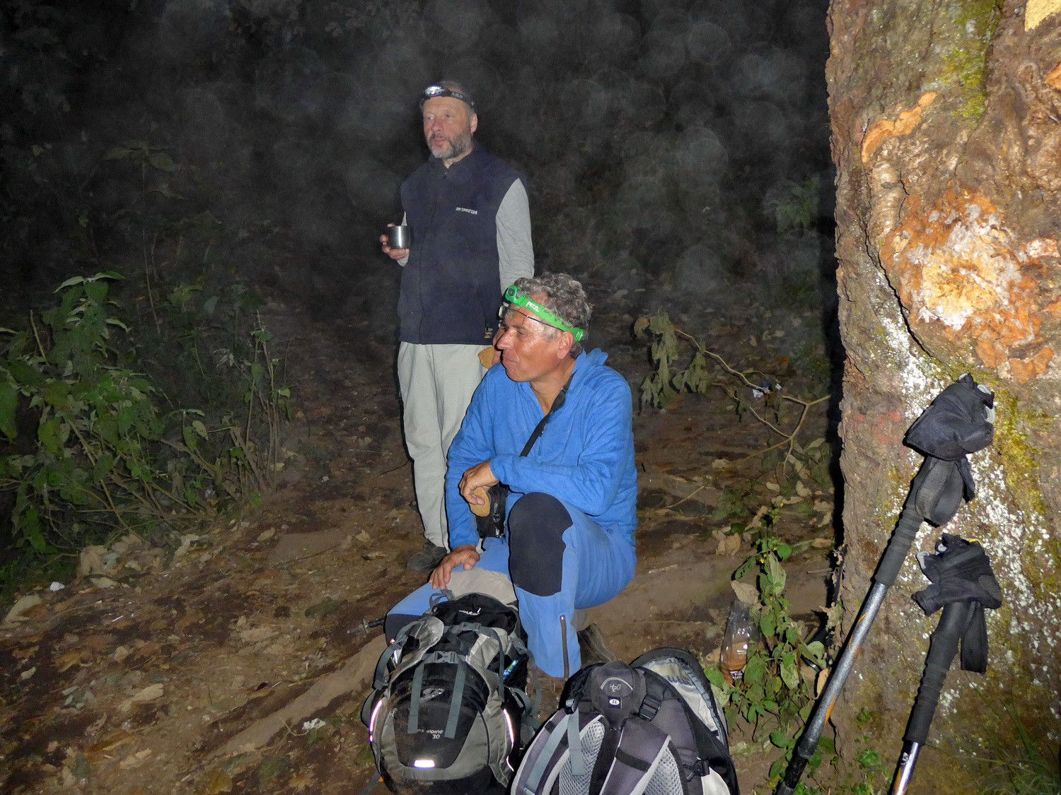
Early start to Volcan Santa Maria
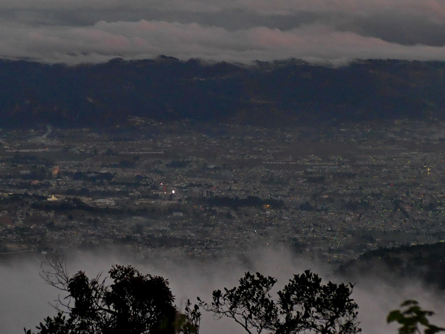
Quezaltenango in the dark
Quezaltenango before sunrise
Volcan Tajumulco on the left which is with 4220 meters sea-level the highest point of Central America
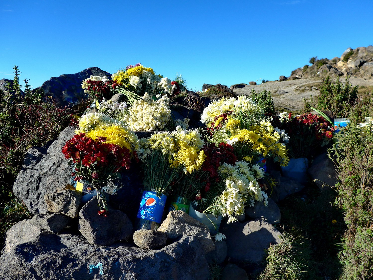
Flowers close to the top
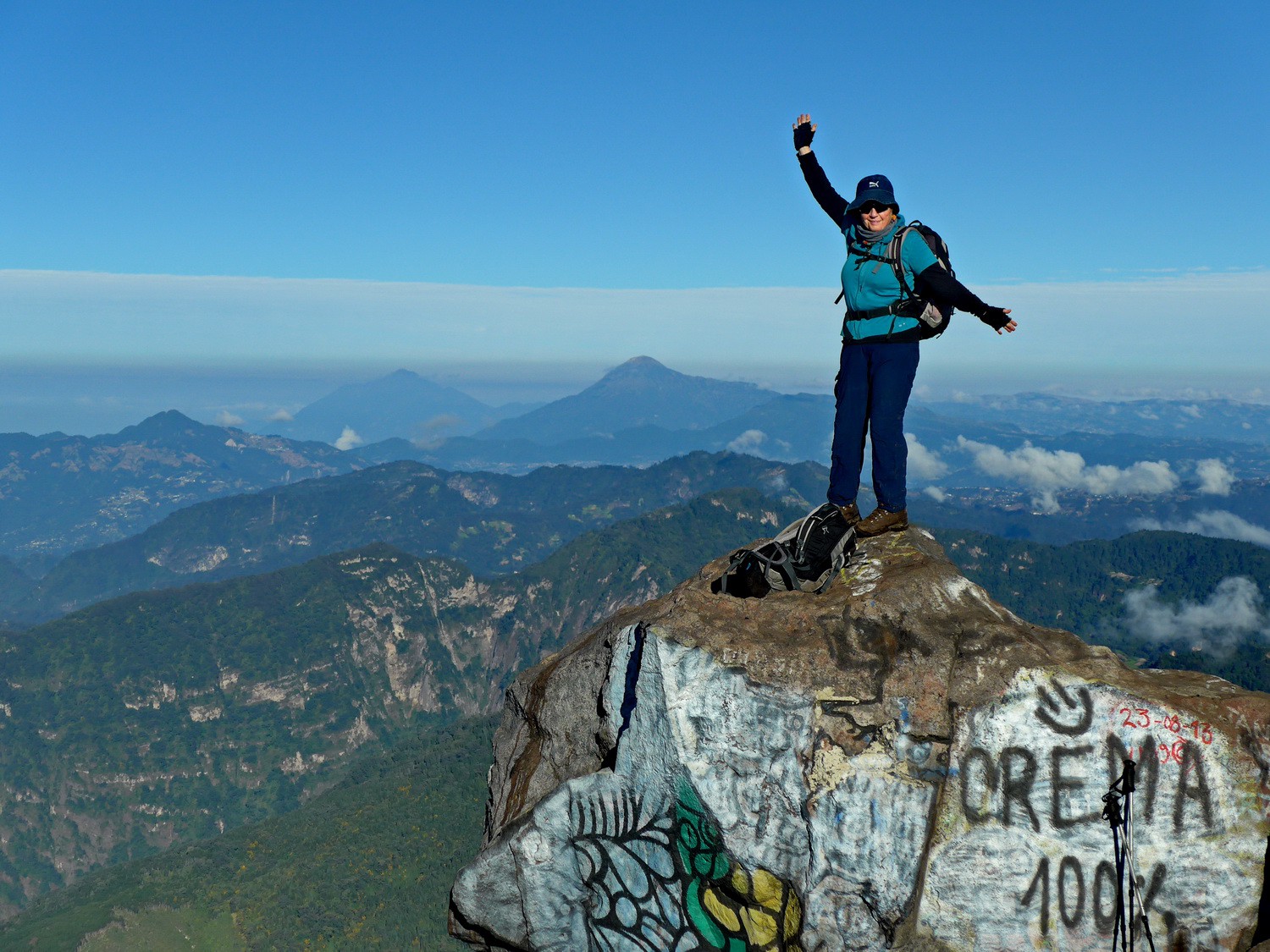
Marion an the summit of Volcan Santa Maria, 3771 meters sea-level
Tommy with Volcan Acatenango and Volcan Fuego in the background
Crater of Volcan Santa Maria
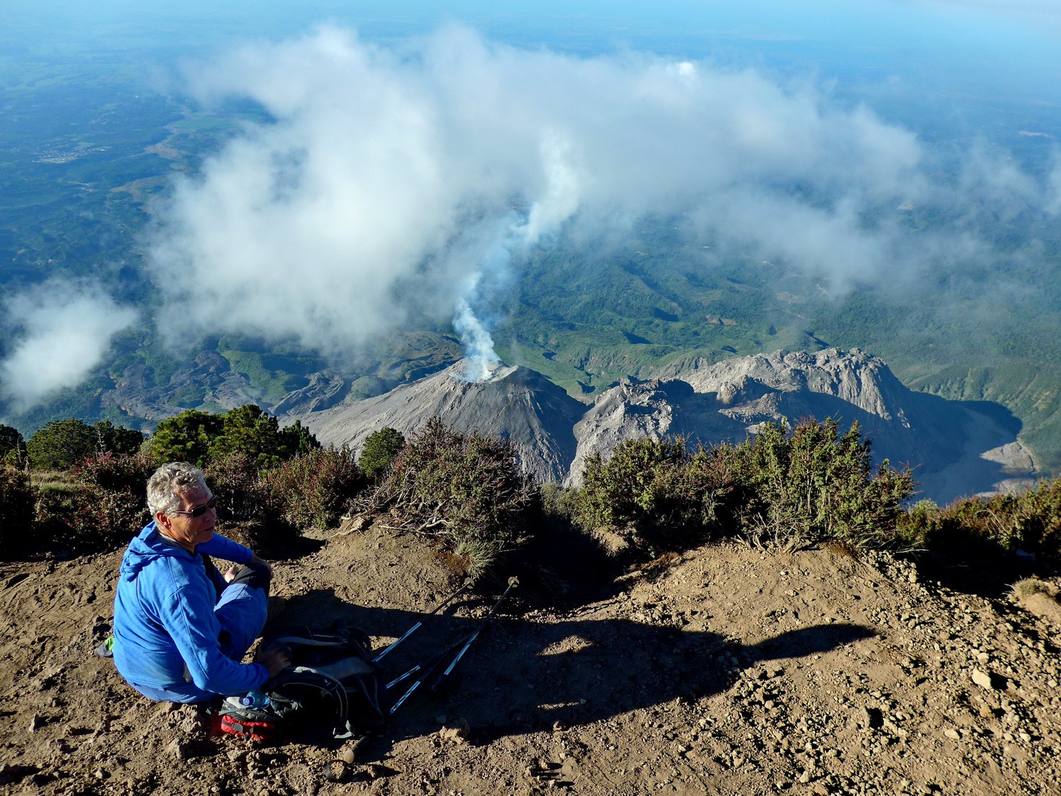
View to Volcan Santiaguito

Smoking Volcan Santiaguito

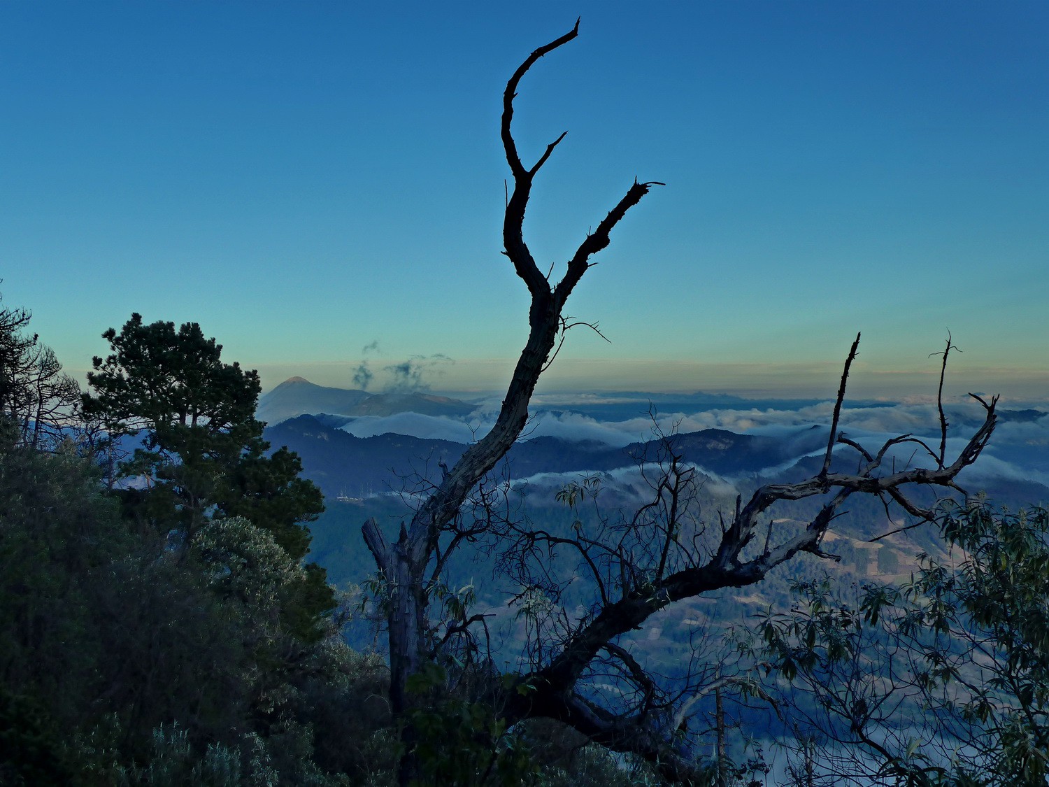
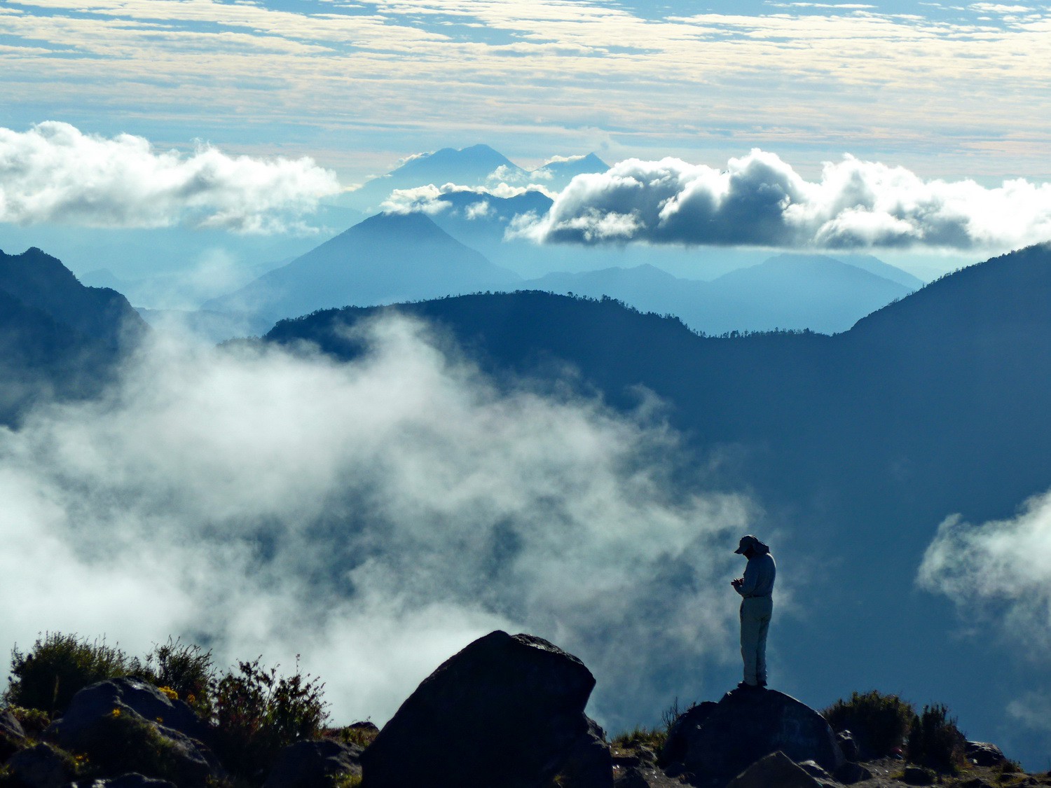
Volcan Santa Maria seen from the ascent of Volcan Tajumulco
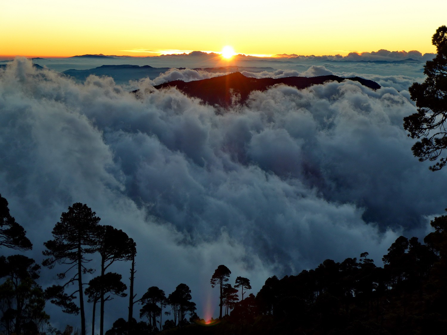
Sunrise

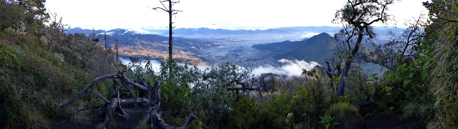
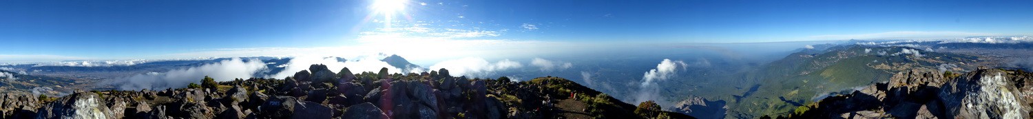
Mountain ranges of Guatemala
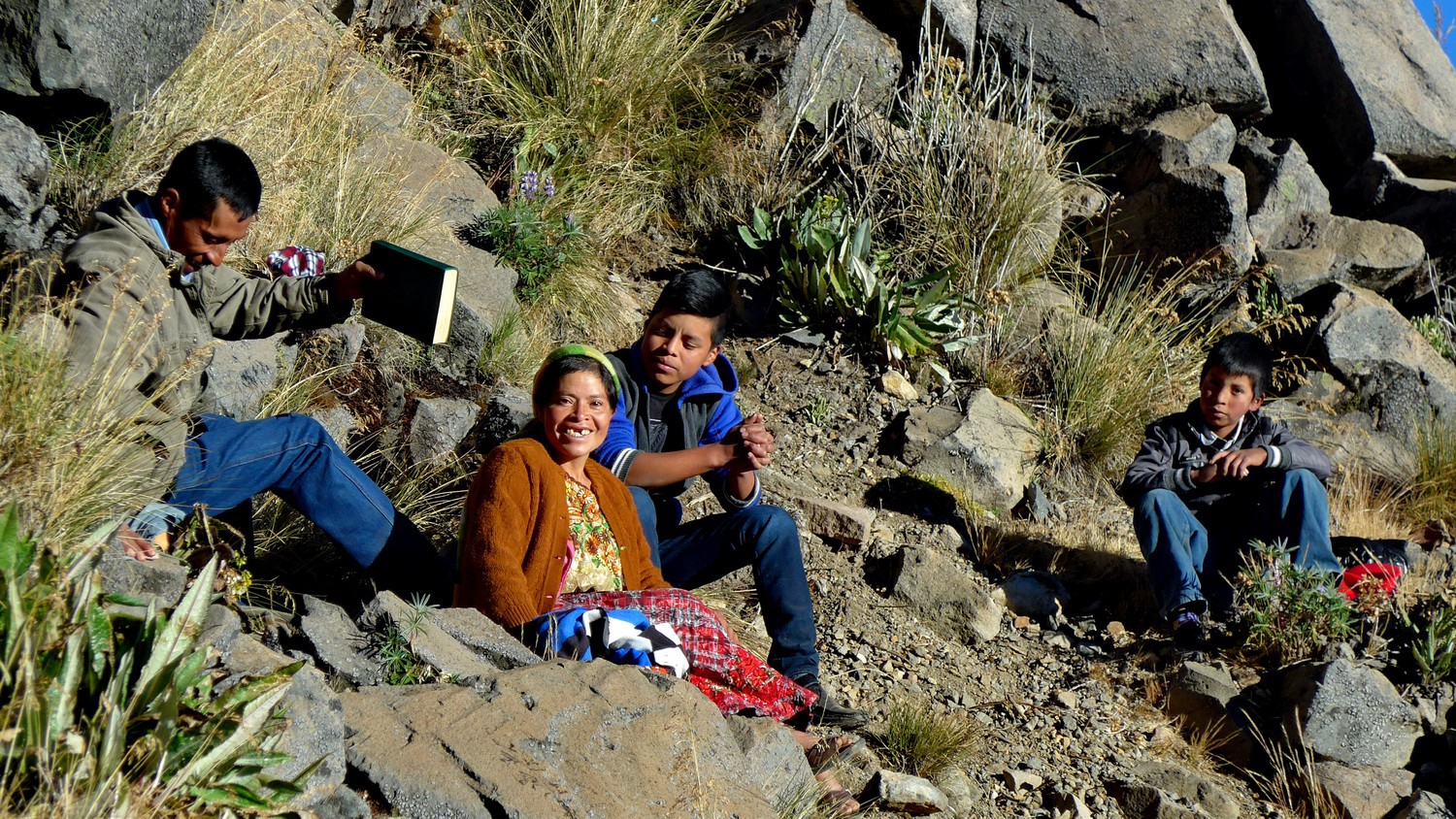
Indigenous people on the way to the summit of Volcan Tajumulco
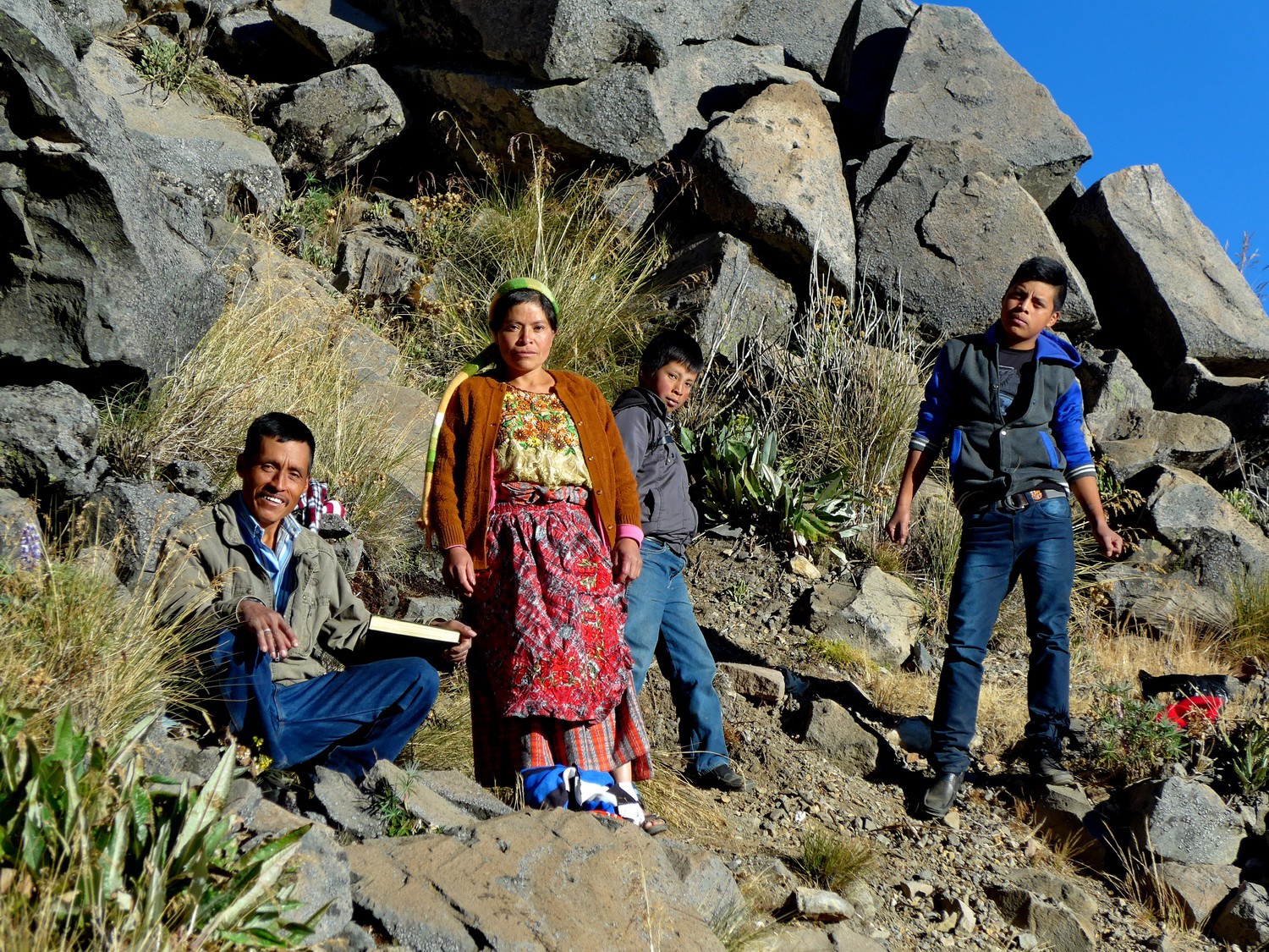
See their shoes at more than 4100 meters sea-level!
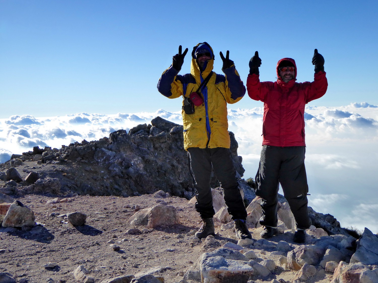
Alfred and Tommy on the summit of Volcan Tajumulco which is with 4220 meters sea-level the highest point of Central America
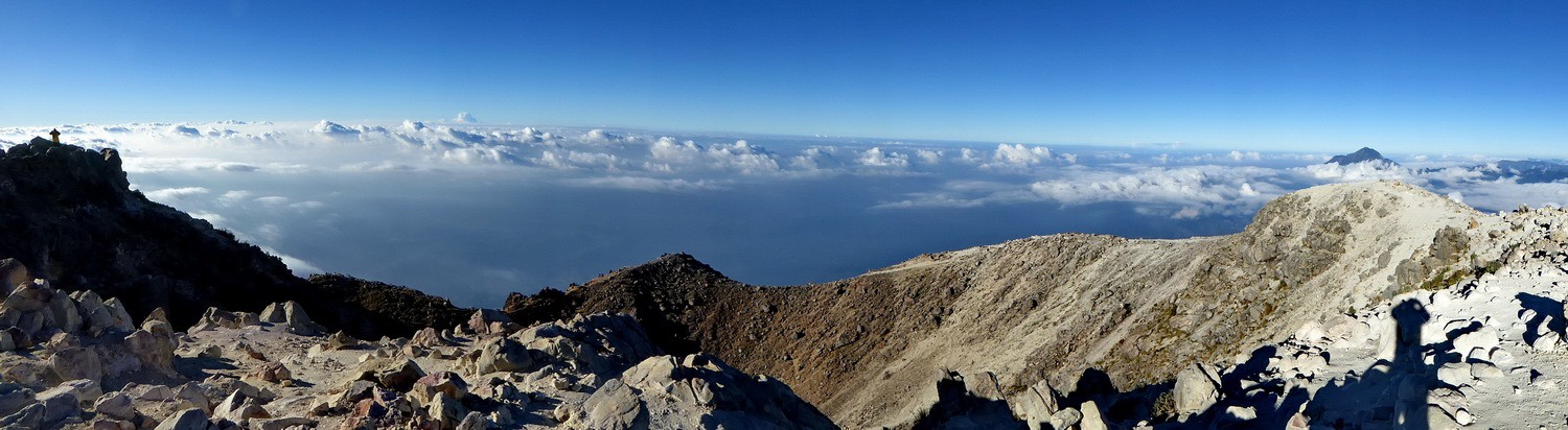
Crater of Volcan Tajumulco
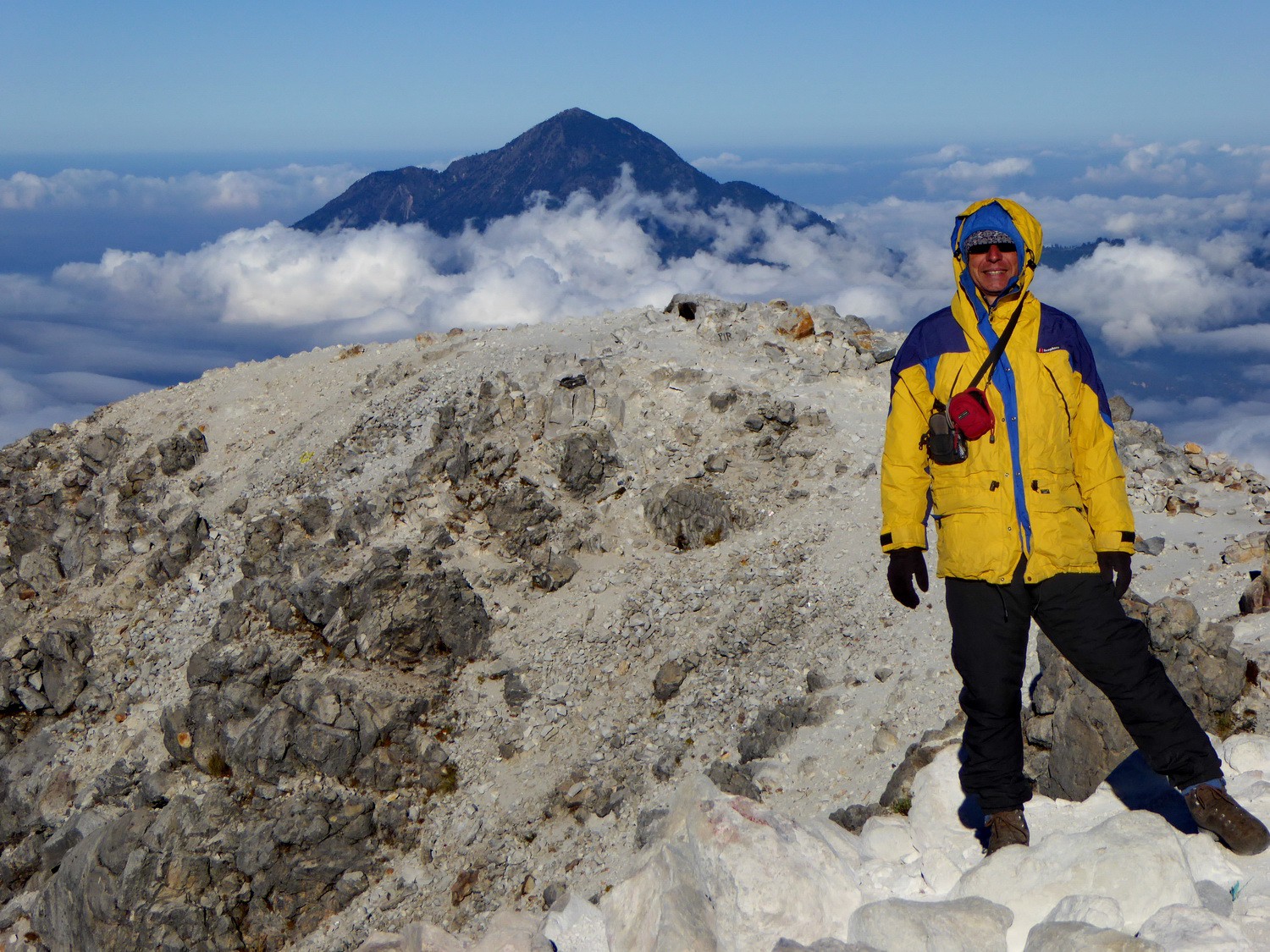
Alfred with 4093 meters high Volcan Tacana, our next target ...
Powered by Phoca Gallery