We spent in Mallorca the last two week in May 2022 to enjoy the Mediterranean Sea and to hike a little bit.
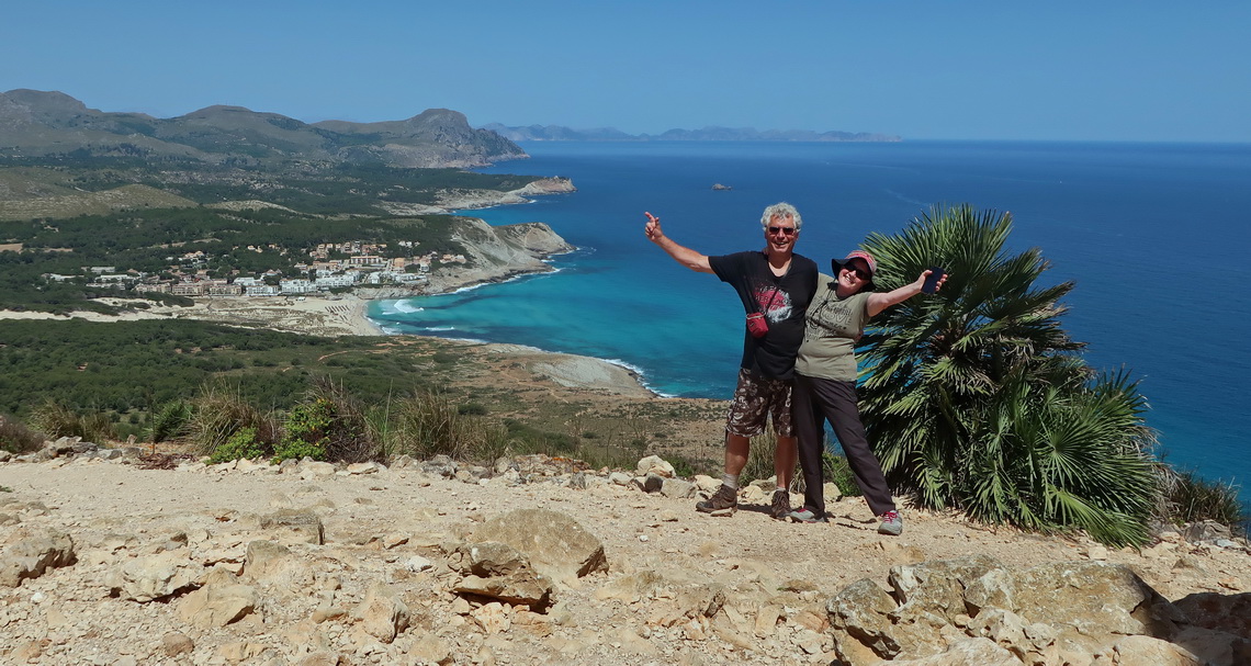
There is a spiky mountain range along the northern shore of the island - Serra Tramuntana which is an UNESCO World Heritage Site. The long distance trail GR221 - The dry-stone route leads from Port d'Antratx (northwest corner of Mallorca) to Polença (northeast corner). This approximately 145 kilometers long hike is challenging due to its remoteness on rough and rocky terrain, and it is barely impacted by mass tourism.
We walked 9 days from Port d'Antratx to Polença including 8 peaks and a day trip to the marvelous island Sa Dragonera where we went to its highest point Puig des Far Vell and its northeast end Cap de Tramuntana. Thanks to the sunny and warm weather we could hike with lighter backpacks but our good mountains boots where more than helpful.
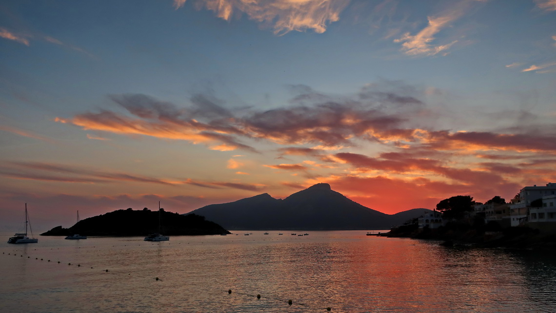
We took the public bus from Palma de Mallorca to Port d'Antratx where we walked to the lighthouse Far de la Mola - a short two hours trip. The splendid hostel Hostal Catalina Vera provided an extraordinary breakfast. The first section of GR221 from Port d'Antratx to Sant Elm was comfortable - just 14 kilometers and 700 meters height including two little peaks (Puig D'En Ric - 319 meters high and Serra de Sa Tea - 215 meters high). In Sant Elm we stayed two nights in the huge and busy Universal Hotel Aquamarin to visit Sa Drogonera (see above).
The second section of GR221 from Sant Elm to Estellencs was the toughest: We needed 13 hours for its 26 kilometers and 1300 meters height with very few shady parts including the summit of 927 meters high Moleta de S'Esclop. Fortunately we got some water half the way and we started early in Sant Elm. But when we arrived at 9:00PM on the costly Maristel Hotel in Estellencs we got just a simple dinner, again very expensive. We felt a little bit extorted because there is no other hotel in or close to Estellences.
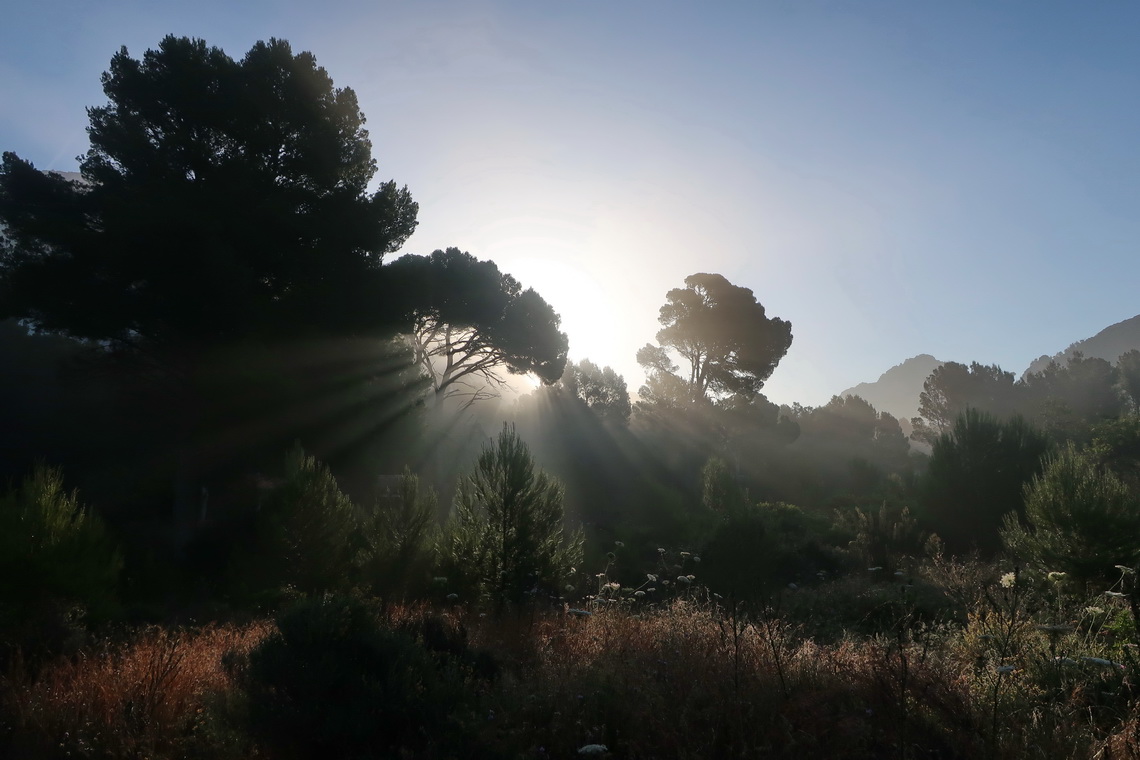
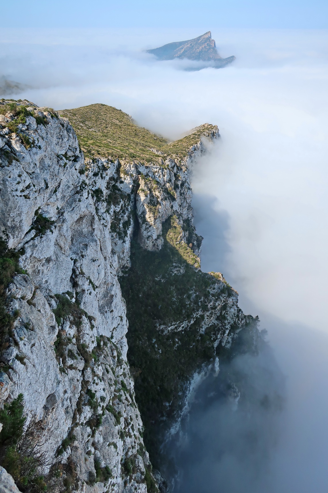
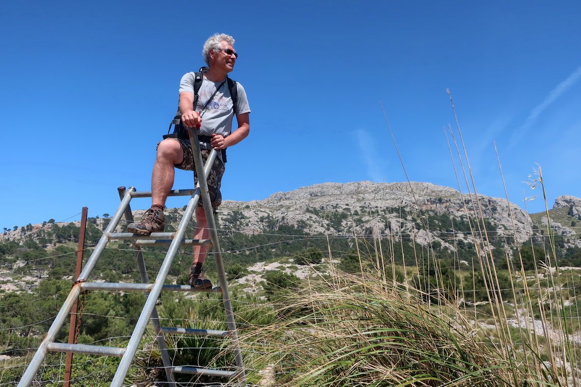
The third part of GR221 from Estellencs to Esporles was lass challenging - 15 kilometers with 500 meters height often through the forest with a lot of shadow. There is the nice youth hostel Sa Fita Backpackers in Esporles where we slept the night for a quarter the price we paid in Estellencs. Being grandparents was not an issue al all to stay in the youth hostel.
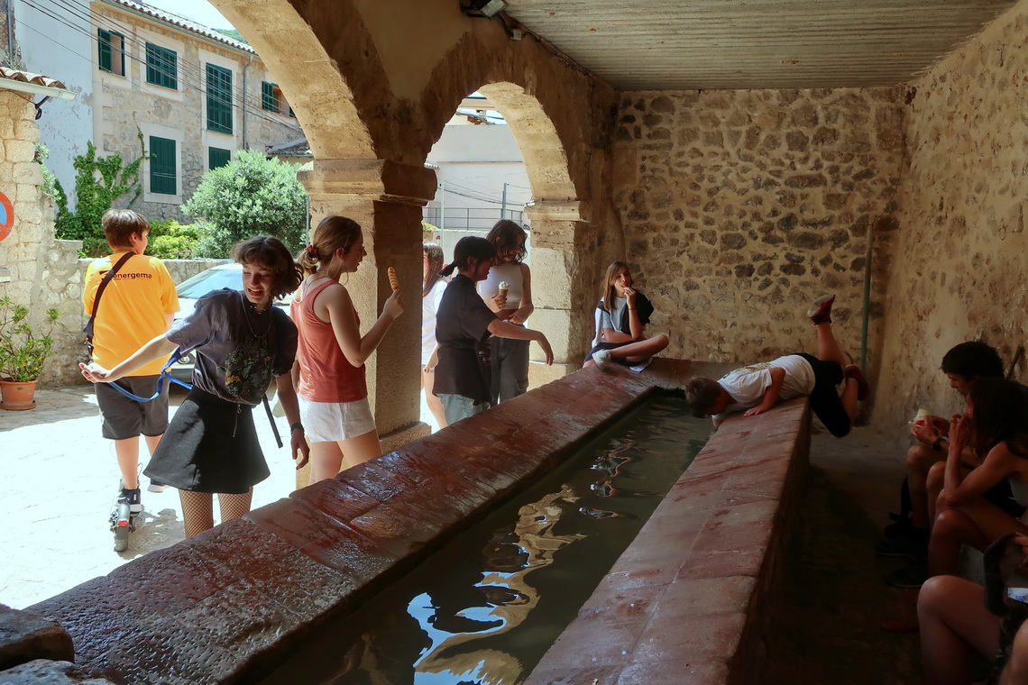
The fourth part of GR221 from Esporles to Deia was hard and hot, again - 22 kilometers with more than 1200 meters height including the summits of 714 meters high Mola de Sa Comuna and 944 meters high Es Caragolí. Especially the latter one provided stunning views of the Serra de Tramuntana including the highest peak of Mallorca: Puig Major (1436 meters sea-level) which is not accessible due to military usage of USA. Fortunately there is the little town Valdemossa half the way where we enjoyed a huge portion of ice cream and cold feet in a fountain. Valdemossa is famous for the musician Frederic Chopin who lived there between November 1838 and February 1839.
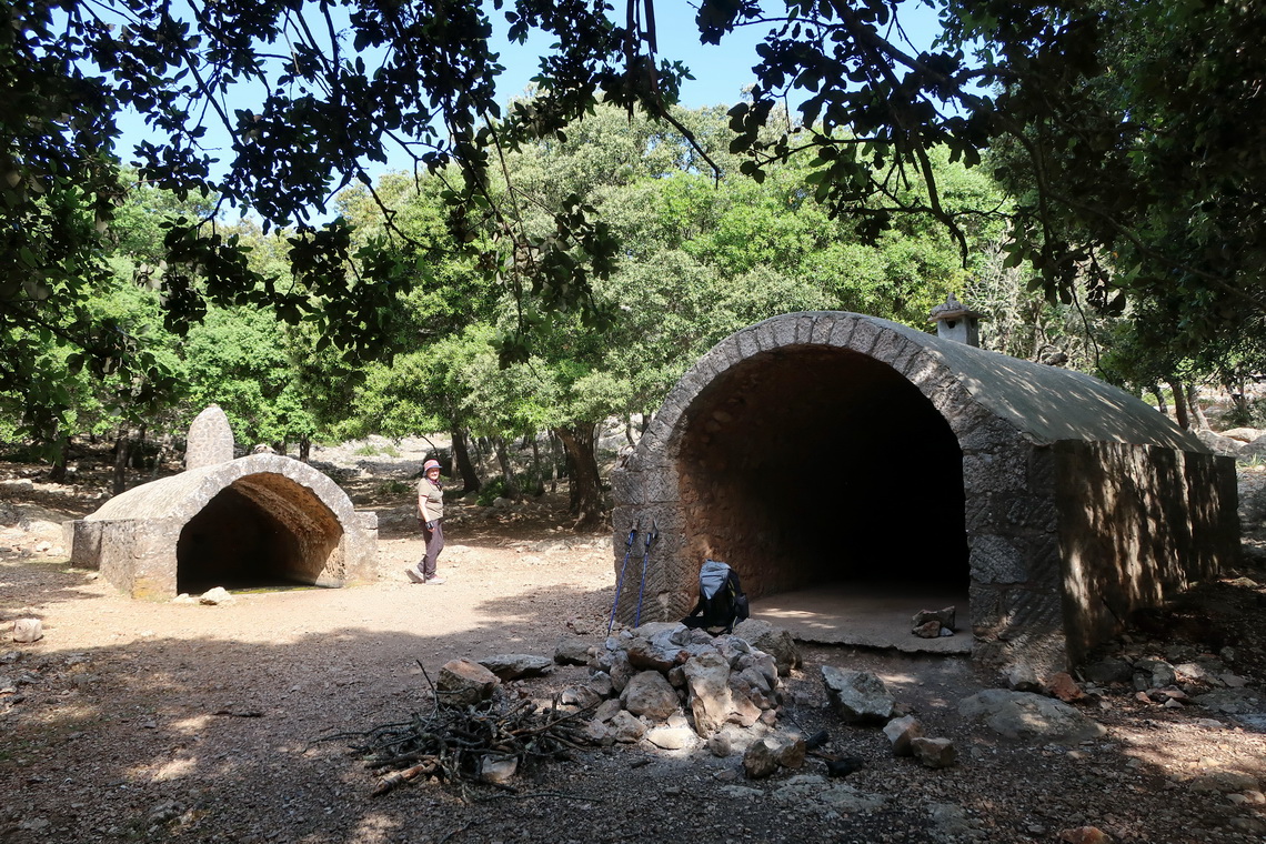
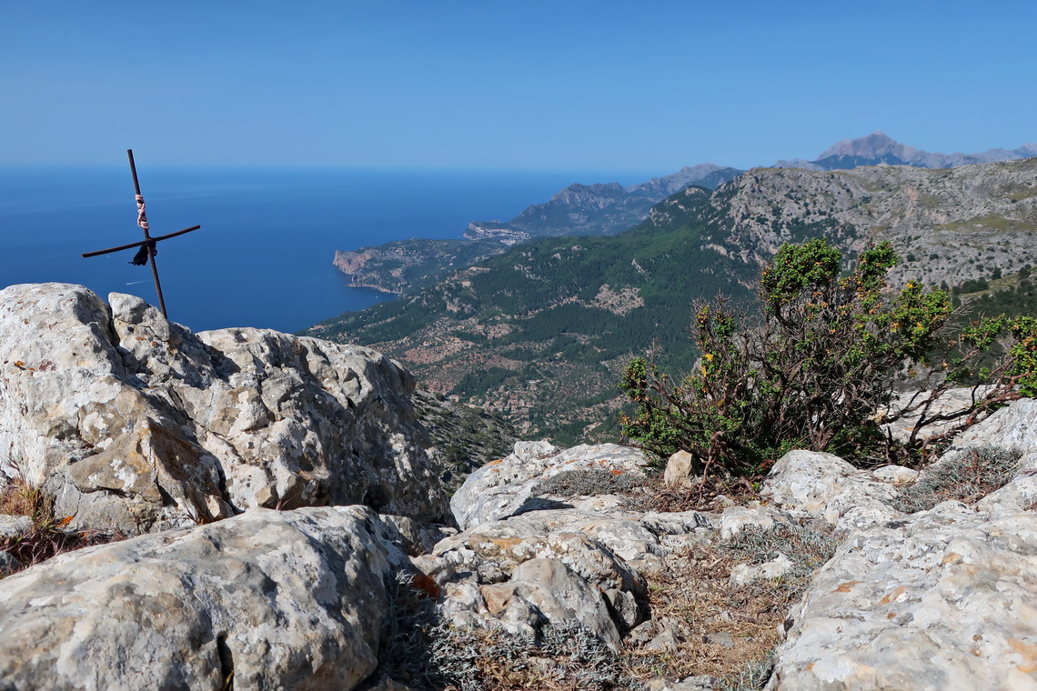
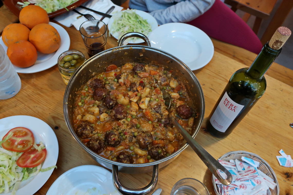
In Deia we stayed in the nice mountain hut Refugi de Can Bo. Mallorca has five superb mountain huts which we used for the next parts of GR221. The price is incredible - we paid € 29.- per night per person including breakfast and a fabulous dinner including local red wine. The only disadvantage is that you have to book in advance and you cannot change the date after booking. You must book a night in a mountain hut on a special website of the government of Mallorca, see https://seu.conselldemallorca.net/refugis/en/ruta/
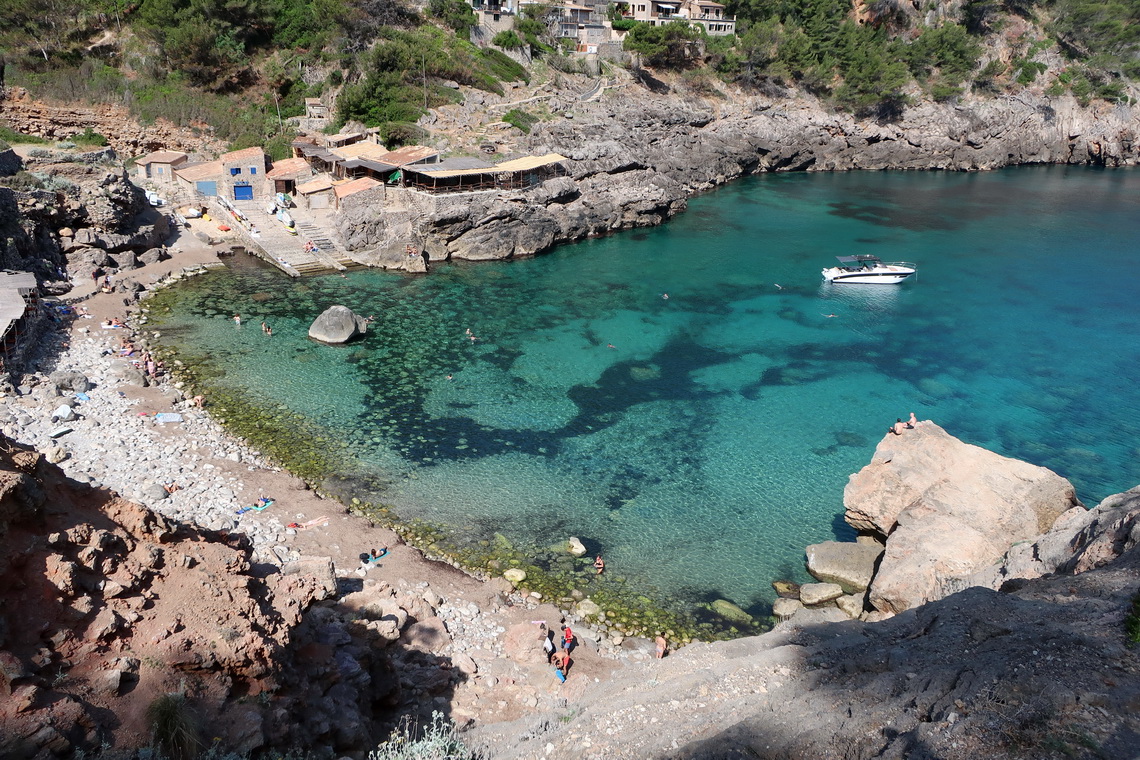
We chose the trail along the shore for the fifth part of GR221 from Deia to the mountain hut Refugi de Muleta in Port de Sóller. Again a comfortable hike of just 12 kilometers and 500 meters height, and we could swim in the Mediterranean Sea several times.
Our sixth section of GR221 was the hottest - up to 37°C on an endless trail of 19 kilometers and 1150 meters height. Fortunately we could use a taxi from the Refugi de Muleta to the little town of Soller which we shared with two younger and nice younger Ladies from Spain and France. We arrived on the mountain hut Refugi des Tossals Verds in Escorca, again at 9:00PM (like on the second section of GR221) but in comparison to the expensive Maristel Hotel in Estellencs we got a very good dinner.
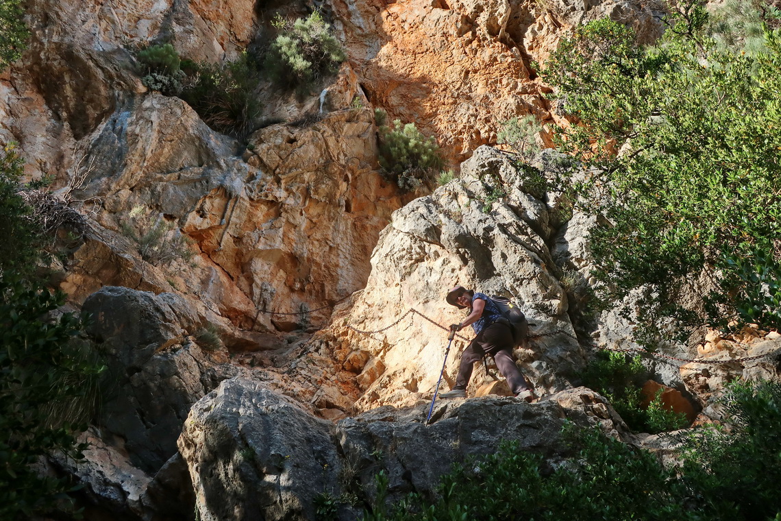
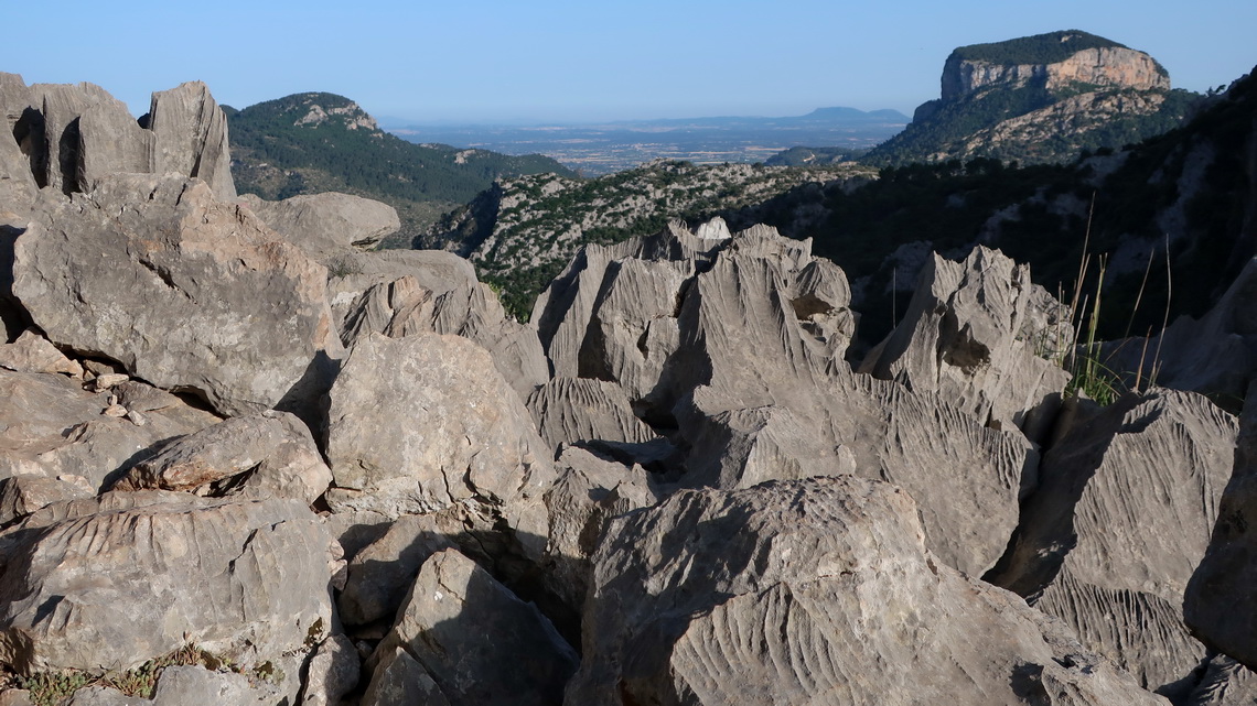
The seventh section of GR221 is the highest - it leads over 1200 meters sea-level. The distance to the mountain hut Refugi de Son Amer in Lluc is medium - approximately 16 kilometers with 900 meters height. We climbed up the two peaks Puig de Sa Mola (1181 meters sea-level) and Serra Des Teixos East which is with 1259 meters sea-level our highest point of Mallorca. Half an hour before we arrived on the mountain hut we visited the famous monastery Lluc.
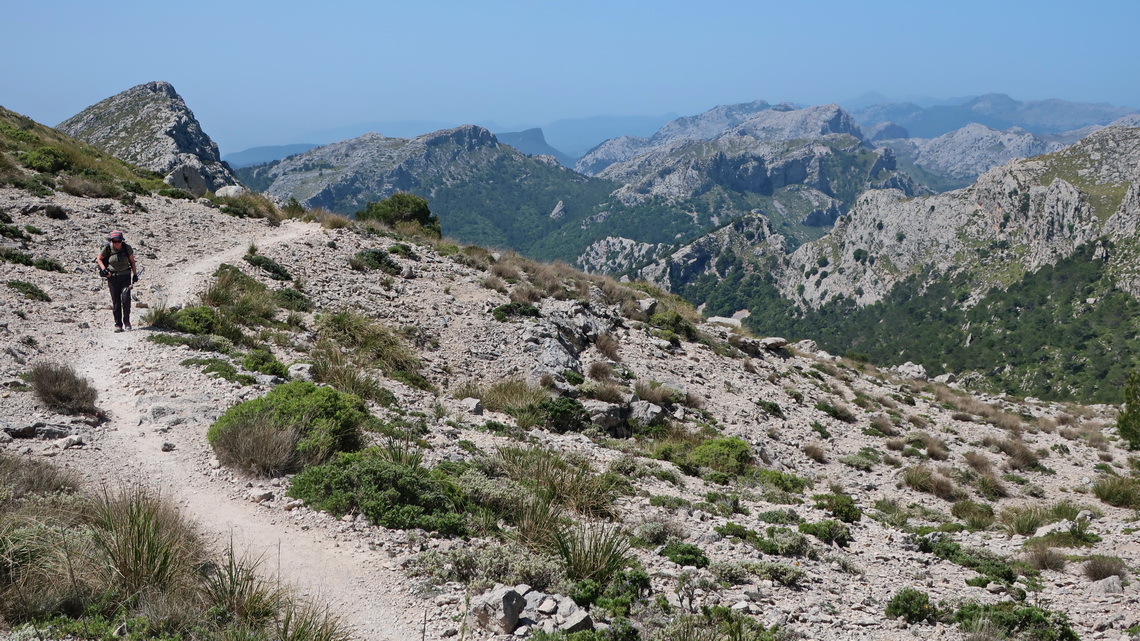
The weather forecast became rainy in two and the following days, exactly the date we wanted to hike through the narrow gorge Torrent de Pareis. It is dangerous and forbidden to access this gorge on rainy weather, see https://www.torrentdepareis.info/pareis%20english.htm. Thus we wanted to change our schedule and to stay one day more on the mountain hut Refugi de Son Amer which is close to the upper entrance of the gorge Torrent de Pareis. The manager of the hut phoned many times with the responsible authorities of the government of Mallorca bus it was impossible without major additional costs.
The last and eighth section of GR221 to the mountain hut Refugi Del Pont Romà in Polença is comfortable - 18 kilometers mainly downwards.
Polença is a marvelous town with an antique roman bridge, several old churches and a Calvary. Remarkable was an interesting art exhibition ancient church Mare de Déu Del Roser.
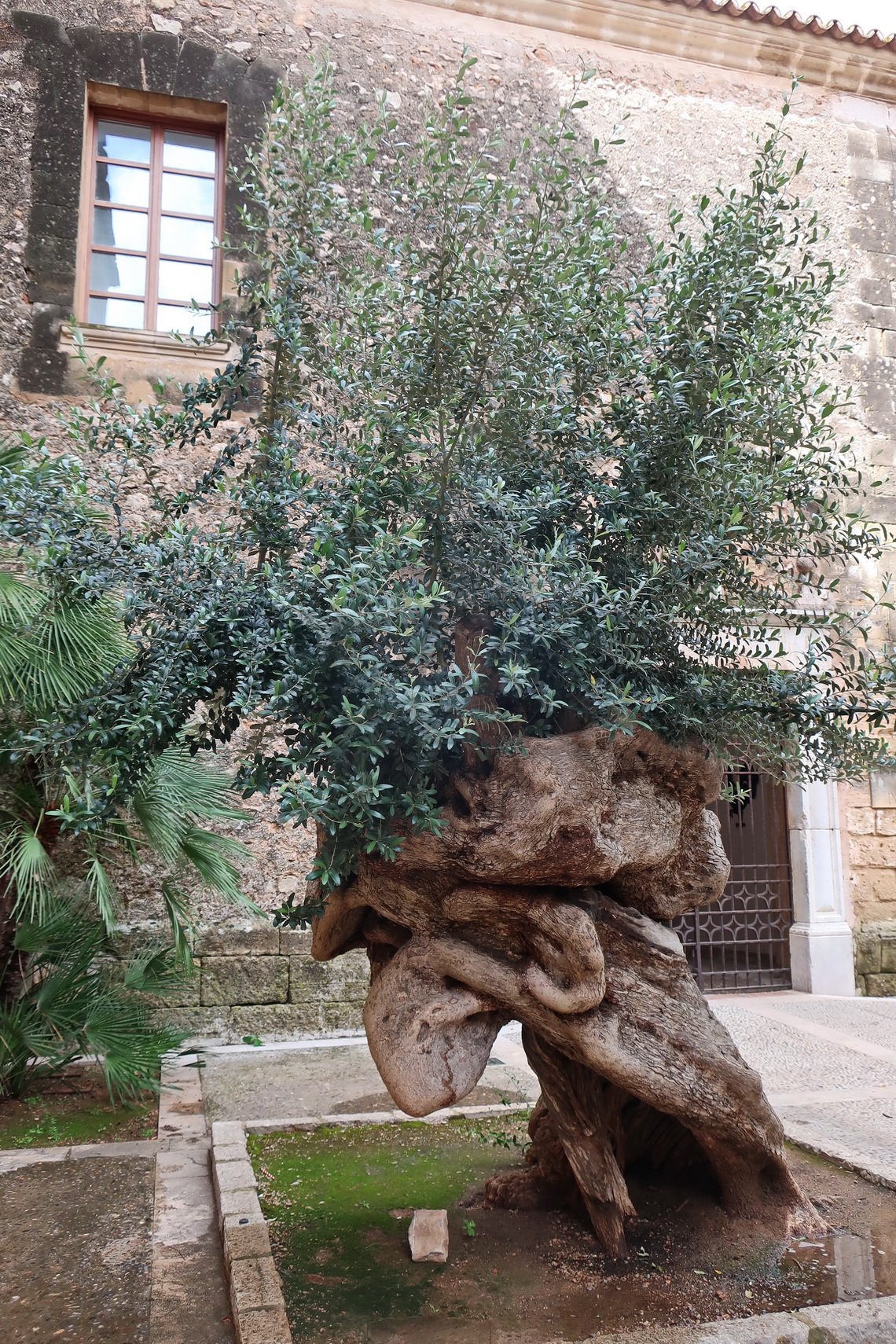
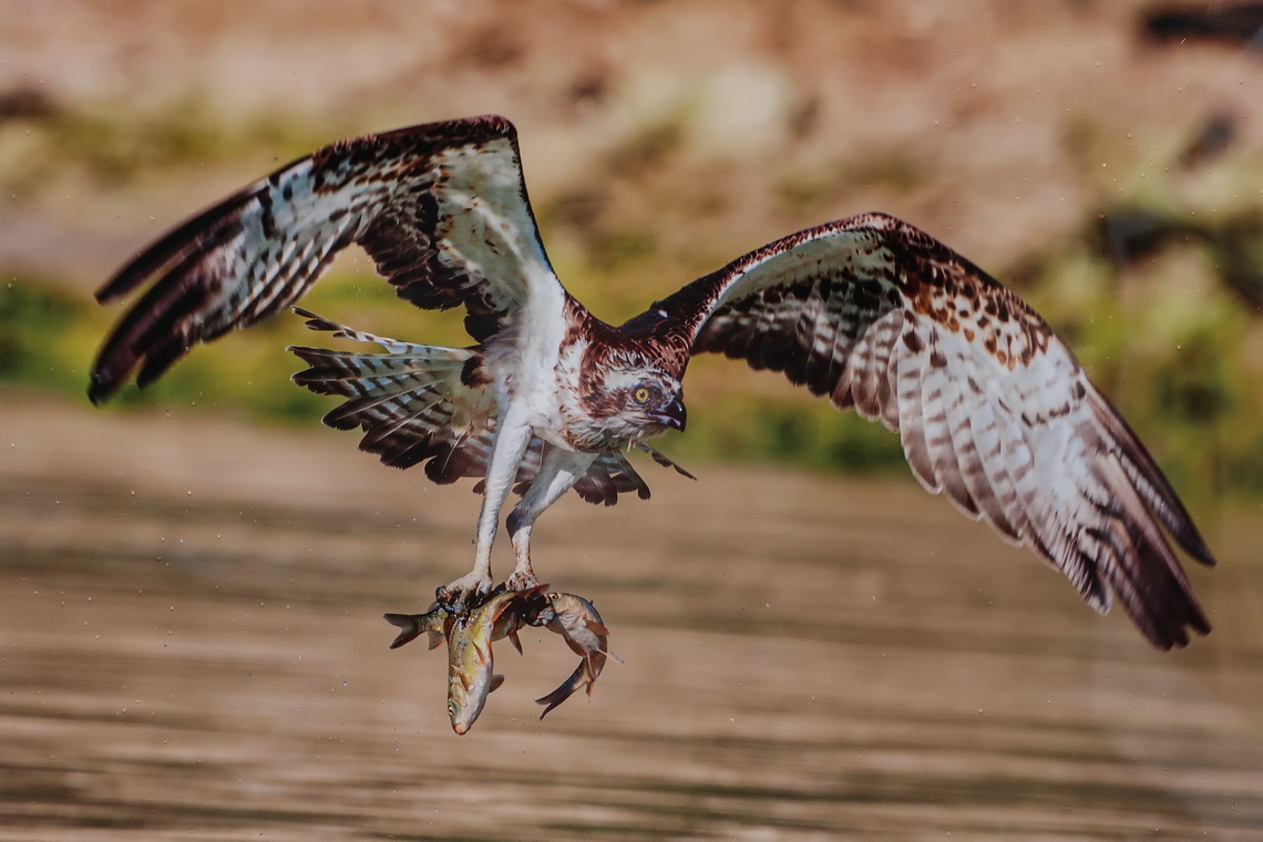
We continued via public bus to the calm beaches of Port de Polença where we stayed two nights in the nice Panorama Hotel. On the first evening we celebrated intensively our successful traverse of the Serra de Tramuntana with the two girls from Spain and France. We did the last parts mainly together and had a lot fun in the mountain huts - Thank you so much.
On the next day we hiked few kilometers to the awesome beach of Cala Bóquer. Due to stormy and rainy weather swimming was not possible.
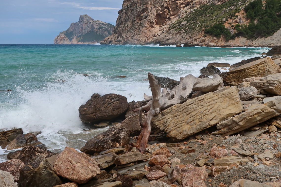
The weather became sunny and hot again, bat the gorge Torrent de Pareis was still closed due to high water. Consequently we decided to visit to the east corner of the island where the second mountain range of Mallorca, the Serres de Llevant mets the Mediterranean Sea. It was a little bit complicated to travel from Port de Polença to Cala Rajada: First we took the bus to Inca, second the train to Manacor and third the bus to Cala Rajada where we stayed our last three days in the cozy Hostal Alfonso Guesthous. Generally the public transportation system in Mallorca is very good, useful and not too expensive.
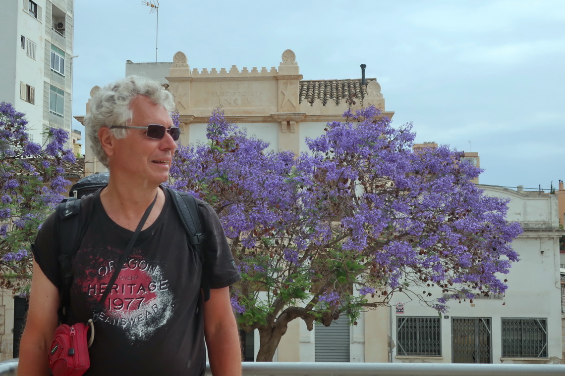
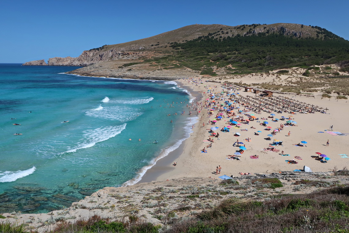
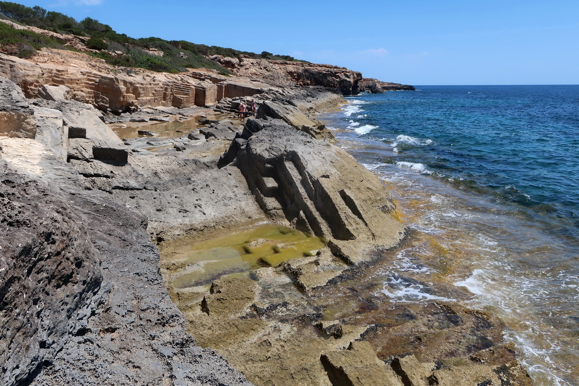
Firstly we hiked to the huge beach Cala Mesquida via the little mountain Talaia de Son Jaumell (273 meters sea-level) where we had marvelous views. On our last full day we took the bus to Sa Coma and walked along the rocky shore to Cala Milnor. Swimming in the already pleasant warm Sea was a pleasure.
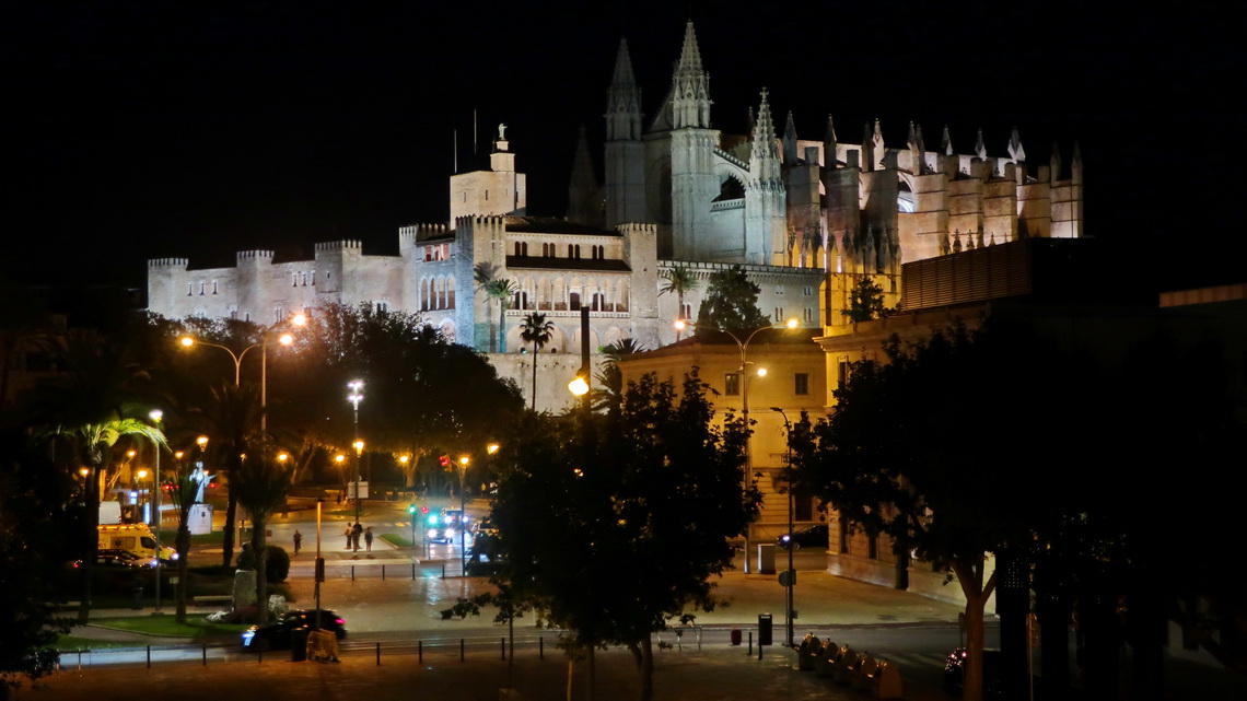
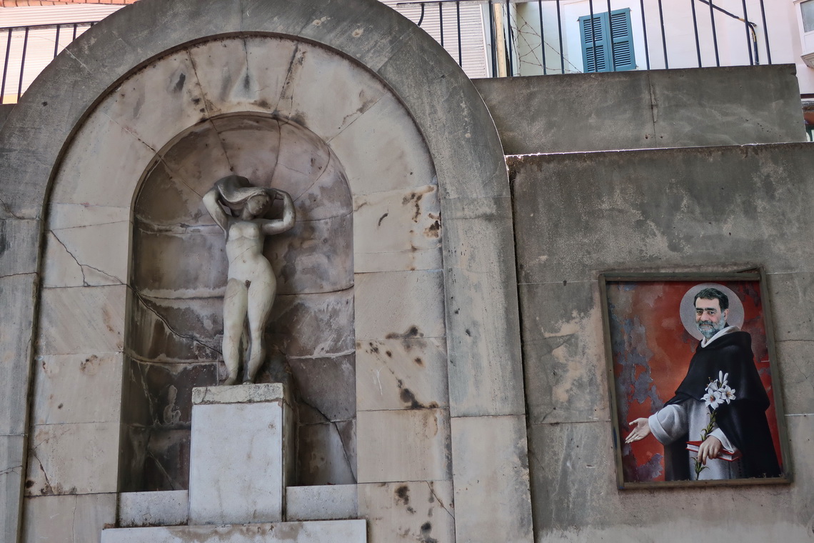
We spent our first evening and last afternoon in the capital Palma de Mallorca which is a pretty and busy city with nearly half a million inhabitants. We strolled mainly around its beautiful old town which has a lot of interesting buildings, places and history.
All of our hikes and overnight staying places are in our GPS coordinates file of Spain - Mallorca.
For more pictures, please click here
For a map of our itineraries, click here
To download our GPS coordinates file of Spain - Mallorca, click here